
Mit dem Fahrrad von Saint Louis Park nach Minneapolis
Erstelle deine eigene Route auf der Grundlage unserer Vorlage oder lass dich inspirieren, wie unsere Nutzer am liebsten von Saint Louis Park nach Minneapolis radeln.
Routenvorlage
Saint Louis Park nach Minneapolis

- 46 min
- Dauer
- 13,2 km
- Distanz
- 69 m
- Aufstieg
- 84 m
- Abstieg
- 17,2 km/h
- Ø-Tempo
- 280 m
- Max. Höhe
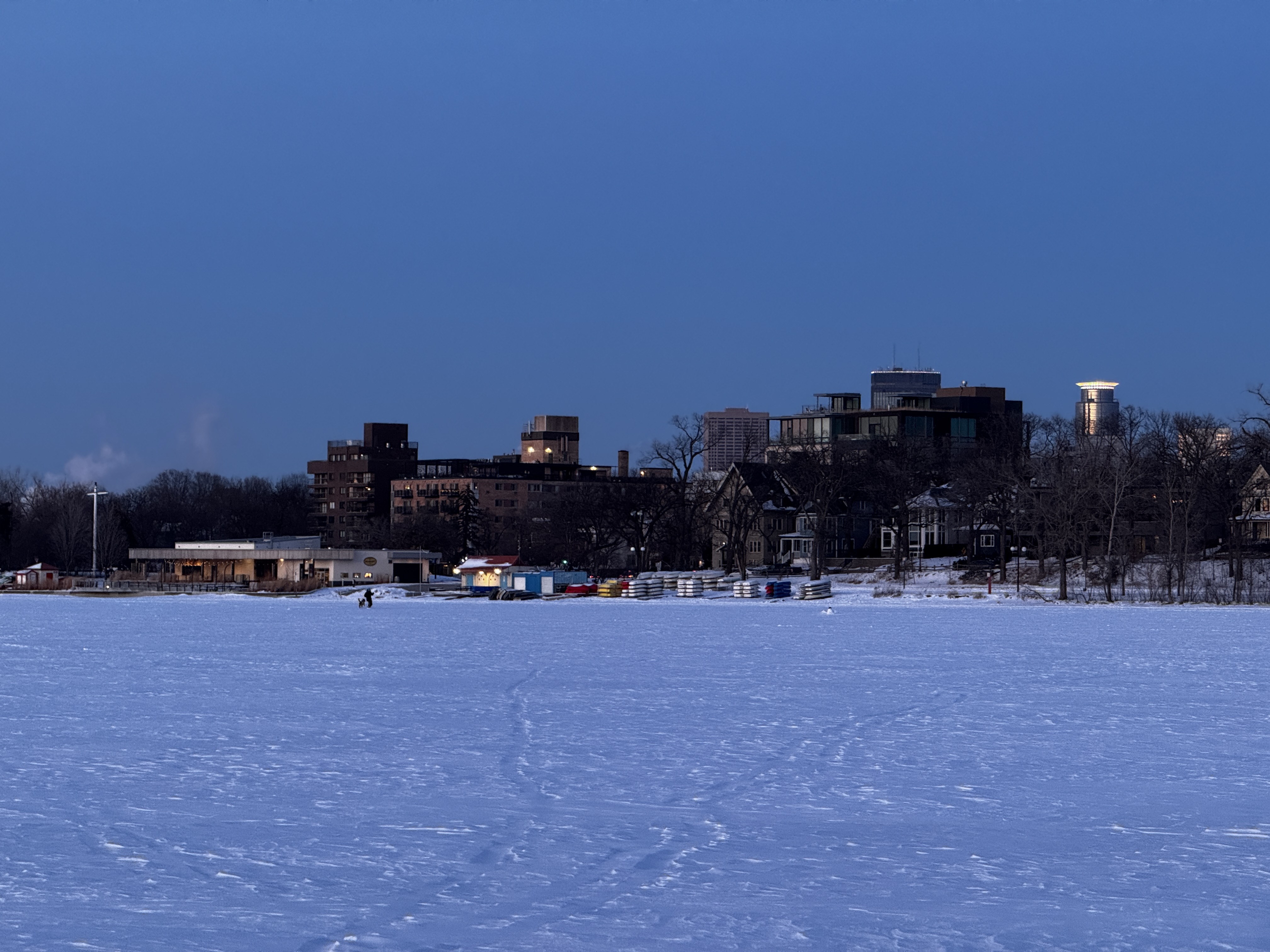
Schnapp dir dein Bike und starte in Saint Louis Park – einer entspannten Vorstadt von Minneapolis, die für ihre zahlreichen Parks und tollen Radwege bekannt ist. Die rund 13 Kilometer lange Route führt dich größtenteils über gut ausgebaute Radwege (ca. 74%), und du kannst dich auf angenehme, überwiegend asphaltierte Strecken freuen. Mit nur knapp 69 Metern Gesamtanstieg bleibt die Strecke ziemlich flach und locker fahrbar – perfekt auch für Einsteiger!
Nach einer gemütlichen Fahrt erreichst du das lebhafte Minneapolis. Die Stadt ist nicht nur das kulturelle Zentrum von Minnesota, sondern auch als eine der fahrradfreundlichsten Städte der USA bekannt. Unterwegs erwarten dich viele grüne Abschnitte und ruhige Straßen, also ideale Bedingungen zum entspannten Pedalieren. Ob du dich in Minneapolis gleich ins Großstadtleben stürzt oder die vielen Seen erkunden willst – dieser Weg ist ein super Einstieg.
Kurz gesagt: Eine Strecke, die Spaß macht, abwechslungsreiche Wege bietet und dabei stressfrei bleibt!
Community
Top-Mitglieder in dieser Region


Von unserer Community
Die besten Fahrradrouten von Saint Louis Park nach Minneapolis


Cedar Lake Trail, St. Louis Park to 1406 Spruce Pl, Minneapolis
Fahrradtour in Saint Louis Park, Minnesota, Vereinigte Staaten
- 25,5 km
- Distanz
- 110 m
- Aufstieg
- 126 m
- Abstieg

B2B00450 55416>55402 via W 26th St, Cedar Lake Trl, S 10th St, 3rd Ave S
Fahrradtour in Saint Louis Park, Minnesota, Vereinigte Staaten
- 9,9 km
- Distanz
- 145 m
- Aufstieg
- 149 m
- Abstieg

B2B00705 55416 > 55402 via Midtown Greenway, Park Ave
Fahrradtour in Saint Louis Park, Minnesota, Vereinigte Staaten
- 7,6 km
- Distanz
- 17 m
- Aufstieg
- 19 m
- Abstieg

B2B00876 55416>55415 via Cedar Lake Trl
Fahrradtour in Saint Louis Park, Minnesota, Vereinigte Staaten
- 9,8 km
- Distanz
- 54 m
- Aufstieg
- 53 m
- Abstieg

MidTown Greenway Run
Fahrradtour in Saint Louis Park, Minnesota, Vereinigte Staaten
- 20,3 km
- Distanz
- 95 m
- Aufstieg
- 95 m
- Abstieg

B2B00008 55408>55402 via Bryant Ave, Nicollet Mall
Fahrradtour in Saint Louis Park, Minnesota, Vereinigte Staaten
- 5,7 km
- Distanz
- 17 m
- Aufstieg
- 16 m
- Abstieg

B2B00259 55410>55415 via Lake Harriet Trail, Midtown Greenway, 11th Ave
Fahrradtour in Saint Louis Park, Minnesota, Vereinigte Staaten
- 11,8 km
- Distanz
- 45 m
- Aufstieg
- 58 m
- Abstieg

B2B00973 55408>55455 via midtown greenway, W river road, E river road, and harvard st se
Fahrradtour in Saint Louis Park, Minnesota, Vereinigte Staaten
- 11 km
- Distanz
- 0 m
- Aufstieg
- 27 m
- Abstieg

B2B00803 55410 > 55407 via E Calhoun Pkwy, Midtown Greenway
Fahrradtour in Saint Louis Park, Minnesota, Vereinigte Staaten
- 7,7 km
- Distanz
- 13 m
- Aufstieg
- 15 m
- Abstieg

B2B00023 55426 > 55403 via Kenilworth and Kenwood area
Fahrradtour in Saint Louis Park, Minnesota, Vereinigte Staaten
- 10,3 km
- Distanz
- 58 m
- Aufstieg
- 65 m
- Abstieg

B2B00711 55416 > 55402 via Kenilworth Trail, Cedar Lake Trail
Fahrradtour in Saint Louis Park, Minnesota, Vereinigte Staaten
- 9 km
- Distanz
- 61 m
- Aufstieg
- 62 m
- Abstieg

B2B00281 55406>55402 via Cedar Lake Trail, 10th Street
Fahrradtour in Saint Louis Park, Minnesota, Vereinigte Staaten
- 9,5 km
- Distanz
- 59 m
- Aufstieg
- 68 m
- Abstieg
Mehr Routen entdecken
 MidTown Greenway Run
- Distanz
- 20,3 km
- Aufstieg
- 95 m
- Abstieg
- 95 m
- Standort
- Saint Louis Park, Minnesota, Vereinigte Staaten
 B2B00008 55408>55402 via Bryant Ave, Nicollet Mall
- Distanz
- 5,7 km
- Aufstieg
- 17 m
- Abstieg
- 16 m
- Standort
- Saint Louis Park, Minnesota, Vereinigte Staaten
 B2B00259 55410>55415 via Lake Harriet Trail, Midtown Greenway, 11th Ave
- Distanz
- 11,8 km
- Aufstieg
- 45 m
- Abstieg
- 58 m
- Standort
- Saint Louis Park, Minnesota, Vereinigte Staaten
 B2B00973 55408>55455 via midtown greenway, W river road, E river road, and harvard st se
- Distanz
- 11 km
- Aufstieg
- 0 m
- Abstieg
- 27 m
- Standort
- Saint Louis Park, Minnesota, Vereinigte Staaten
 B2B00803 55410 > 55407 via E Calhoun Pkwy, Midtown Greenway
- Distanz
- 7,7 km
- Aufstieg
- 13 m
- Abstieg
- 15 m
- Standort
- Saint Louis Park, Minnesota, Vereinigte Staaten
 B2B00023 55426 > 55403 via Kenilworth and Kenwood area
- Distanz
- 10,3 km
- Aufstieg
- 58 m
- Abstieg
- 65 m
- Standort
- Saint Louis Park, Minnesota, Vereinigte Staaten
 B2B00711 55416 > 55402 via Kenilworth Trail, Cedar Lake Trail
- Distanz
- 9 km
- Aufstieg
- 61 m
- Abstieg
- 62 m
- Standort
- Saint Louis Park, Minnesota, Vereinigte Staaten
 B2B00281 55406>55402 via Cedar Lake Trail, 10th Street
- Distanz
- 9,5 km
- Aufstieg
- 59 m
- Abstieg
- 68 m
- Standort
- Saint Louis Park, Minnesota, Vereinigte Staaten
Routen von Saint Louis Park
Tagesausflug mit dem Fahrrad von
Saint Louis Park nach Burnsville
Routen nach Minneapolis
Tagesausflug mit dem Fahrrad von
Mendota Heights nach Minneapolis
Tagesausflug mit dem Fahrrad von
West Saint Paul nach Minneapolis
Mit dem Fahrrad von
Saint Anthony nach Minneapolis
Mit dem Fahrrad von
Lauderdale nach Minneapolis