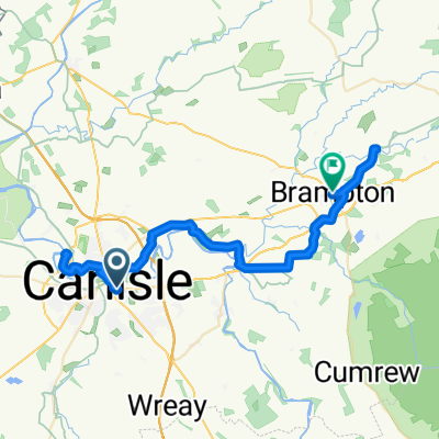
From Carlisle to Chester
- 337,6 km
- 3.597 m
- 3.599 m
- Carlisle, England, Vereinigtes Königreich
Eine Fahrradroute, die in Carlisle, England, Vereinigtes Königreich beginnt.
Übersicht
Erstellt vor 4 Jahren


Routenqualität
Straße
48,7 km
(39 %)
Ruhige Straße
43,7 km
(35 %)
Befestigt
53,7 km
(43 %)
Unbefestigt
2,5 km
(2 %)
Asphalt
52,4 km
(42 %)
Schotter
2,5 km
(2 %)
Weiter mit Bikemap
Du möchtest Day 7, 78 miles from Carlyle to Lancaster fahren oder sie für deine eigene Reise anpassen? Folgendes kannst du mit dieser Bikemap-Route machen:
Kostenlose Testversion für 3 Tage oder einmalige Zahlung. Mehr über Bikemap Premium.
Entdecke weitere Premium-Funktionen.
Bikemap Premium aktivierenVon unserer Community
In der App öffnen