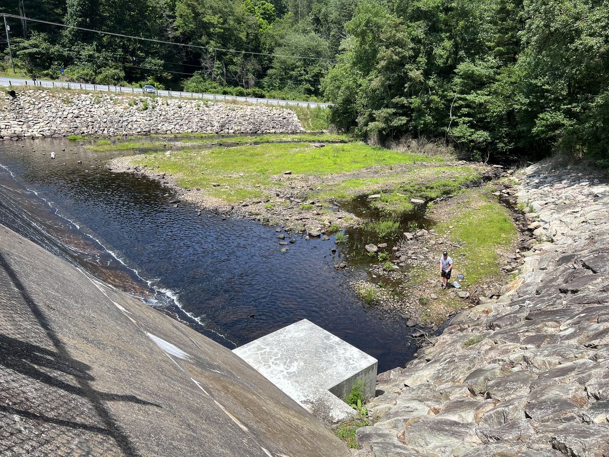
Radroute in Mount Holly Springs, Pennsylvania, USA
Michaux State Forest
2

Route in der Bikemap App öffnen

Diese Route in Bikemap Web öffnen
24
km
Distanz
Distanz
368
m
Aufstieg
Aufstieg
372
m
Abstieg
Abstieg
-:--
h
Dauer
Dauer
--
km/h
ø-Tempo
ø-Tempo
471
m
Max. Höhe
Max. Höhe


