

Kassel to Perpignan
Eine Fahrradroute, die in Kassel, Hesse, Germany beginnt.
Übersicht
Über diese Route
In June 2022 my girlfriend left me, so in mid August I left Stockholm for two months to get my mind on something else. I started with 10 days of trekking along the Alta Via 2 trail in the Dolomites, something I can highly recommend to anyone in good shape and not afraid of heights.
It is one of the best things I have ever done - spectacular trails and via ferrata in one of the most beautiful mountains on the planet. Anyway, after this I traveled through Vienna and eventually to Kassel where I left my backpack with all trekking gear at a hotel, and started biking.
I had, as usual, poured over maps over Europe to find mountains, and had realized that from Kassel there's a range of hills going south. It took me 6 days of biking to pass through the Rhön, Spessart, Odenwald and Schwarzwald mountains in Germany. The hills are not too difficult (even though the last pass over Feldberg is 1200 meters high), and the scenery is nice. Lots of small towns with hotels, restaurants and cafés. And there are lots of signs guiding you along often excellent bike lanes. I trusted Google Maps a lot, but I am more and more trying not to. Google have many times taken me to exceptional places, but I have realized it isn't because Google is competent. If you randomly send people places, sometimes they end up at excellent places.
During this part of the trip I also had some cold rain, but it is part of the deal.
Next up were the Jura mountains in Switzerland and France. They took me four days of biking. Jura is higher than the mountains I had just done in Germany, and more beautiful. It surprised me how the French part of Jura was so different from the Swiss part. In France towns with for tourists essential restaurants, hotels and cafés are hard to find. I recommend careful planning, especially off season, or you might end up somewhere a cold late afternoon with no nearby places to stay.
Eventually I could see the Alps, which is roughly when the Jura ends, and rolled down into the Rhône valley and stayed a few days in Lyon. It is a pretty cool city. Next up were the Massif Central mountains of central France, which you enter by climbing 1000 (!) meters up west from Lyon.
Up there is a huge plateau that I stayed on for six days, most of it in the mountain range called the Cévennes, which is a part of Massif Central.
Much of this is pure propaganda biking in a bewildering network of tiny asphalt roads that sometimes is hard to navigate. The views are often gorgeous. Lots of places to stay, but the first night I arrived in a tiny town with an odd name, Saint-Bonnet-le-Froid. By pure chance there was a free room at a rather fancy looking hotel, and I was also offered a table at the restaurant. I ate well and had a few beers for in total around €35, then went to bed. The day after I googled the place, and realized I had not just visited my first Guide Michelin restaurant, but also one of the only 143 in the world with 3 stars!
In Sumène Google Maps suggested a road that in these hills was suspiciously straight, and lo and behold it was as I suspected, not just a tunnel, but a 2 km long abandoned railway tunnel. I peeked inside and there was absolutely no light inside. A local guy carrying around an oxygen canister from which he had a tube straight up his nose loitered around, and I asked him if he had been through, and he said never all the way through. For a second I hesitated, then fuck yeah, walked all the way through. I could always see a tiny fleck of light at the end, but it took me half an hour to stumble through with only the light from my phone as a guiding light.
Every night I spent time looking at maps, trying to find the optimal way through the Cevennes, and something caught my eye that turned out to be the Gorges de la Vis, a long, narrow and deep canyon that it was a pleasure to roll into and climb out of.
The next day I could see the Mediterranean for the first time, 40 km away. And a bit later I could also see the Pyrenees, which was an amazing feeling.
Next was just downhill and along a road through the marshes to the Roussillon beach just outside Perpignan, where I also dipped my feet in the ocean for the next adventure.
- -:--
- Dauer
- 1.812,8 km
- Distanz
- 39.350 m
- Aufstieg
- 39.544 m
- Abstieg
- ---
- Ø-Tempo
- 1.573 m
- Ø-Tempo

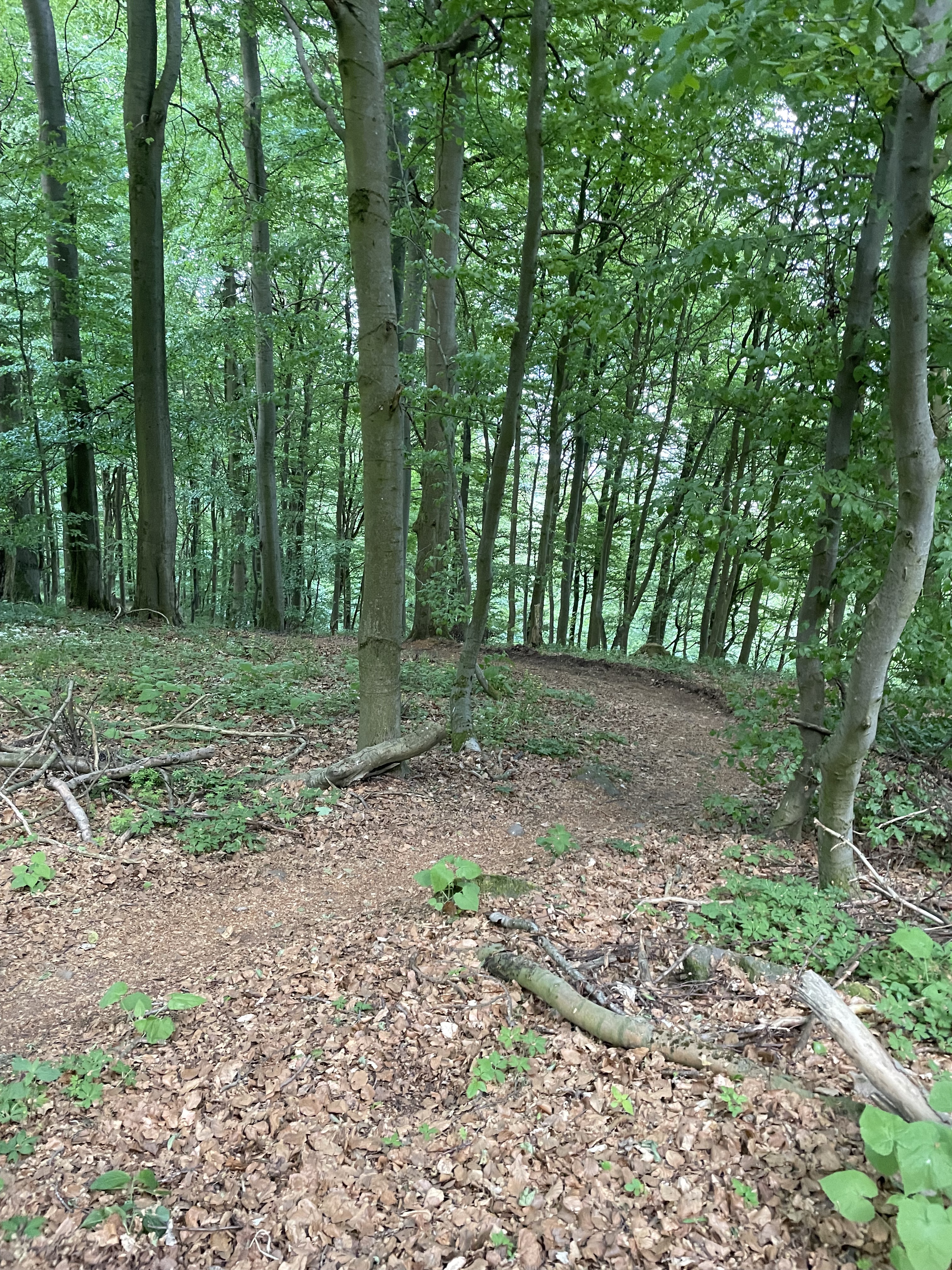
Fotos von der Route


Routenqualität
Wegtypen und Untergründe entlang der Route
Wegtypen
Vielbefahrene Straße
775,6 km
(43 %)
Straße
323,6 km
(18 %)
Untergründe
Befestigt
1.094,8 km
(60 %)
Unbefestigt
76,2 km
(4 %)
Asphalt
1.024,5 km
(57 %)
Schotter
60,4 km
(3 %)
Weiter mit Bikemap
Diese Radroute verwenden, bearbeiten oder herunterladen
Du möchtest Kassel to Perpignan fahren oder sie für deine eigene Reise anpassen? Folgendes kannst du mit dieser Bikemap-Route machen:
Gratis Funktionen
- Speichere diese Route als Favorit oder in einer Sammlung
- Kopiere & plane deine eigene Version dieser Route
- Synchronisiere deine Route mit Garmin oder Wahoo
Premium-Funktionen
Kostenlose Testversion für 3 Tage oder einmalige Zahlung. Mehr über Bikemap Premium.
- Navigiere diese Route auf iOS & Android
- Exportiere eine GPX / KML-Datei dieser Route
- Erstelle deinen individuellen Ausdruck (Jetzt kostenlos ausprobieren)
- Lade diese Route für die Offline-Navigation herunter
Entdecke weitere Premium-Funktionen.
Bikemap Premium aktivierenVon unserer Community
Kassel: Andere beliebte Routen, die hier beginnen
 Herkules-Wartburg Mädels
- Distanz
- 243,9 km
- Aufstieg
- 1.035 m
- Abstieg
- 1.035 m
- Standort
- Cassel, Hessen, Deutschland
 Hausrunde
- Distanz
- 38 km
- Aufstieg
- 339 m
- Abstieg
- 339 m
- Standort
- Cassel, Hessen, Deutschland
 JF From Kassel to Bad Emstal
- Distanz
- 40,1 km
- Aufstieg
- 462 m
- Abstieg
- 373 m
- Standort
- Cassel, Hessen, Deutschland
 Testrundgang
- Distanz
- 9,2 km
- Aufstieg
- 299 m
- Abstieg
- 111 m
- Standort
- Cassel, Hessen, Deutschland
 Theodor-Fliedner-Straße, Kassel nach Theodor-Fliedner-Straße, Kassel
- Distanz
- 19,3 km
- Aufstieg
- 522 m
- Abstieg
- 518 m
- Standort
- Cassel, Hessen, Deutschland
 1. ET Kassel-Höxter
- Distanz
- 93,9 km
- Aufstieg
- 813 m
- Abstieg
- 900 m
- Standort
- Cassel, Hessen, Deutschland
 Knickhager Berg
- Distanz
- 40,8 km
- Aufstieg
- 383 m
- Abstieg
- 358 m
- Standort
- Cassel, Hessen, Deutschland
 Kassel Hann
- Distanz
- 30 km
- Aufstieg
- 217 m
- Abstieg
- 289 m
- Standort
- Cassel, Hessen, Deutschland
In der App öffnen