

RIHLAH 1444H V5.1: KEPALA BAPAK METASPRINT
Eine Fahrradroute, die in Singapore, Central Singapore Community Development Council, Singapore beginnt.
Übersicht
Über diese Route
POI
S1: 4.8km (Holland V)
RP1: 8km (Tanglin Mall)
S2: 11.2km (Istana Park)
RP2: 15.5km (LPS)
S3/RP3: 21.0km (GBTB East)
End: 26.5km (Marine Cove)
- -:--
- Dauer
- 26,4 km
- Distanz
- 433 m
- Aufstieg
- 440 m
- Abstieg
- ---
- Ø-Tempo
- 48 m
- Ø-Tempo

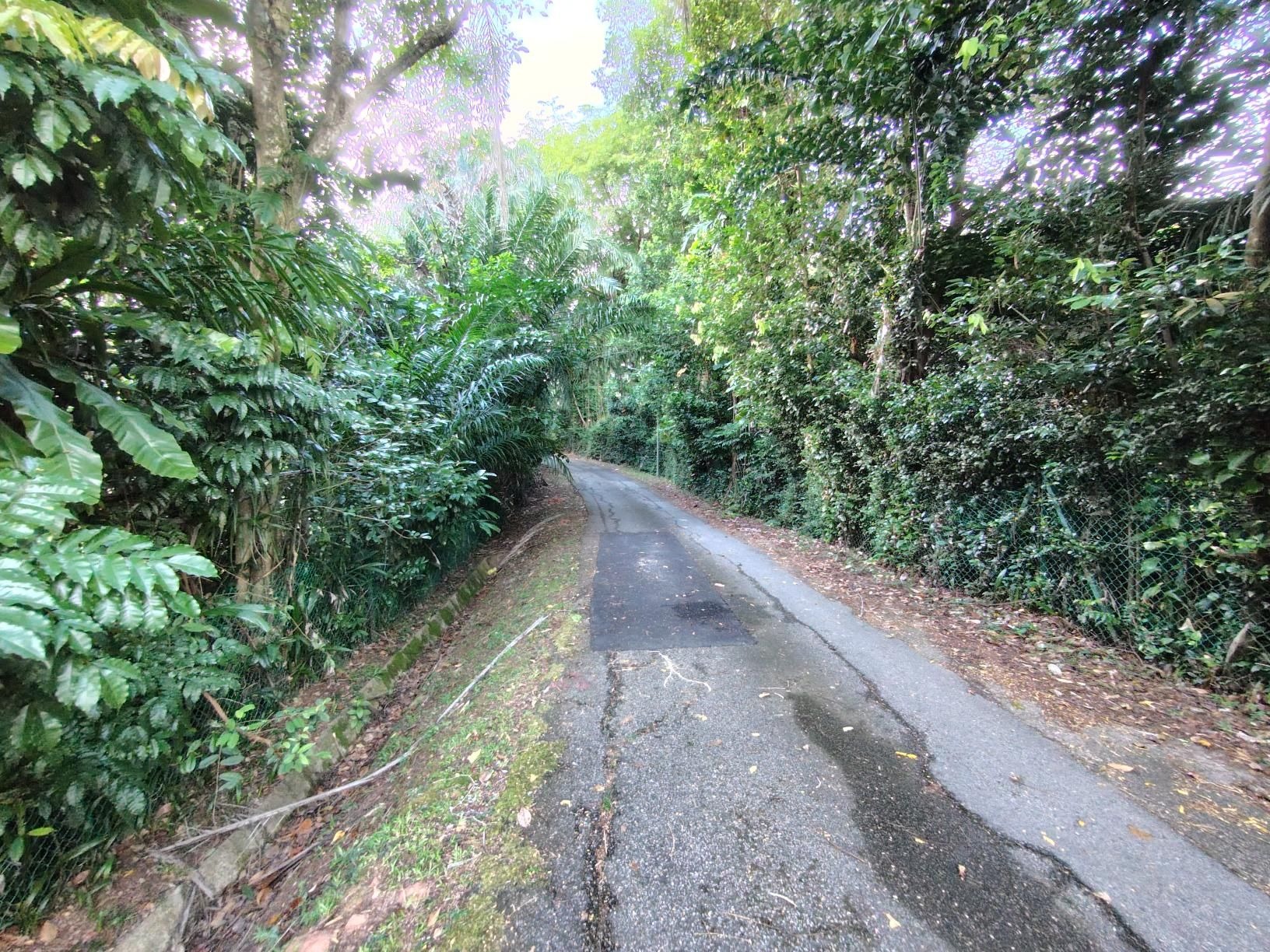
Highlights der Route
POIs entlang der Route
Interessanter Ort nach 3,4 km
Slow and dismount if needed Steep and narrow walkway To use taxi stand path
Interessanter Ort nach 4,5 km
Dismount and push Zebra crossing and narrow
Fahrrad-Service nach 4,5 km
Logs point (KIV) Shelter at HV MRT
Unterkunft nach 4,6 km
Station 1 (Holland Village)
Interessanter Ort nach 5 km
Slow and dismount if needed Sharp corners and lampposts
Interessanter Ort nach 5,2 km
To use opposite side if LTA works not done
Interessanter Ort nach 6,3 km
Careful of animals
Interessanter Ort nach 7,4 km
Use path behind bus stop
Unterkunft nach 8 km
Rest Point 1 (Tanglin Mall/Hotel JEN)
Fahrrad-Service nach 8 km
Err v hard to find logs point. To cfm again
Interessanter Ort nach 8,2 km
Dismount and push Narrow, do not go on road
Fahrrad-Service nach 11,1 km
To find logs point
Unterkunft nach 11,1 km
Station 2 (Istana Park)
Interessanter Ort nach 11,6 km
Dismount and push across zebra crossing Steep and narrow
Interessanter Ort nach 12,1 km
Dismount and push across bridge
Interessanter Ort nach 14,5 km
Fullerton Usher Point Keep right and follow the water
Interessanter Ort nach 14,6 km
Clifford Pier Dismount and Push
Fahrrad-Service nach 15,2 km
Logs point probably at the side of this road
Unterkunft nach 15,2 km
Rest Point 2 (LPS) Park at Cheers
Interessanter Ort nach 20,7 km
Dismount and push around barriers
Unterkunft nach 20,9 km
Station 3 (Kallang Wave Mall)
Unterkunft nach 20,9 km
RP3 (Bay East)
Interessanter Ort nach 22 km
Follow paved path
Interessanter Ort nach 22,8 km
This bridge sucks ASS Dismount if they want
Weiter mit Bikemap
Diese Radroute verwenden, bearbeiten oder herunterladen
Du möchtest RIHLAH 1444H V5.1: KEPALA BAPAK METASPRINT fahren oder sie für deine eigene Reise anpassen? Folgendes kannst du mit dieser Bikemap-Route machen:
Gratis Funktionen
- Speichere diese Route als Favorit oder in einer Sammlung
- Kopiere & plane deine eigene Version dieser Route
- Synchronisiere deine Route mit Garmin oder Wahoo
Premium-Funktionen
Kostenlose Testversion für 3 Tage oder einmalige Zahlung. Mehr über Bikemap Premium.
- Navigiere diese Route auf iOS & Android
- Exportiere eine GPX / KML-Datei dieser Route
- Erstelle deinen individuellen Ausdruck (Jetzt kostenlos ausprobieren)
- Lade diese Route für die Offline-Navigation herunter
Entdecke weitere Premium-Funktionen.
Bikemap Premium aktivierenVon unserer Community
Singapore: Andere beliebte Routen, die hier beginnen
 Tampines Simei Loop
- Distanz
- 14,2 km
- Aufstieg
- 94 m
- Abstieg
- 91 m
- Standort
- Singapur, Central Singapore Community Development Council, Singapur
 170C Punggol Field, Punggol to Punggol East, Punggol
- Distanz
- 86 km
- Aufstieg
- 10 m
- Abstieg
- 30 m
- Standort
- Singapur, Central Singapore Community Development Council, Singapur
 Tampines To Hyderabad/Kay Siang/Ridley Park
- Distanz
- 58,1 km
- Aufstieg
- 477 m
- Abstieg
- 477 m
- Standort
- Singapur, Central Singapore Community Development Council, Singapur
 6A Rhu Cross, Tanjong Rhu to 6A Rhu Cross, Tanjong Rhu
- Distanz
- 14,5 km
- Aufstieg
- 113 m
- Abstieg
- 143 m
- Standort
- Singapur, Central Singapore Community Development Council, Singapur
 NorthernScenicExplorer
- Distanz
- 38,8 km
- Aufstieg
- 177 m
- Abstieg
- 177 m
- Standort
- Singapur, Central Singapore Community Development Council, Singapur
 First Round Island for 2021
- Distanz
- 122,5 km
- Aufstieg
- 1.707 m
- Abstieg
- 1.705 m
- Standort
- Singapur, Central Singapore Community Development Council, Singapur
 Give it a hundred %
- Distanz
- 99,7 km
- Aufstieg
- 95 m
- Abstieg
- 87 m
- Standort
- Singapur, Central Singapore Community Development Council, Singapur
 RTI Shore Loop
- Distanz
- 132 km
- Aufstieg
- 635 m
- Abstieg
- 642 m
- Standort
- Singapur, Central Singapore Community Development Council, Singapur
In der App öffnen