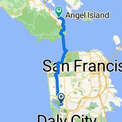
Radroute in Daly City, Kalifornien, USA
Dlay City Loop
1

Route in der Bikemap App öffnen

Diese Route in Bikemap Web öffnen
9
km
Distanz
Distanz
124
m
Aufstieg
Aufstieg
84
m
Abstieg
Abstieg
-:--
h
Dauer
Dauer
--
km/h
ø-Tempo
ø-Tempo
---
m
Max. Höhe
Max. Höhe