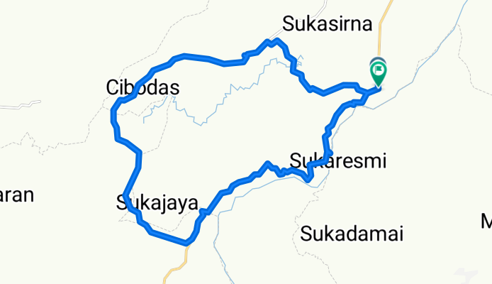
<h3 class="UIIntentionalStory_Message"><span class="UIStory_Message">Saturday, 20101016.. Its Tough!!<br /><br />Rough
Macadam Uphill, its hot but paid off by beautiful scenery, 08:30 start
from 174 mdpl @ Sukanegara, Jonggol, off-road straight forward and
climbing up to the top of Karangsaat (Pabuaran Atas) 590 mdpl where
limestone rocks cliffs standing very close at north side.<br /><br />Luckily we found b<span class="text_exposed_show">onus spot: Walet Cave at about half distance before reach Karangsaat Peak.<br /><br />From
Karangsaat, ride the spine to the south, we can see Hambalang, Gunung
Pancar in the west, and Cipamingkis valley, Gunung Batu and Gunung
Sanggabuana far in the East.<br /><br />After reach Kampung Bojong Honje and
get some stuff to fill up our empty stomach, we ride down not too far
and found Batu Tapak as our main objective, the site of
Purnnavarmman(?)- King of Tarumanegara era - his feet prints on Andesit
rock on top Pasir Awi. These feet prints still originally in place and
we can imagine how great he was standing and facing his wide territory
along Cipamingkis Valley up to Bekasi and Karawang Plain at the north.
Its amazing state of art!!<br /><br />Then just downhill still through rough
macadam, to reach the asphalt road along in west side of Cipamingkis
River. Back to Sukanegara 17:30. Get some foto @ shale outcrop at
Cipamingkis River.<br /><br />This just spontaneous trip,..arranged everything just before midnight @ previous day.<br /><br />Its Tough!!.. but its great journey.. with great team: Kang Asol, Om Arif, Om Gito and Om Haris<br /><br />Coordinates:<br />SD Sukanegara: 6°31'13.70"S, 107° 2'49.39"E, 174 mdpl <br />Gua Walet: 6°30'43.29"S, 107° 0'49.65"E, 279 mdpl<br />Batutapak: 6°33'0.20"S, 106°59'10.05"E, 531 mdpl</span></span></h3>
Diese Fahrradroute ist ideal für:
MTB
Du fährst auf folgendem Untergrund:
Asphaltiert
Unbefestigt
Schotter