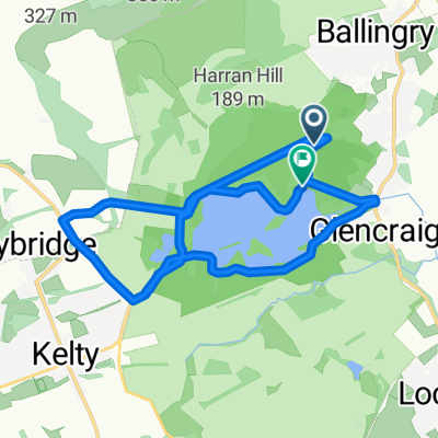
Lochore Sprint Tri - Bike leg?
- 20,5 km
- 193 m
- 194 m
- Ballingry, Schottland, Vereinigtes Königreich
Eine Fahrradroute, die in Ballingry, Schottland, Vereinigtes Königreich beginnt.
Übersicht
Über 3.500 Fuß Anstieg in weniger als 50 Meilen – nach der Tour war ich ziemlich erschöpft! Atemberaubende Landschaft fast den ganzen Weg, viele Tiere zu entdecken. Tolles Café in Falkland (Kind Kyttocks – innen etwas gediegen, aber zum Mitnehmen und auf den Parkbänken sitzen) und Geschäfte in Glenfarg, Dunning, Milnathort. Einige sehr steile Abschnitte (bei 33 und 37 Meilen) und ein paar längere (etwa drei Meilen?) Anstiege.
Erstellt vor 13 Jahren
Routenqualität
Straße
25,4 km
(33 %)
Ruhige Straße
21,5 km
(28 %)
Befestigt
33,1 km
(43 %)
Asphalt
33,1 km
(43 %)
Undefiniert
43,8 km
(57 %)
Weiter mit Bikemap
Du möchtest Around Lomond Hills and Strathearn fahren oder sie für deine eigene Reise anpassen? Folgendes kannst du mit dieser Bikemap-Route machen:
Kostenlose Testversion für 3 Tage oder einmalige Zahlung. Mehr über Bikemap Premium.
Entdecke weitere Premium-Funktionen.
Bikemap Premium aktivierenVon unserer Community
In der App öffnen