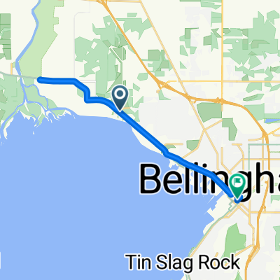
Airport Dr, Bellingham to 2858 W Maplewood Ave, Bellingham
- 33,5 km
- 393 m
- 414 m
- Marietta-Alderwood, Washington, Vereinigte Staaten
Eine Fahrradroute, die in Marietta-Alderwood, Washington, Vereinigte Staaten beginnt.
Übersicht
Insgesamt war die Fahrt weniger schmerzhaft als erwartet. Es gab viel Fahrradweg und überwiegend vernünftig zu bewältigende Höhen und Tiefen. Obwohl der letzte Abschnitt, als wir versuchten, unser AirBNB für die Nacht zu finden, uns auf einige ziemlich steile Anstiege führte, die wir unnötigerweise hochgefahren sind, wie sich herausstellte. An der Grenze setzte uns die Dame bei der Passkontrolle vor eine Reihe von Autos und sagte uns fröhlich, wir sollen uns keine Sorgen um sie machen, während sie ein wenig mit uns plauderte. Sie war anscheinend noch nicht lange an diesem Posten, da sie nicht von der RSVP-Fahrt wusste, die jeden Sommer durch diesen Lynden-Pass geht. Die Fahrt bis zur Kontrollstelle war wirklich schön, fast nur auf Straßen mit guten Radwegen oder sehr wenig Verkehr (Double Ditch Road). Der Großteil war auch etwas besser als halbwegs landschaftlich reizvoll mit viel Agrarland und einigen Bergspitzen im Hintergrund. Ab dem Kontrollpunkt gab es weitere ziemlich gute Landstraßen, bis wir in Murrayville und Langley City angekommen sind. Von dort bis zum Ende unserer Fahrt waren wir nahezu durchgehend in städtischen Gebieten. Viele Radwege (British Columbia sollte für den Umfang und größtenteils die Qualität ihres Radwegnetzes gelobt werden), die uns auf fast allen Straßen angenehm hielten. Der einzige etwas unangenehme Abschnitt war der Radweg während der wenigen Meilen, die wir auf der Fraser Highway fuhren. Während der Radweg gut war, waren sowohl er als auch die Autospuren ein bisschen schmaler als gewöhnlich, was bedeutete, dass vorbeifahrende Autos normalerweise in wenigen Fuß Entfernung an uns vorbeifuhren. Der Radweg über die Fraser River-Brücke war spektakulär. Und die Second Narrows-Brücke war ebenfalls gut. Als wir nach der Fraser River-Brücke in Vancouver selbst kamen, waren wir scheinbar ewig auf dem Lougheed Highway. Obwohl dies eine stark befahrene Straße war, war der Radweg ausgezeichnet. Nach so einer langen, warmen Fahrt hätten wir wirklich einen Ort zu schätzen gewusst, der keinen großartigen Aufstieg erforderte, um dorthin zu gelangen... insbesondere mit unseren etwas schweren Taschen. Unser North Vancouver AirBNB war jedoch im Central Lonsdale und unsere Umwege, um den Ort zu finden, führten uns fast 200 Meter weit. Ein rauer Abschluss eines großartigen Tages.
Erstellt vor 1 Jahr


Routenqualität
Straße
23,4 km
(22 %)
Radweg
14,9 km
(14 %)
Befestigt
77,7 km
(73 %)
Asphalt
70,3 km
(66 %)
Beton
6,4 km
(6 %)
Weiter mit Bikemap
Du möchtest Bellingham to Vancouver fahren oder sie für deine eigene Reise anpassen? Folgendes kannst du mit dieser Bikemap-Route machen:
Kostenlose Testversion für 3 Tage oder einmalige Zahlung. Mehr über Bikemap Premium.
Entdecke weitere Premium-Funktionen.
Bikemap Premium aktivierenVon unserer Community
In der App öffnen