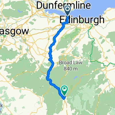
South Queensferry to Royal Dunkeld Hotel
- 78,7 km
- 519 m
- 519 m
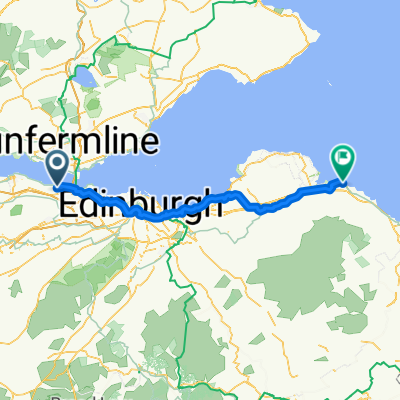
- Queensferry, Schottland, Vereinigtes Königreich
Eine Fahrradroute, die in Queensferry, Schottland, Vereinigtes Königreich beginnt.
Übersicht
Wenn Sie die Straßenbrücke überqueren, die Hunderte von Metern über dem Firth auf einem speziellen Rad-/Wanderweg verläuft, führt der Weg hinunter nach North Queensferry, wo er direkt unter der berühmten Eisenbahnbrücke dem Fife Coastal Path beitritt. Dieser Pfad schlängelt sich an der Küste entlang, die von großen Magmafelsen dominiert wird, Erinnerungen an Schottlands vulkanische Vergangenheit, bis nach Dalgety Bay. Großartige Aussichten zurück auf die berühmten Forth-Brücken.
Wenn Sie dem beschilderten Fife Coastal Path und der National Bike Route folgen, führt der Weg entlang ruhiger Straßen und Waldwege, und die berühmte Insel Inchcolm wird sichtbar. Dann vorbei an der Kirche St Bridget’s, hinein ins hübsche Fischerdorf Aberdour, das von seinem Schloss dominiert wird, und hinunter zum Hafen. Dann entlang des Fife Coastal Path vorbei an Buchten und durch Waldstreifen bis zur geschäftigen Stadt Burnt Island. Flach und leicht zu gehen. Viele Geschäfte und Kneipen sowie Informationsschilder entlang des Weges.
Dies ist der 2. Abschnitt von St Margarets Way, dem großen 100 km langen Pilgerweg von Edinburgh nach St Andrews, Teil der Wiederbelebung der 1000 Jahre alten Pilgerfahrt, The Way of St Andrews. (http://www.thewayofstandrews.com)
Erstellt vor 14 Jahren
Highlights der Route

Many million years ago this was a region of active volcanoes. Here is where, deep down, a flow of molten rock (light grey) was squeezed between layers of sandstone. Called a sill, the molten rock contains bits of sandstone which it plucked up as it flowed. Thanks to geoHeritage Fife for advice and image.
Weiter mit Bikemap
Du möchtest St Margarets Way-South Queensferry to Burntisland fahren oder sie für deine eigene Reise anpassen? Folgendes kannst du mit dieser Bikemap-Route machen:
Kostenlose Testversion für 3 Tage oder einmalige Zahlung. Mehr über Bikemap Premium.
Entdecke weitere Premium-Funktionen.
Bikemap Premium aktivierenVon unserer Community
In der App öffnen