

Austin - Circuit to Manor
Eine Fahrradroute, die in Rollingwood, Texas, Vereinigte Staaten beginnt.
Übersicht
Über diese Route
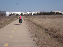
Der Großteil dieser Fahrt (wahrscheinlich über 90 %) fand auf Straßen mit großartigen Radwegen und überwiegend abgeschiedenen Radwegen statt. Dies war daher eine sehr sichere Route für diejenigen, die so viel wie möglich von den Straßen fernbleiben wollen.
Dieser Austin nach Manor Trail, der den Southern Walnut Creek Trail umfasst, war einfach ausgezeichnet. Das war das erste Mal, dass ich diesen Weg gefahren bin; ich war sehr beeindruckt von seiner insgesamt hervorragenden Qualität.
- 3 h 57 min
- Dauer
- 71,7 km
- Distanz
- 409 m
- Aufstieg
- 413 m
- Abstieg
- 18,2 km/h
- Ø-Tempo
- 196 m
- Max. Höhe

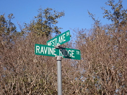
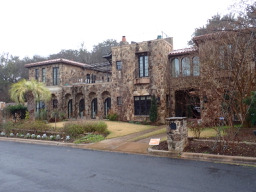
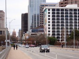
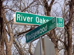
Fotos von der Route


Weiter mit Bikemap
Diese Radroute verwenden, bearbeiten oder herunterladen
Du möchtest Austin - Circuit to Manor fahren oder sie für deine eigene Reise anpassen? Folgendes kannst du mit dieser Bikemap-Route machen:
Gratis Funktionen
- Speichere diese Route als Favorit oder in einer Sammlung
- Kopiere & plane deine eigene Version dieser Route
- Synchronisiere deine Route mit Garmin oder Wahoo
Premium-Funktionen
Kostenlose Testversion für 3 Tage oder einmalige Zahlung. Mehr über Bikemap Premium.
- Navigiere diese Route auf iOS & Android
- Exportiere eine GPX / KML-Datei dieser Route
- Erstelle deinen individuellen Ausdruck (Jetzt kostenlos ausprobieren)
- Lade diese Route für die Offline-Navigation herunter
Entdecke weitere Premium-Funktionen.
Bikemap Premium aktivierenVon unserer Community
Rollingwood: Andere beliebte Routen, die hier beginnen
 Austin - Circle to Bee Cave
- Distanz
- 44,6 km
- Aufstieg
- 562 m
- Abstieg
- 564 m
- Standort
- Rollingwood, Texas, Vereinigte Staaten
 Austin - Circle to Steiner Ranch
- Distanz
- 56,1 km
- Aufstieg
- 757 m
- Abstieg
- 758 m
- Standort
- Rollingwood, Texas, Vereinigte Staaten
 Austin - Circle to Northeast
- Distanz
- 36,4 km
- Aufstieg
- 270 m
- Abstieg
- 276 m
- Standort
- Rollingwood, Texas, Vereinigte Staaten
 Austin - Random Riding in Neighborhood North of MUNY Golf Course
- Distanz
- 18,7 km
- Aufstieg
- 290 m
- Abstieg
- 290 m
- Standort
- Rollingwood, Texas, Vereinigte Staaten
 Austin - Circle to McKinney Falls State Park
- Distanz
- 40,3 km
- Aufstieg
- 360 m
- Abstieg
- 355 m
- Standort
- Rollingwood, Texas, Vereinigte Staaten
 Austin - Circle to MT Supermarket and Walnut Creek
- Distanz
- 49,2 km
- Aufstieg
- 414 m
- Abstieg
- 413 m
- Standort
- Rollingwood, Texas, Vereinigte Staaten
 Buda loop - 37 mi
- Distanz
- 60,2 km
- Aufstieg
- 212 m
- Abstieg
- 213 m
- Standort
- Rollingwood, Texas, Vereinigte Staaten
 Austin to Giddings
- Distanz
- 113,7 km
- Aufstieg
- 492 m
- Abstieg
- 529 m
- Standort
- Rollingwood, Texas, Vereinigte Staaten
In der App öffnen