

Lake Austin
- 18,2 km
- 169 m
- 168 m
- Rollingwood, Texas, Vereinigte Staaten
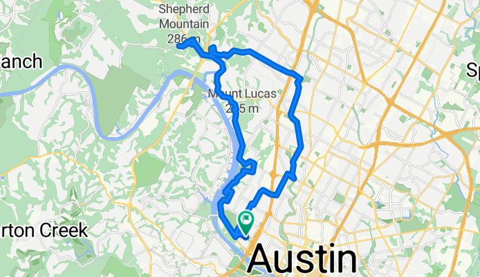
Das war eine interessante Fahrt, hauptsächlich durch verschiedene Wohngebiete. Es gab einige ziemlich steile Anstiege und Abfahrten.
Vielleicht zwei oder drei Meilen waren auf der FM2222. Diese Straße hatte mäßigen Verkehr und wenig bis keinen Seitenstreifen, bis man die North Capital of Texas Highway (360) erreichte. Westlich von 360 gab es einen schönen breiten Seitenstreifen.
Die City Park Road hatte auf der bergauf gelegenen Seite einen Fahrradstreifen, so lange ich darauf unterwegs war. Dieser Abschnitt war ziemlich steil. Obwohl ich bis zum Ende dieser Straße fahren wollte, die sich meines Wissens im Emma Long Metropolitan Park befindet, musste ich aufgrund von Zeitbeschränkungen bei meiner Fahrt an der Stelle umkehren, an der ich es tat.
Der Far West Blvd war anfangs ziemlich steil, hatte aber auf diesem Abschnitt einen ausgezeichneten Fahrradstreifen. Außerdem gab es auf diesem Straßenabschnitt fast keinen Verkehr. Nach dem Passieren östlich der Mesa Drive gibt es mehr Verkehr, aber einen exzellenten Fahrradstreifen beziehungsweise eine Rechtsabbiegerspur, in der man fahren kann.
Der Shoal Creek Blvd verfügt über ausgezeichnete Fahrradstreifen.


Straße
17,9 km53 %Ruhige Straße
6,8 km20 %Befestigt
29,7 km(88 %)Asphalt
28,4 km84 %Beton
1,4 km4 %Undefiniert
4,1 km12 %Kostenlose Testversion für 3 Tage oder einmalige Zahlung. Mehr über Bikemap Premium.
Entdecke weitere Premium-Funktionen.
Bikemap Premium aktivierenIn der App öffnen


