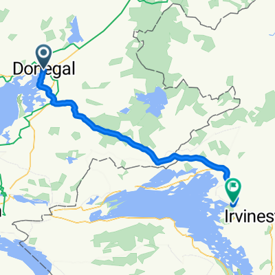
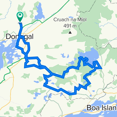
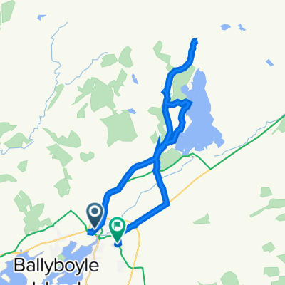
Radroute in Donegal, Provinz Ulster, Irland
Intermediate Sunday 3rd June 2012
0

Route in der Bikemap App öffnen

Diese Route in Bikemap Web öffnen
77
km
Distanz
Distanz
411
m
Aufstieg
Aufstieg
409
m
Abstieg
Abstieg
-:--
h
Dauer
Dauer
--
km/h
ø-Tempo
ø-Tempo
---
m
Max. Höhe
Max. Höhe