Via Transilvanica, Section 2: Highlands (official)
Eine Fahrradroute, die in Dorna Cândrenilor, Kreis Suceava, Rumänien beginnt.
Übersicht
Über diese Route
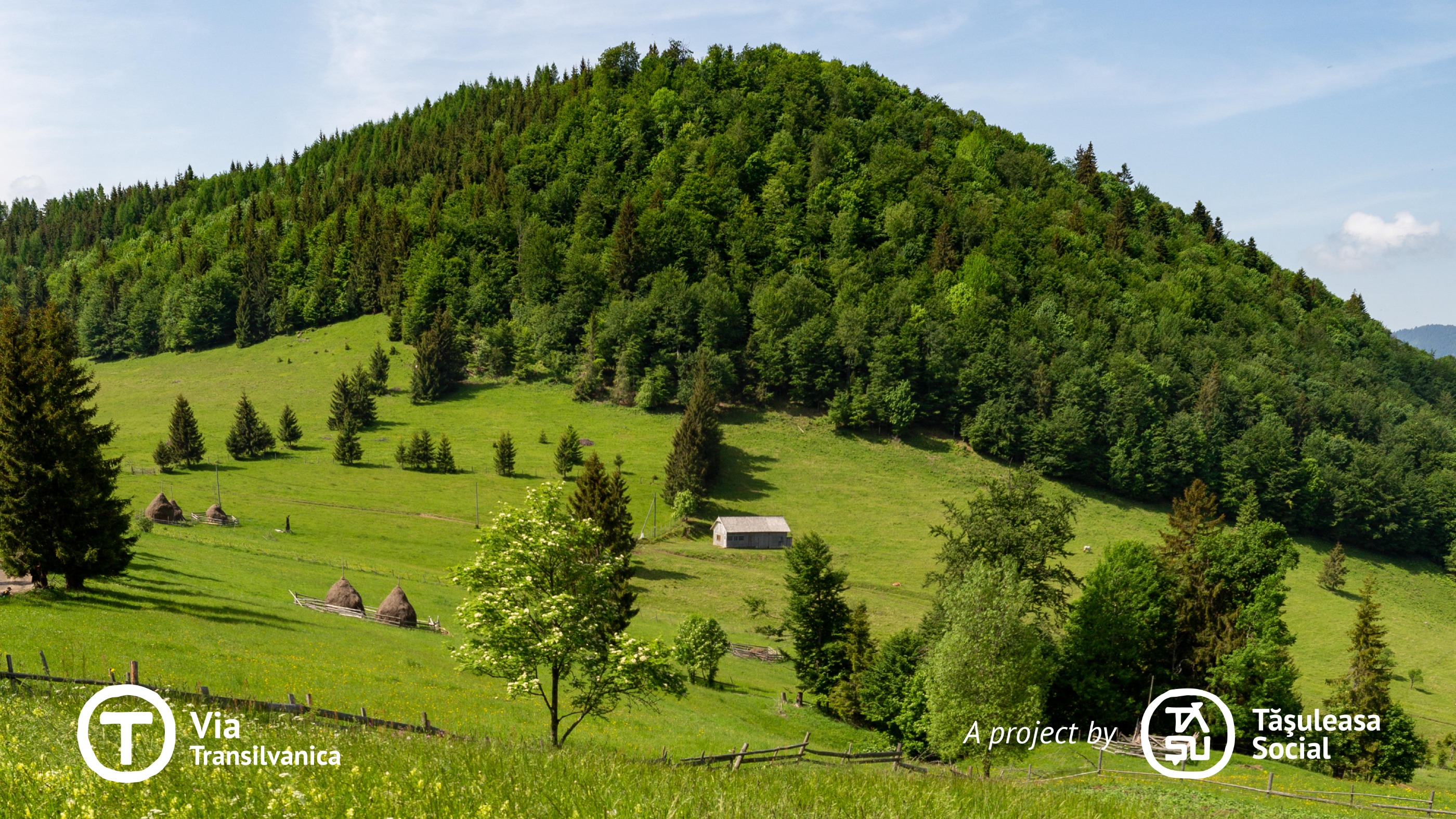
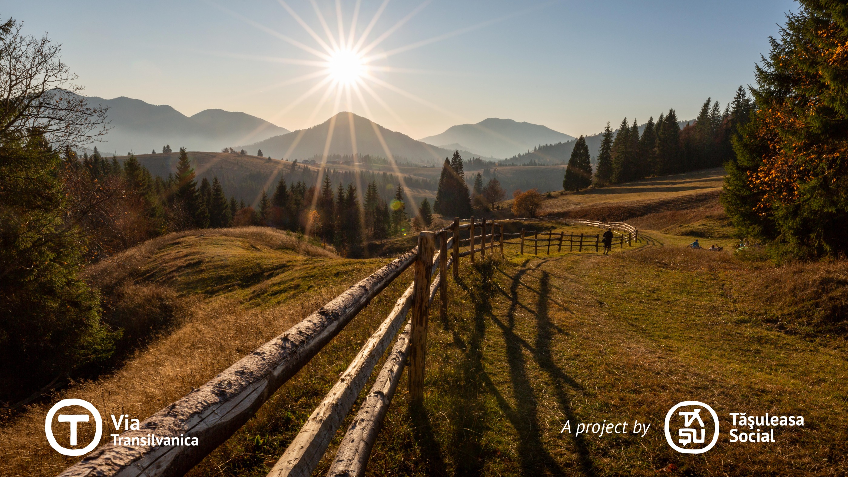
Auf diesem Abschnitt des Via Transilvanica (VT) führt der Weg durch Gebirge und zeigt, wie die Härte der Landschaft die Menschen gelehrt hat, sich sowohl an die Natur als auch an die Zeit anzupassen. Während er durch vielfältiges Gelände verläuft – von Gebirgsregionen über Tieflandwälder, sanfte Hügel bis hin zu weitläufigen Feldern – lädt dieser Abschnitt zur Erkundung seiner natürlichen Schönheit und bemerkenswerten Sehenswürdigkeiten ein. Außerdem verleiht das reiche kulturelle Erbe, das über Jahrhunderte durch eine bedeutende ethnische Vielfalt geprägt wurde, ihm eine einzigartige und besondere Aura.
- -:--
- Dauer
- 232,3 km
- Distanz
- 5.900 m
- Aufstieg
- 6.169 m
- Abstieg
- ---
- Ø-Tempo
- 1.192 m
- Max. Höhe
Fotos von der Route
Weiter mit Bikemap
Diese Radroute verwenden, bearbeiten oder herunterladen
Du möchtest Via Transilvanica, Section 2: Highlands (official) fahren oder sie für deine eigene Reise anpassen? Folgendes kannst du mit dieser Bikemap-Route machen:
Gratis Funktionen
- Speichere diese Route als Favorit oder in einer Sammlung
- Kopiere & plane deine eigene Version dieser Route
- Teile sie in Etappen ein, um eine mehrtägige Tour zu erstellen
- Synchronisiere deine Route mit Garmin oder Wahoo
Premium-Funktionen
Kostenlose Testversion für 3 Tage oder einmalige Zahlung. Mehr über Bikemap Premium.
- Navigiere diese Route auf iOS & Android
- Exportiere eine GPX / KML-Datei dieser Route
- Erstelle deinen individuellen Ausdruck (Jetzt kostenlos ausprobieren)
- Lade diese Route für die Offline-Navigation herunter
Entdecke weitere Premium-Funktionen.
Bikemap Premium aktivierenVon unserer Community
Dorna Cândrenilor: Andere beliebte Routen, die hier beginnen
 Via Transilvanica - Ținutul de Sus
- Distanz
- 226,9 km
- Aufstieg
- ---
- Abstieg
- ---
- Standort
- Dorna Cândrenilor, Kreis Suceava, Rumänien
 traseu1
- Distanz
- 18,2 km
- Aufstieg
- 586 m
- Abstieg
- 577 m
- Standort
- Dorna Cândrenilor, Kreis Suceava, Rumänien
 Calimani
- Distanz
- 56,2 km
- Aufstieg
- 1.265 m
- Abstieg
- 1.264 m
- Standort
- Dorna Cândrenilor, Kreis Suceava, Rumänien
 Tura Rarau
- Distanz
- 111,2 km
- Aufstieg
- 1.313 m
- Abstieg
- 1.327 m
- Standort
- Dorna Cândrenilor, Kreis Suceava, Rumänien
 VT - Ziua 4 - Poiana Negrii - Lunca Ilvei - Tasuleasa Social
- Distanz
- 45 km
- Aufstieg
- 1.257 m
- Abstieg
- 1.123 m
- Standort
- Dorna Cândrenilor, Kreis Suceava, Rumänien
 Dorna - Borsa
- Distanz
- 96,4 km
- Aufstieg
- 671 m
- Abstieg
- 822 m
- Standort
- Dorna Cândrenilor, Kreis Suceava, Rumänien
 candreni
- Distanz
- 13,9 km
- Aufstieg
- 388 m
- Abstieg
- 393 m
- Standort
- Dorna Cândrenilor, Kreis Suceava, Rumänien
 Tataru - Batca Rosie
- Distanz
- 59,1 km
- Aufstieg
- 426 m
- Abstieg
- 453 m
- Standort
- Dorna Cândrenilor, Kreis Suceava, Rumänien
In der App öffnen


