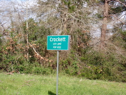
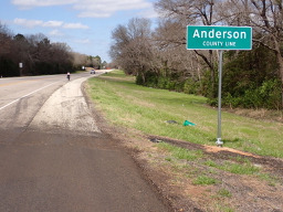
Crockett to Palestine
Eine Fahrradroute, die in Crockett, Texas, Vereinigte Staaten beginnt.
Übersicht
Über diese Route
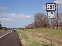
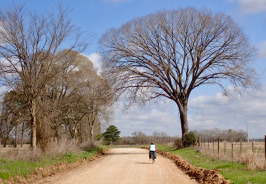
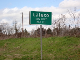
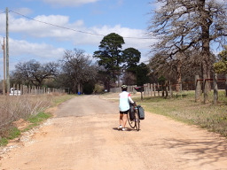
Nachdem wir den nördlichen Teil des Autobahnringes um Crockett passiert hatten, waren wir bald auf einer Landstraße mit einem temporären Schild, das "Rauhe Straße" sagte. Sie hatten nicht Unrecht, denn nach kurzer Zeit verloren wir den Asphalt und hatten eine unbefestigte Straße für eine Weile. Als wir in Latexo ankamen, überquerten wir die U.S. 287/Texas 19 auf eine Landstraße ... die sich wirklich als lokal herausstellte. Sie war oft unbefestigt mit einem sandigen Untergrund, durch den wir die Fahrräder schieben mussten. Das ging einige Meilen so, bis wir nahe Grapeland waren, als der Asphalt wieder erschien. Da wir uns unsicher fühlten, entschieden wir uns gegen die ursprünglich geplanten Landstraßen, die uns nach Elkhart und Palestine gebracht hätten, und nahmen stattdessen die U.S. 287/Texas 19. Laut, aber größtenteils mit einem guten Straßenrand, um darauf zu fahren.
Aufgrund der sandigen Straßenverhältnisse war diese Route nicht gut für ein Straßenrad. Sie sollten stattdessen die U.S. 287/Texas 19 und nicht die kleinen Landstraßen nutzen.
- 5 h 20 min
- Dauer
- 63,1 km
- Distanz
- 512 m
- Aufstieg
- 456 m
- Abstieg
- 11,8 km/h
- Ø-Tempo
- 177 m
- Max. Höhe
Fotos von der Route
Weiter mit Bikemap
Diese Radroute verwenden, bearbeiten oder herunterladen
Du möchtest Crockett to Palestine fahren oder sie für deine eigene Reise anpassen? Folgendes kannst du mit dieser Bikemap-Route machen:
Gratis Funktionen
- Speichere diese Route als Favorit oder in einer Sammlung
- Kopiere & plane deine eigene Version dieser Route
- Synchronisiere deine Route mit Garmin oder Wahoo
Premium-Funktionen
Kostenlose Testversion für 3 Tage oder einmalige Zahlung. Mehr über Bikemap Premium.
- Navigiere diese Route auf iOS & Android
- Exportiere eine GPX / KML-Datei dieser Route
- Erstelle deinen individuellen Ausdruck (Jetzt kostenlos ausprobieren)
- Lade diese Route für die Offline-Navigation herunter
Entdecke weitere Premium-Funktionen.
Bikemap Premium aktivierenVon unserer Community
Crockett: Andere beliebte Routen, die hier beginnen
 Crockett to Palestine
- Distanz
- 63,1 km
- Aufstieg
- 512 m
- Abstieg
- 456 m
- Standort
- Crockett, Texas, Vereinigte Staaten
 Crockett, TX - Buffalo, TX
- Distanz
- 80,3 km
- Aufstieg
- 293 m
- Abstieg
- 281 m
- Standort
- Crockett, Texas, Vereinigte Staaten
In der App öffnen


