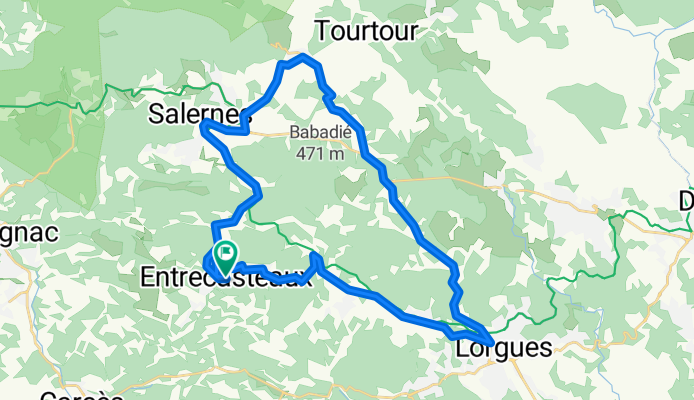
Radroute in Salernes, Provence-Alpes-Côte d’Azur, Frankreich
Climb these hills
0

Route in der Bikemap App öffnen
Diese Route in Bikemap Web öffnen
39
km
Distanz
Distanz
425
m
Aufstieg
Aufstieg
425
m
Abstieg
Abstieg
-:--
h
Dauer
Dauer
--
km/h
ø-Tempo
ø-Tempo
---
m
Max. Höhe
Max. Höhe


