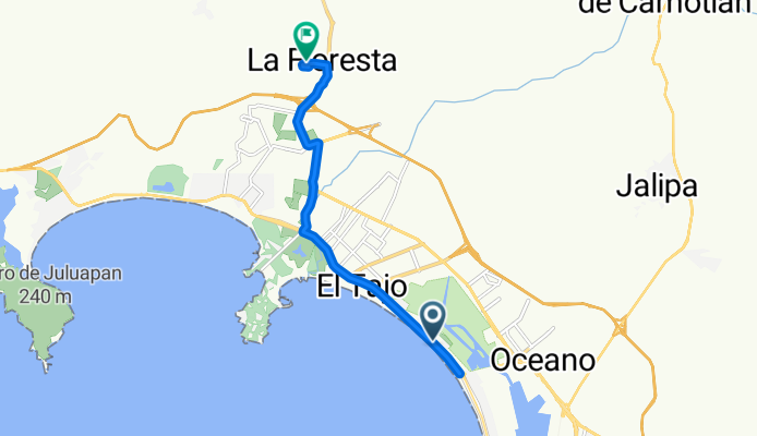
Ruta a Calle Iris
Eine Fahrradroute, die in Manzanillo, Colima, Mexiko beginnt.
Übersicht
Über diese Route
- 1 h 52 min
- Dauer
- 13 km
- Distanz
- 161 m
- Aufstieg
- 127 m
- Abstieg
- 7 km/h
- Ø-Tempo
- 42 m
- Max. Höhe
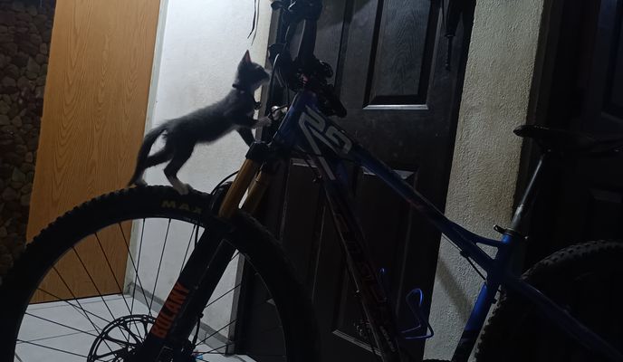
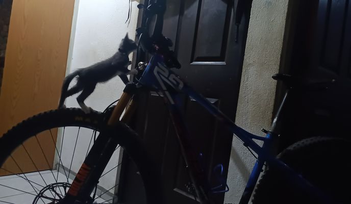
Fotos von der Route
Weiter mit Bikemap
Diese Radroute verwenden, bearbeiten oder herunterladen
Du möchtest Ruta a Calle Iris fahren oder sie für deine eigene Reise anpassen? Folgendes kannst du mit dieser Bikemap-Route machen:
Gratis Funktionen
- Speichere diese Route als Favorit oder in einer Sammlung
- Kopiere & plane deine eigene Version dieser Route
- Synchronisiere deine Route mit Garmin oder Wahoo
Premium-Funktionen
Kostenlose Testversion für 3 Tage oder einmalige Zahlung. Mehr über Bikemap Premium.
- Navigiere diese Route auf iOS & Android
- Exportiere eine GPX / KML-Datei dieser Route
- Erstelle deinen individuellen Ausdruck (Jetzt kostenlos ausprobieren)
- Lade diese Route für die Offline-Navigation herunter
Entdecke weitere Premium-Funktionen.
Bikemap Premium aktivierenVon unserer Community
Manzanillo: Andere beliebte Routen, die hier beginnen
 De Veracruz 11, Manzanillo a Veracruz 8, Manzanillo
- Distanz
- 8,8 km
- Aufstieg
- 54 m
- Abstieg
- 54 m
- Standort
- Manzanillo, Colima, Mexiko
 De Orquídea a Calle Iris
- Distanz
- 19 km
- Aufstieg
- 189 m
- Abstieg
- 158 m
- Standort
- Manzanillo, Colima, Mexiko
 De Boulevard Los Almendros a Calle Iris
- Distanz
- 48,8 km
- Aufstieg
- 530 m
- Abstieg
- 505 m
- Standort
- Manzanillo, Colima, Mexiko
 Ruta a Calle Iris
- Distanz
- 13 km
- Aufstieg
- 161 m
- Abstieg
- 127 m
- Standort
- Manzanillo, Colima, Mexiko
 De Paseo de las Garzas, Manzanillo a Paseo de las Garzas, Manzanillo
- Distanz
- 8 km
- Aufstieg
- 41 m
- Abstieg
- 43 m
- Standort
- Manzanillo, Colima, Mexiko
 De Manzanillo a Avenida Elías Zamora 6035, Manzanillo
- Distanz
- 39 km
- Aufstieg
- 760 m
- Abstieg
- 751 m
- Standort
- Manzanillo, Colima, Mexiko
 De Avenida Paseo de las Garzas 1560, Manzanillo a 4M7Q+2G, Manzanillo
- Distanz
- 22,5 km
- Aufstieg
- 110 m
- Abstieg
- 90 m
- Standort
- Manzanillo, Colima, Mexiko
 Stage 4 Oleh Group Trip 2016
- Distanz
- 130,6 km
- Aufstieg
- 1.388 m
- Abstieg
- 918 m
- Standort
- Manzanillo, Colima, Mexiko
In der App öffnen

