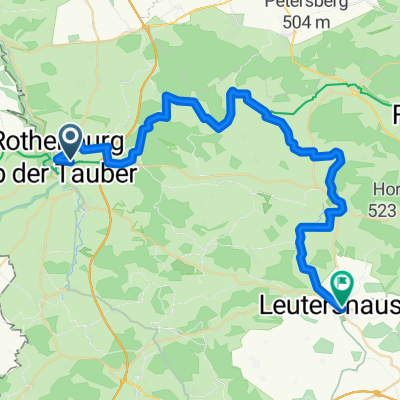

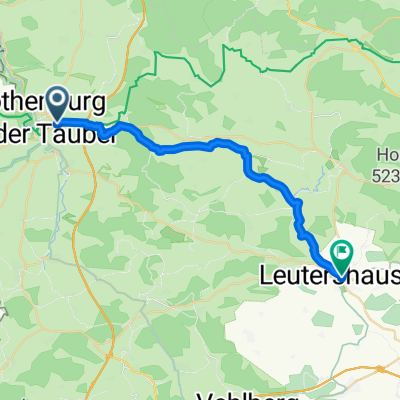
Rothenburg ob der Tauber nach Leutershausen
- 23,3 km
- 214 m
- 211 m
- Rothenburg ob der Tauber, Bayern, Deutschland
Eine Fahrradroute, die in Rothenburg ob der Tauber, Bayern, Deutschland beginnt.
Übersicht
Mehr über den Tauber-Altmühl-Radweg:
https://www.cyclingthread.com/franconia-and-tauber-altmuhl-radweg-perfect-german-getaway
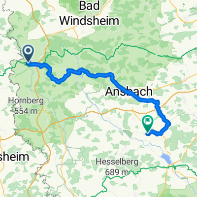
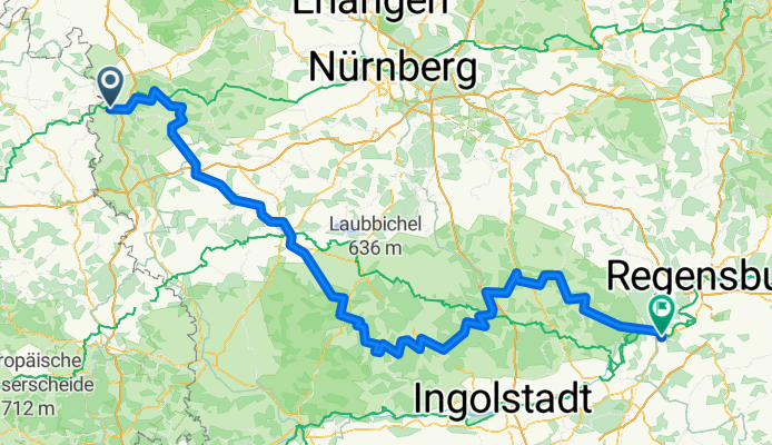
Der Tauber-Altmühl-Radweg in Franken zählt zu den faszinierendsten Radwegen Deutschlands. Er verläuft durch die Täler von Tauber und Altmühl sowie durch die felsige Landschaft der Fränkischen Alb. Seine romantische Atmosphäre wird durch mittelalterliche Orte verstärkt; besonders hervorzuheben ist Rothenburg ob der Tauber als eine der Hauptattraktionen des Landes. Die Route beginnt in Wertheim, führt über Rothenburg und überquert danach die europäische Hauptwasserscheide, bevor sie der Altmühl bis nach Kelheim folgt, wo der Fluss in die Donau mündet. Der Tauber-Abschnitt ist etwa 100 km lang, die Altmühlstrecke umfasst rund 250 km und bietet somit abwechslungsreiche Erlebnisse. Die Oberflächen reichen von glattem Asphalt bis zu Schotterwegen, die gut in die Jura-Landschaft passen, auch wenn sie weniger komfortabel sind. Unterwegs können Radfahrer geologische Formationen wie den Burgstein, historische Brücken in Ornbau und das Jura-Museum auf der Willibaldsburg in Eichstätt besichtigen. Insgesamt verbindet die Strecke Landschaft, Geschichte und gute Infrastruktur und ist damit eine ausgezeichnete Wahl für ein langes Wochenende oder einen längeren Fahrradurlaub in Franken.
Erstellt vor 4 Monaten


Weiter mit Bikemap
Du möchtest Tauber-Altmühl Cycle Route - Rothenburg ob der Tauber to Kelheim fahren oder sie für deine eigene Reise anpassen? Folgendes kannst du mit dieser Bikemap-Route machen:
Kostenlose Testversion für 3 Tage oder einmalige Zahlung. Mehr über Bikemap Premium.
Entdecke weitere Premium-Funktionen.
Bikemap Premium aktivierenVon unserer Community
In der App öffnen