predazzo - ZORTEA 1 - cavalese 2 SOFT
- 135,5 km
- 5.676 m
- 5.761 m
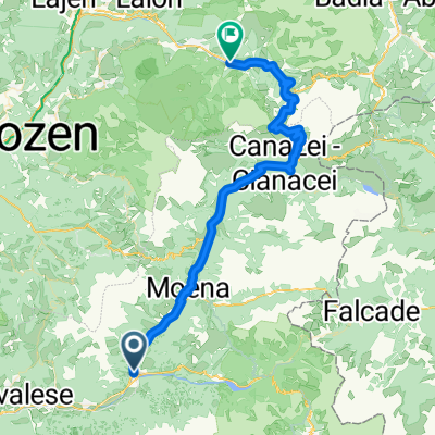
- Predazzo, Trentino-Südtirol, Italien
Eine Fahrradroute, die in Predazzo, Trentino-Südtirol, Italien beginnt.
Übersicht
Description Starting in Predazzo, reach the Feudo pass with the Latemar 2200 lifts (open from Mid-June to Mid-September). From here, an exciting descent, alternating paved and unpaved terrains, heads to Stava. Keep riding on an up-and-down dirt road to a clearing with an amazing view on the Lagorai mountain chain, to the town limits of Varena. The trail descends softly towards Cavalese first and Masi di Cavalese then, where the cycle route takes you back to the starting point. Transport of bicycles on cablecar + chairlift € 6,00. Route that enhances lesser known places in Val di Fiemme such as Val di Stava and the pastures near Varena. The lifts lead to the panoramic starting point, at an altitude of 2121 meters.
Erstellt vor 5 Monaten


Routenqualität
Forst- / Feldweg
14,8 km
39 %
Ruhige Straße
8 km
21 %
Befestigt
20,1 km
(53 %)
Unbefestigt
8 km
(21 %)
Asphalt
19,7 km
52 %
Schotter
5,7 km
15 %
Weiter mit Bikemap
Du möchtest Val di Stava and Guagiola - Tour 928 fahren oder sie für deine eigene Reise anpassen? Folgendes kannst du mit dieser Bikemap-Route machen:
Kostenlose Testversion für 3 Tage oder einmalige Zahlung. Mehr über Bikemap Premium.
Entdecke weitere Premium-Funktionen.
Bikemap Premium aktivierenVon unserer Community
In der App öffnen