Rudkøbing Camping - Camping Katharinenhof/Fehmarn
- 117 km
- 44 m
- 30 m
- Rudkøbing, Region Süddänemark, Dänemark
Welcome to the route
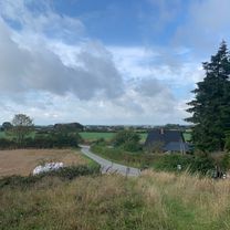
Welcome to stage 5 of The Castle Route – part of a 14-stage cycling journey across Funen. This peaceful stage takes you across Langeland from the charming market town of Rudkøbing to the cosy harbour town of Lohals, with nature and coastline never far away.
• • •
Rudkøbing – History & charm
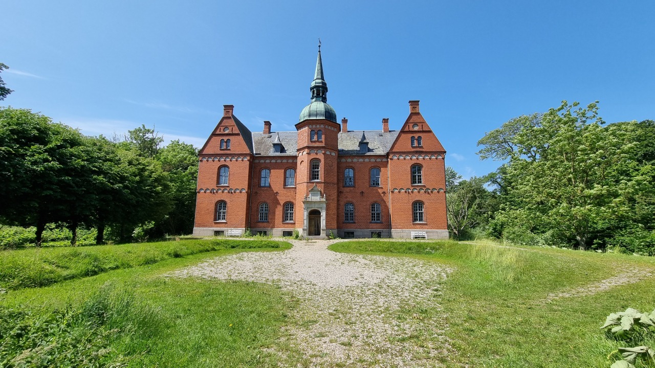
Your journey begins in Rudkøbing, one of Denmark’s most charming market towns. Wander through cobbled streets, past old merchant houses and small shops, or visit Langelands Museum and the historic windmill overlooking the town.
• • •
Nature & experiences
As you leave town, the route unfolds through open landscapes and quiet roads. For a special experience, you can swap your bike for a horse at Turridning Langeland and explore the area from a different perspective.
Along the way, you’ll also find unique stays such as Tiki Camp, offering a touch of comfort in scenic surroundings.
• • •
Beaches & coastline
The route follows Langeland’s gentle coastline, where inviting beaches are never far away. Stop at Emmerbølle Beach, known for its fine sand and calm, shallow waters – perfect for a refreshing swim.
• • •
Lohals & the harbour
Your stage ends in Lohals, a small harbour town with a rich maritime history. Once a lively ferry hub, today it’s a popular marina with modern facilities, shelters – even floating ones – and a relaxed atmosphere.
Enjoy the harbour area with its bathing spots, playground, cafés, and views over the South Funen Archipelago – a perfect place to unwind after the ride.
\"")
\"")
\"")
\"")
\"")
\"")
Ruhige Straße
29,5 km83 %Pfad
2,5 km7 %Befestigt
27 km(76 %)Unbefestigt
2,8 km(8 %)Asphalt
27 km76 %Unbefestigt (undefiniert)
1,4 km4 %Kostenlose Testversion für 3 Tage oder einmalige Zahlung. Mehr über Bikemap Premium.
Entdecke weitere Premium-Funktionen.
Bikemap Premium aktivierenIn der App öffnen