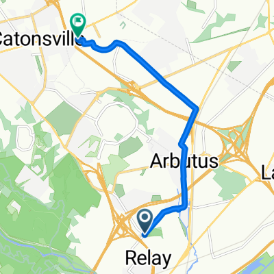
UMBC-Patapsco-Ellicott City-Oella- Catonsville
- 37,5 km
- 524 m
- 492 m
- Arbutus, Maryland, Vereinigte Staaten
Eine Fahrradroute, die in Arbutus, Maryland, Vereinigte Staaten beginnt.
Übersicht
Ein paar Mal in und aus dem Patapsco Valley. Für einige Hügel-Workouts. 2 Anstiege und ein paar Meilen gespart, indem ich im Patapsco State Park geblieben bin und dem Fluss nach Ellicott City/Oella gefolgt bin.
Erstellt vor 16 Jahren
Routenqualität
Straße
19,9 km
(53 %)
Ruhige Straße
10,1 km
(27 %)
Befestigt
10,9 km
(29 %)
Asphalt
10,5 km
(28 %)
Beton
0,4 km
(1 %)
Undefiniert
26,6 km
(71 %)
Highlights der Route
Left at Selford/Sulphur Spring Rds
Option-In Patapsco St Park, stay on north/east side of river, on path through park to end. Bridge over river.Right on Ilchester/River Rd. Again follow river. To Ellicott City. Flat. Eliminates 2 climbs and several miles.
Water
Ellicott City Food/Shops
Drinks, Coffee
Coffee/Gelato
Catonsville Restaurants
Weiter mit Bikemap
Du möchtest UMBC-Patapsco-Ellicott City-Oella- Catonsville fahren oder sie für deine eigene Reise anpassen? Folgendes kannst du mit dieser Bikemap-Route machen:
Kostenlose Testversion für 3 Tage oder einmalige Zahlung. Mehr über Bikemap Premium.
Entdecke weitere Premium-Funktionen.
Bikemap Premium aktivierenVon unserer Community
In der App öffnen