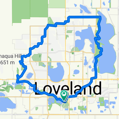
Loveland loop
- 40,6 km
- 98 m
- 98 m
- Loveland, Colorado, Vereinigte Staaten
Eine Fahrradroute, die in Loveland, Colorado, Vereinigte Staaten beginnt.
Übersicht
Eine solide 75-Meilen-Fahrt mit einem schönen kleinen Warm-up-Anstieg zum Carter Lake (ca. 350 ft auf 1 Meile ~ 7%) und dann flach bis zur Ute Hwy (66) auf ca. 5200 ft, rechts abbiegen und einen sanften Anstieg nach Lyons beginnen, wo die Steigung stetig zunimmt. Setzen Sie sich für einen Anstieg von über 20 Meilen zum Pole Hill Rd (Höhepunkt) auf etwas über 8000 ft. Dann geht es fast nur noch bergab nach Olypus Hts (East Estes-Gebiet) und eine lange Abfahrt nach Loveland... Gesamte Höhenmeter bei diesem Ride sind ungefähr 5000 ft. Der Durchschnittsgrad von Ute Hwy zu High Point beträgt nur 2 bis 3 % ABER über den 20-Meilen-Anstieg sind die letzten 9 bis 10 Meilen etwas mehr als 4%...
Erstellt vor 16 Jahren
Weiter mit Bikemap
Du möchtest Love_Lyons_OlympusHts_Love fahren oder sie für deine eigene Reise anpassen? Folgendes kannst du mit dieser Bikemap-Route machen:
Kostenlose Testversion für 3 Tage oder einmalige Zahlung. Mehr über Bikemap Premium.
Entdecke weitere Premium-Funktionen.
Bikemap Premium aktivierenVon unserer Community
In der App öffnen