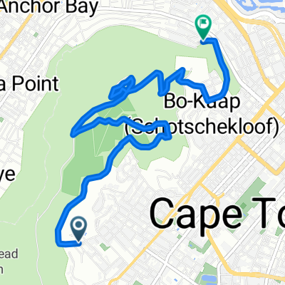
Radroute in Kapstadt, Province of the Western Cape, Republik Südafrika
Morning Commute: Sea Point > Cavendish
1

Route in der Bikemap App öffnen

Diese Route in Bikemap Web öffnen
14
km
Distanz
Distanz
88
m
Aufstieg
Aufstieg
65
m
Abstieg
Abstieg
-:--
h
Dauer
Dauer
--
km/h
ø-Tempo
ø-Tempo
---
m
Max. Höhe
Max. Höhe