Basel out and back
Eine Fahrradroute, die in Basel, Kanton Basel-Stadt, Schweiz beginnt.
Übersicht
Über diese Route
Für euch Rennradfahrer ist dies eine tolle kleine Hin- und Rückstrecke, die flaches Gelände und einige Hügel umfasst und euch zurück zum Basler SBB (Hauptbahnhof) bringt, der ein paar Kilometer vom Startpunkt entfernt ist.
- -:--
- Dauer
- 64,7 km
- Distanz
- 890 m
- Aufstieg
- 893 m
- Abstieg
- ---
- Ø-Tempo
- 609 m
- Max. Höhe
Routenqualität
Wegtypen und Untergründe entlang der Route
Wegtypen
Straße
12,9 km
(20 %)
Ruhige Straße
11,6 km
(18 %)
Untergründe
Befestigt
44 km
(68 %)
Unbefestigt
4,5 km
(7 %)
Asphalt
44 km
(68 %)
Schotter
2,6 km
(4 %)
Highlights der Route
POIs entlang der Route
Interessanter Ort nach 2,4 km
You can turn left here and take the bike path through the forest. It can be tricky with a few turns through the forest but stay in the general map direction and you will hit the Wiese estuary. Follow the Wiese until where the route crosses over the water and rejoin the mapped route.
Interessanter Ort nach 60,2 km
This area has changed due to Novartis St Johan campus development. Direction and route remain almost identical through this section now just with the inclusion of a slightly different road layout.
Weiter mit Bikemap
Diese Radroute verwenden, bearbeiten oder herunterladen
Du möchtest Basel out and back fahren oder sie für deine eigene Reise anpassen? Folgendes kannst du mit dieser Bikemap-Route machen:
Gratis Funktionen
- Speichere diese Route als Favorit oder in einer Sammlung
- Kopiere & plane deine eigene Version dieser Route
- Synchronisiere deine Route mit Garmin oder Wahoo
Premium-Funktionen
Kostenlose Testversion für 3 Tage oder einmalige Zahlung. Mehr über Bikemap Premium.
- Navigiere diese Route auf iOS & Android
- Exportiere eine GPX / KML-Datei dieser Route
- Erstelle deinen individuellen Ausdruck (Jetzt kostenlos ausprobieren)
- Lade diese Route für die Offline-Navigation herunter
Entdecke weitere Premium-Funktionen.
Bikemap Premium aktivierenVon unserer Community
Basel: Andere beliebte Routen, die hier beginnen
 Moderate route in
- Distanz
- 56,9 km
- Aufstieg
- 1.144 m
- Abstieg
- 1.127 m
- Standort
- Basel, Kanton Basel-Stadt, Schweiz
 Rührberg 2
- Distanz
- 23,5 km
- Aufstieg
- 299 m
- Abstieg
- 297 m
- Standort
- Basel, Kanton Basel-Stadt, Schweiz
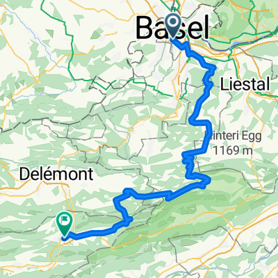
 Basel-Blauen-Basel
- Distanz
- 52,8 km
- Aufstieg
- 885 m
- Abstieg
- 882 m
- Standort
- Basel, Kanton Basel-Stadt, Schweiz
 Tag 1: Basel - Rothenburg LU
- Distanz
- 99,6 km
- Aufstieg
- 1.282 m
- Abstieg
- 1.069 m
- Standort
- Basel, Kanton Basel-Stadt, Schweiz
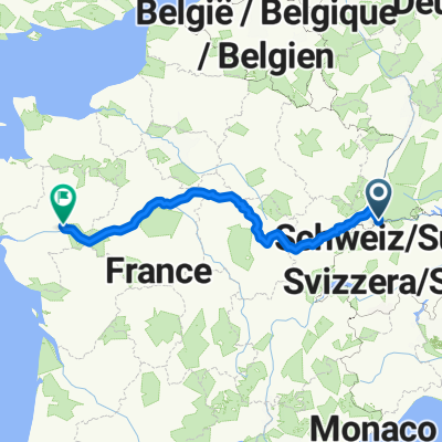
 Basel to Angers
- Distanz
- 930,5 km
- Aufstieg
- 4.082 m
- Abstieg
- 4.313 m
- Standort
- Basel, Kanton Basel-Stadt, Schweiz
 Jura 2025 Etappe 1
- Distanz
- 79,6 km
- Aufstieg
- 1.879 m
- Abstieg
- 1.634 m
- Standort
- Basel, Kanton Basel-Stadt, Schweiz
 Basel out and back
- Distanz
- 64,7 km
- Aufstieg
- 890 m
- Abstieg
- 893 m
- Standort
- Basel, Kanton Basel-Stadt, Schweiz
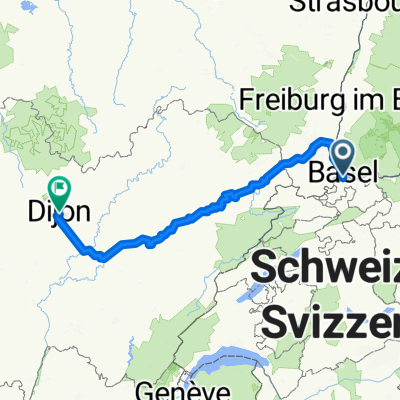
 Basel Dijon
- Distanz
- 303,4 km
- Aufstieg
- 1.736 m
- Abstieg
- 1.768 m
- Standort
- Basel, Kanton Basel-Stadt, Schweiz
In der App öffnen

