

Kristiandsund/Molde/Geiranger (2)
Eine Fahrradroute, die in Kristiansund, Møre og Romsdal, Norwegen beginnt.
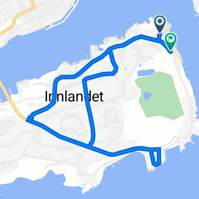
Übersicht
Über diese Route
2 Ferrys...One outside molde on the Rv64 and the Eidsdal linge ferry outside valldalen going south. The road into Geiranger goes through a tunnel, which is recommend that you avoid by following a small road to the side Then a steep hill of switchbacks.
DETAILS: after bussing through sub sea tunnel in kristiansund...Get on the 64. Follow 64 to atlanterhavsvein and beyond (64 goes all the way into Molde) at fork near molde take E39 East fork right onto the 62, then take Osvegen/Fv406 to head back west around the fjord. meet up again with 64, continue south to ferry. follow 64 from ferry all the way into Andalsnes Take E136 until you meet the 63- then take that. 63 into Valldalen and then to ferry. Cont. on 63 to Geiranger. - -:--
- Dauer
- 266,5 km
- Distanz
- 1.967 m
- Aufstieg
- 1.978 m
- Abstieg
- ---
- Ø-Tempo
- ---
- Max. Höhe
Weiter mit Bikemap
Diese Radroute verwenden, bearbeiten oder herunterladen
Du möchtest Kristiandsund/Molde/Geiranger (2) fahren oder sie für deine eigene Reise anpassen? Folgendes kannst du mit dieser Bikemap-Route machen:
Gratis Funktionen
- Speichere diese Route als Favorit oder in einer Sammlung
- Kopiere & plane deine eigene Version dieser Route
- Teile sie in Etappen ein, um eine mehrtägige Tour zu erstellen
- Synchronisiere deine Route mit Garmin oder Wahoo
Premium-Funktionen
Kostenlose Testversion für 3 Tage oder einmalige Zahlung. Mehr über Bikemap Premium.
- Navigiere diese Route auf iOS & Android
- Exportiere eine GPX / KML-Datei dieser Route
- Erstelle deinen individuellen Ausdruck (Jetzt kostenlos ausprobieren)
- Lade diese Route für die Offline-Navigation herunter
Entdecke weitere Premium-Funktionen.
Bikemap Premium aktivierenVon unserer Community
Kristiansund: Andere beliebte Routen, die hier beginnen
 Trondheim - Bergen part 3
- Distanz
- 272,9 km
- Aufstieg
- 1.078 m
- Abstieg
- 1.071 m
- Standort
- Kristiansund, Møre og Romsdal, Norwegen
 Fat man on Tour 2016 Kristiansund-Oslo
- Distanz
- 610,4 km
- Aufstieg
- 1.768 m
- Abstieg
- 1.794 m
- Standort
- Kristiansund, Møre og Romsdal, Norwegen
 DNB Dag 1
- Distanz
- 134,9 km
- Aufstieg
- 628 m
- Abstieg
- 625 m
- Standort
- Kristiansund, Møre og Romsdal, Norwegen
 dag 1
dag 1- Distanz
- 144,5 km
- Aufstieg
- 1.787 m
- Abstieg
- 1.801 m
- Standort
- Kristiansund, Møre og Romsdal, Norwegen
 77. Kristiansund to Molde
- Distanz
- 128,4 km
- Aufstieg
- 969 m
- Abstieg
- 994 m
- Standort
- Kristiansund, Møre og Romsdal, Norwegen
 Testrute 1 - Innlandet
- Distanz
- 3,2 km
- Aufstieg
- 82 m
- Abstieg
- 82 m
- Standort
- Kristiansund, Møre og Romsdal, Norwegen
 Nor 3 dzień A i R
- Distanz
- 173 km
- Aufstieg
- 488 m
- Abstieg
- 526 m
- Standort
- Kristiansund, Møre og Romsdal, Norwegen
 Kristianssund-Bergen
- Distanz
- 618,2 km
- Aufstieg
- 8.357 m
- Abstieg
- 8.360 m
- Standort
- Kristiansund, Møre og Romsdal, Norwegen
In der App öffnen