Premium Badge Aus dem App Store herunterladen Hol dir Bikemap auf Google Play Turn-by-Turn-Navigation Offline Maps Bike Type Optimized Routing Premium Maps Individueller Fahrradcomputer Routen-Export Route Previews Sturzerkennung Premium Support

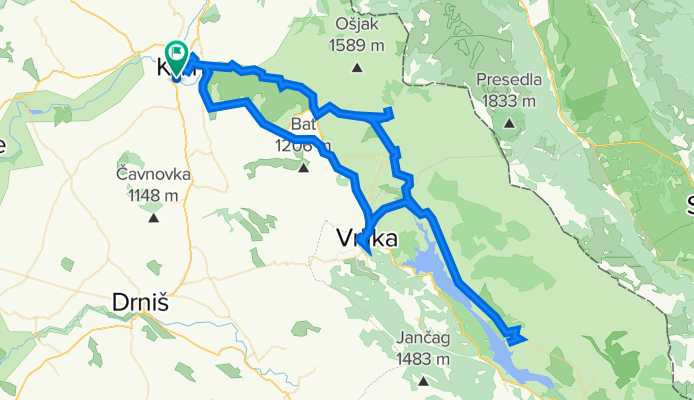
Radroute in Knin, Šibensko-Kninska Županija, Kroatien

Knin-Kijevo-Vrlika-Peruča-Cetina-Podinarje-Krčić-Knin

0
Route in der Bikemap App öffnen

Route in der Bikemap App öffnen

Diese Route in Bikemap Web öffnen

Diese Route in Bikemap Web öffnen

115 km
Distanz
902 m
Aufstieg
886 m
Abstieg
-:-- h
Dauer
-- km/h
ø-Tempo
--- m
Max. Höhe

Über diese Route

This route starts at Croatian medieval town of Knin, under magnificent Knin fortess. You drive on asphalt toword Sinj and Split, and you pass through villages Polača and Kijevo, enjoying view on Dinara and Kijevski Kozjak mountains, unil finaly reaching Vrlika. There you can visit Prozor fortress. After Vrlika you go back to Kosore village and then to north east side of Peruča Lake, visiting Serbian-Orthodox monastery Dragović and Dabar creek. You go back same way but then move onto Cetina village where you can visit 9. century church St. Saviour and astonishing gem of nature : spring of river Cetina. Next stop is Glavaš village, and 14 century fort of Dinarić (Glavaš). Under Dinara you ride to Krčić kanyon, where you can enjoy idilic landscapes - old mills, houses, waterfalls until finaly reaching Krka spring and spectacular 22 meters high waterfall Topoljski buk, just 3 km from starting point - Knin.

Diese Fahrradroute ist ideal für: MTB

Du fährst auf folgendem Untergrund: Asphaltiert Unbefestigt Schotter

Passe diese Fahrradroute mit dem Bikemap-Routenplaner an.

Passe diese Route an!

Wusstest du schon? Du kannst diese Route als Vorlage in unserem Routenplaner verwenden, und sie ganz einfach nach deinen Bedürfnissen anpassen. So planst du noch schneller deine perfekte Radtour.

In der App öffnen