

Circumnavigating Lake Union
Eine Fahrradroute, die in Seattle, Washington, Vereinigte Staaten beginnt.
Übersicht
Über diese Route
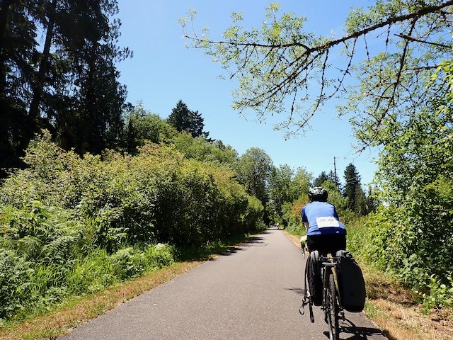
Diese Route wählt den Weg mit dem geringsten Widerstand um den Lake Union. Einige Punkte auf der Karte folgen nicht genau der Strecke, die ich eingeben wollte, aber das ist sehr nah dran, wird funktionieren, und in diesen wenigen Fällen findest du auch direkteste Wege. (Zum Beispiel kann die südwestliche "Ecke" des Sees befahren werden.)
Die Höhendifferenz auf dieser Strecke ist sehr gering. Die University Bridge ist eine leichte Steigung, und nach der Überquerung der Fremont Bridge gibt es eine kostenlose Abfahrt. Der "Trail" folgt wirklich eng dem Seeufer und vermeidet Eastlake, wenn es möglich ist, um eine leichtere Steigung zu nehmen und dem Fahrer ein paar ebenmäßige Blocks zum "Ausruhen" zwischen den Anstiegen zu bieten.
Diese Fahrt dauert weniger als eine halbe Stunde, wenn du ein gutes Tempo hältst.
- -:--
- Dauer
- 11 km
- Distanz
- 79 m
- Aufstieg
- 77 m
- Abstieg
- ---
- Ø-Tempo
- 36 m
- Max. Höhe
Routenqualität
Wegtypen und Untergründe entlang der Route
Wegtypen
Ruhige Straße
2,5 km
(23 %)
Straße
2,2 km
(20 %)
Untergründe
Befestigt
8,8 km
(80 %)
Asphalt
5,2 km
(47 %)
Beton
3,6 km
(33 %)
Undefiniert
2,2 km
(20 %)
Weiter mit Bikemap
Diese Radroute verwenden, bearbeiten oder herunterladen
Du möchtest Circumnavigating Lake Union fahren oder sie für deine eigene Reise anpassen? Folgendes kannst du mit dieser Bikemap-Route machen:
Gratis Funktionen
- Speichere diese Route als Favorit oder in einer Sammlung
- Kopiere & plane deine eigene Version dieser Route
- Synchronisiere deine Route mit Garmin oder Wahoo
Premium-Funktionen
Kostenlose Testversion für 3 Tage oder einmalige Zahlung. Mehr über Bikemap Premium.
- Navigiere diese Route auf iOS & Android
- Exportiere eine GPX / KML-Datei dieser Route
- Erstelle deinen individuellen Ausdruck (Jetzt kostenlos ausprobieren)
- Lade diese Route für die Offline-Navigation herunter
Entdecke weitere Premium-Funktionen.
Bikemap Premium aktivierenVon unserer Community
Seattle: Andere beliebte Routen, die hier beginnen
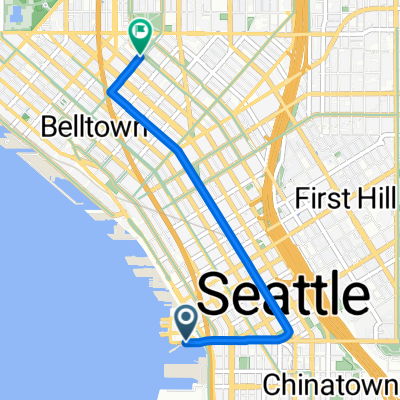
 East Mercer Street to 14th Ave S & S Washington St
- Distanz
- 15,3 km
- Aufstieg
- 156 m
- Abstieg
- 181 m
- Standort
- Seattle, Washington, Vereinigte Staaten
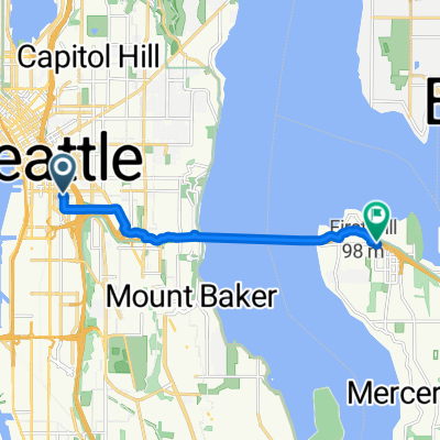
 E Hamlin St, Seattle to W Mercer Way, Mercer Island
- Distanz
- 20,8 km
- Aufstieg
- 298 m
- Abstieg
- 256 m
- Standort
- Seattle, Washington, Vereinigte Staaten
 5th Ave S, Seattle to 76th Ave SE, Mercer Island
- Distanz
- 8,3 km
- Aufstieg
- 98 m
- Abstieg
- 81 m
- Standort
- Seattle, Washington, Vereinigte Staaten
 Morning Commute 2
- Distanz
- 3,2 km
- Aufstieg
- 101 m
- Abstieg
- 64 m
- Standort
- Seattle, Washington, Vereinigte Staaten
 Afternoon Commute
- Distanz
- 4,2 km
- Aufstieg
- 79 m
- Abstieg
- 112 m
- Standort
- Seattle, Washington, Vereinigte Staaten
 2025-7-12 Seattle to Chehalis - STP Day 1
- Distanz
- 171,5 km
- Aufstieg
- 1.532 m
- Abstieg
- 1.564 m
- Standort
- Seattle, Washington, Vereinigte Staaten
 To Bellevue and Back
- Distanz
- 15,8 km
- Aufstieg
- 265 m
- Abstieg
- 265 m
- Standort
- Seattle, Washington, Vereinigte Staaten
 Alaskan/Jackson ➡️ Central Cinema
- Distanz
- 4,2 km
- Aufstieg
- 133 m
- Abstieg
- 32 m
- Standort
- Seattle, Washington, Vereinigte Staaten
In der App öffnen