

The Washington & Old Dominion Trail
Eine Fahrradroute, die in Dunn Loring, Virginia, Vereinigte Staaten beginnt.
Übersicht
Über diese Route
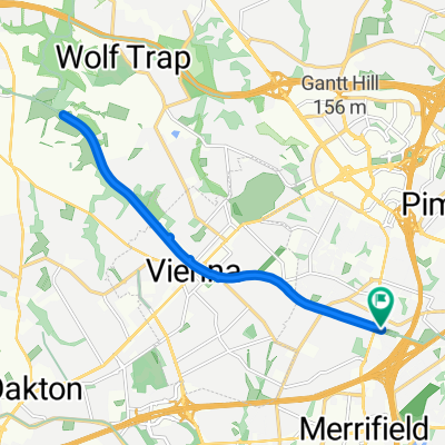
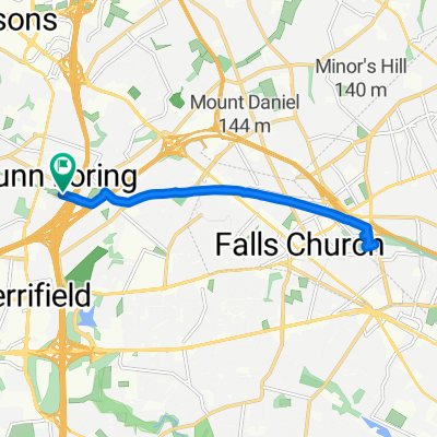
The Washington & Old Dominion Trail (W&OD or "Wad") is a great rail trail through the Northern Virginia counties. The entire 45 miles is paved with nine foot wide asphalt and has a painted yellow center line. There is also a parallel horse trail along much of the trail (which can be a nice diversion for ATBs). The only real complaints about this trail are its popularity (it can be quite crowded on some days) and the fact that much of it follows a power line right-of-way
The W&OD Trail begins in the Shirlington area of Arlington County, just off I-395 Exit 6. It ends "way-out" in rural Purcellville, VA. Along the way, it passes through quaint villages like Falls Church and Leesburg, and high-tech centers such as Reston and Herndon.
- -:--
- Dauer
- 96,5 km
- Distanz
- 379 m
- Aufstieg
- 390 m
- Abstieg
- ---
- Ø-Tempo
- ---
- Max. Höhe
Routenqualität
Wegtypen und Untergründe entlang der Route
Wegtypen
Radweg
94,8 km
(98 %)
Ruhige Straße
0,6 km
(<1 %)
Untergründe
Befestigt
94,6 km
(98 %)
Unbefestigt
1,2 km
(1 %)
Asphalt
92,5 km
(96 %)
Beton
1,6 km
(2 %)
Weiter mit Bikemap
Diese Radroute verwenden, bearbeiten oder herunterladen
Du möchtest The Washington & Old Dominion Trail fahren oder sie für deine eigene Reise anpassen? Folgendes kannst du mit dieser Bikemap-Route machen:
Gratis Funktionen
- Speichere diese Route als Favorit oder in einer Sammlung
- Kopiere & plane deine eigene Version dieser Route
- Teile sie in Etappen ein, um eine mehrtägige Tour zu erstellen
- Synchronisiere deine Route mit Garmin oder Wahoo
Premium-Funktionen
Kostenlose Testversion für 3 Tage oder einmalige Zahlung. Mehr über Bikemap Premium.
- Navigiere diese Route auf iOS & Android
- Exportiere eine GPX / KML-Datei dieser Route
- Erstelle deinen individuellen Ausdruck (Jetzt kostenlos ausprobieren)
- Lade diese Route für die Offline-Navigation herunter
Entdecke weitere Premium-Funktionen.
Bikemap Premium aktivierenVon unserer Community
Dunn Loring: Andere beliebte Routen, die hier beginnen
 Recovered Route
- Distanz
- 233,9 km
- Aufstieg
- 146 m
- Abstieg
- 208 m
- Standort
- Dunn Loring, Virginia, Vereinigte Staaten
 Olympic Tri Distance
- Distanz
- 40,1 km
- Aufstieg
- 206 m
- Abstieg
- 206 m
- Standort
- Dunn Loring, Virginia, Vereinigte Staaten
 N Park St, Dunn Loring to N Park St, Dunn Loring
- Distanz
- 16,5 km
- Aufstieg
- 116 m
- Abstieg
- 116 m
- Standort
- Dunn Loring, Virginia, Vereinigte Staaten
 Home to the embassy
- Distanz
- 22,6 km
- Aufstieg
- 149 m
- Abstieg
- 220 m
- Standort
- Dunn Loring, Virginia, Vereinigte Staaten
 Washington and Old Dominion Trail, Dunn Loring to Washington and Old Dominion Trail, Dunn Loring
- Distanz
- 13,3 km
- Aufstieg
- 105 m
- Abstieg
- 104 m
- Standort
- Dunn Loring, Virginia, Vereinigte Staaten
 8/14 Exploration
- Distanz
- 10,4 km
- Aufstieg
- 154 m
- Abstieg
- 159 m
- Standort
- Dunn Loring, Virginia, Vereinigte Staaten
 2367 Cedar Ln, Vienna to 1000 E Broad St, Falls Church
- Distanz
- 9,7 km
- Aufstieg
- 76 m
- Abstieg
- 93 m
- Standort
- Dunn Loring, Virginia, Vereinigte Staaten
 Bike to work
- Distanz
- 9,8 km
- Aufstieg
- 56 m
- Abstieg
- 109 m
- Standort
- Dunn Loring, Virginia, Vereinigte Staaten
In der App öffnen