ITINERARIO 1 - VECCHIA MASSERIA
Eine Fahrradroute, die in San Michele di Ganzaria, Sizilien, Italien beginnt.
Übersicht
Über diese Route
L’Itinerario 1 è un percorso difficile, prevalentemente rivolto a bikers e trekkers con un buon livello di allenamento in quanto lungo il percorso ci sono salite impegnative. Il percorso è percorribile anche in Quad. Lungo il percorso è possibile visitare: “Poggio Pizzuto” torre di avvistamento di età medievale; “Piano Cannelle” chiesa cimiteriale dove venivano svolte attività liturgiche per le comunità rurali locali. L’itinerario è inoltre molto panoramico e porta fino alla vetta da dove è possibile osservare la vallata circostante.
The Route 1 is an hard path, mainly aimed for bikers and trekkers with a good level of fitness because along the way there are steep climbs.The route is practicable also by quad. Along the way you can visit: "Poggio Pizzuto" watchtower of the medieval age; "Piano Cannelle" graveyard church where liturgical activities for local rural communities were carried out. The route is also very scenic it leads to the summit from where you can observe the surrounding valley.
- -:--
- Dauer
- 15,9 km
- Distanz
- 504 m
- Aufstieg
- 506 m
- Abstieg
- ---
- Ø-Tempo
- ---
- Max. Höhe
Highlights der Route
POIs entlang der Route
Interessanter Ort nach 0 km
vecchia masseria

Interessanter Ort nach 1,7 km
incrocuo

Interessanter Ort nach 2,9 km
Poggio pizzuto

Interessanter Ort nach 2,9 km
Poggio pizzuto
Interessanter Ort nach 3 km
Poggio pizzuto. Su Poggio Pizzuto vi era una Torre Medievale per il controllo del versante sud occidentale del Vallone dell'Eremita. On Poggio Pizzuto there was, in the Middle Ages, a tower placed in the control of south - west side of the Eremita Valley.

Interessanter Ort nach 4,2 km
incrocio Photo2
Interessanter Ort nach 4,2 km
Discesa per Poggio pizzato Hill descent to Poggio Pizzuto

Foto nach 5 km
Sito Archeologico - Piano Cannelle Archeological Site - Piano Cannelle

Interessanter Ort nach 5 km
piano cannella
Interessanter Ort nach 5 km
piano cannella

Interessanter Ort nach 6,8 km
panorama

Interessanter Ort nach 8,1 km
vetta
Interessanter Ort nach 8,1 km
vetta

Foto nach 8,1 km
Vetta Top

Foto nach 12,1 km
Panorama Landscape
Interessanter Ort nach 12,1 km
panorama

Interessanter Ort nach 14,5 km
ingresso parco naturale

Foto nach 14,5 km
Ingresso parco naturale. Entrance Natural Area
Interessanter Ort nach 14,5 km
Ingresso parco naturale Entrance Natural Area

Interessanter Ort nach 15,8 km
start

Interessanter Ort nach 15,9 km
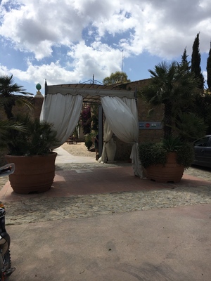
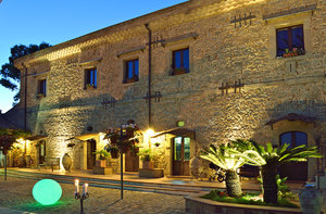
Vecchia Masseria
Weiter mit Bikemap
Diese Radroute verwenden, bearbeiten oder herunterladen
Du möchtest ITINERARIO 1 - VECCHIA MASSERIA fahren oder sie für deine eigene Reise anpassen? Folgendes kannst du mit dieser Bikemap-Route machen:
Gratis Funktionen
- Speichere diese Route als Favorit oder in einer Sammlung
- Kopiere & plane deine eigene Version dieser Route
- Synchronisiere deine Route mit Garmin oder Wahoo
Premium-Funktionen
Kostenlose Testversion für 3 Tage oder einmalige Zahlung. Mehr über Bikemap Premium.
- Navigiere diese Route auf iOS & Android
- Exportiere eine GPX / KML-Datei dieser Route
- Erstelle deinen individuellen Ausdruck (Jetzt kostenlos ausprobieren)
- Lade diese Route für die Offline-Navigation herunter
Entdecke weitere Premium-Funktionen.
Bikemap Premium aktivierenVon unserer Community
San Michele di Ganzaria: Andere beliebte Routen, die hier beginnen
 Quick bike tour through Caltagirone
- Distanz
- 5,7 km
- Aufstieg
- 226 m
- Abstieg
- 201 m
- Standort
- San Michele di Ganzaria, Sizilien, Italien
 ITINERARIO 5 - VECCHIA MASSERIA
- Distanz
- 38,2 km
- Aufstieg
- 906 m
- Abstieg
- 906 m
- Standort
- San Michele di Ganzaria, Sizilien, Italien
 De Contrada Cutuminello, Caltagirone à Contrada Cutuminello, Caltagirone
- Distanz
- 5 km
- Aufstieg
- 221 m
- Abstieg
- 206 m
- Standort
- San Michele di Ganzaria, Sizilien, Italien
 Unnamed Road, Caltagirone naar Unnamed Road, Caltagirone
- Distanz
- 2,2 km
- Aufstieg
- 45 m
- Abstieg
- 66 m
- Standort
- San Michele di Ganzaria, Sizilien, Italien
 ITINERARIO 6 - VECCHIA MASSERIA
- Distanz
- 5,2 km
- Aufstieg
- 229 m
- Abstieg
- 230 m
- Standort
- San Michele di Ganzaria, Sizilien, Italien
 ITINERARIO 1 - VECCHIA MASSERIA
- Distanz
- 24,6 km
- Aufstieg
- ---
- Abstieg
- ---
- Standort
- San Michele di Ganzaria, Sizilien, Italien
 first walk in Sicilly from 4 June, 09:48
- Distanz
- 8,4 km
- Aufstieg
- 339 m
- Abstieg
- 287 m
- Standort
- San Michele di Ganzaria, Sizilien, Italien
 ITINERARIO 2 - VECCHIA MASSERIA
- Distanz
- 2,6 km
- Aufstieg
- 137 m
- Abstieg
- 137 m
- Standort
- San Michele di Ganzaria, Sizilien, Italien
In der App öffnen


