- 16,5 km
- 413 m
- 225 m
- North Vancouver, British Columbia, Kanada
Proposed Acrtoss Canada Trails - Paved Route Burnaby to Hope
Eine Fahrradroute, die in North Vancouver, British Columbia, Kanada beginnt.
Übersicht
Über diese Route
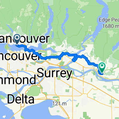
Dies ist die vorgeschlagene Route bisher von der Brücke nach Hope, BC
Die Autobahn 7 ist die bevorzugte Route (aus Erfahrung), da sie viel ruhiger und dennoch direkt ist. Die Route aus der Stadt folgt regionalen Radwegen.
Laut OpenCycleMap sieht es so aus, als ob der 'Central Valley Greenway' eine gute Option sein könnte. Allerdings existieren entweder keine lokalen Routen oder sie sind nicht kartiert.
Diese Routenplanung ist ccBYsa, bitte helfen Sie, indem Sie eine Kopie davon machen und sie so zu ändern, wie Sie denken, dass sie sein sollte :)
Bitte verwenden Sie auch NUR OpenCycleMap & OpenStreetMap, um die Routenplanung zu finden.
Hinweis: Wenn Menschen 'Bike Across Canada' machen, ist dies ein Standardstartpunkt (da es das Ende von Salzwasser ist, das den Pazifischen Ozean berührt)
- -:--
- Dauer
- 141,9 km
- Distanz
- 963 m
- Aufstieg
- 967 m
- Abstieg
- ---
- Ø-Tempo
- ---
- Max. Höhe
Erstellt vor 16 Jahren
Highlights der Route
POIs entlang der Route
Interessanter Ort nach 17,6 km
If there is a cycle way here, it might be best to take this route, and head northwest to Port Coquitlam instead of its current route. (if those tracks are paved)
Weiter mit Bikemap
Diese Radroute verwenden, bearbeiten oder herunterladen
Du möchtest Proposed Acrtoss Canada Trails - Paved Route Burnaby to Hope fahren oder sie für deine eigene Reise anpassen? Folgendes kannst du mit dieser Bikemap-Route machen:
Gratis Funktionen
- Speichere diese Route als Favorit oder in einer Sammlung
- Kopiere & plane deine eigene Version dieser Route
- Teile sie in Etappen ein, um eine mehrtägige Tour zu erstellen
- Synchronisiere deine Route mit Garmin oder Wahoo
Premium-Funktionen
Kostenlose Testversion für 3 Tage oder einmalige Zahlung. Mehr über Bikemap Premium.
- Navigiere diese Route auf iOS & Android
- Exportiere eine GPX / KML-Datei dieser Route
- Erstelle deinen individuellen Ausdruck (Jetzt kostenlos ausprobieren)
- Lade diese Route für die Offline-Navigation herunter
Entdecke weitere Premium-Funktionen.
Bikemap Premium aktivierenVon unserer Community
North Vancouver: Andere beliebte Routen, die hier beginnen
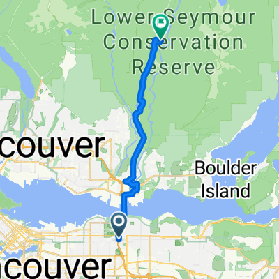
- Gravel Gremlins - Location #1
- E Hastings St, Vancouver to Gallant Ave, North Vancouver
- 11,4 km
- 160 m
- 182 m
- North Vancouver, British Columbia, Kanada
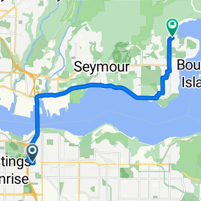
- Keith Rd E, North Vancouver to Gilmore Ave N, Burnaby
- 77,6 km
- 958 m
- 874 m
- North Vancouver, British Columbia, Kanada
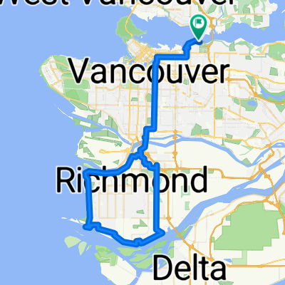
- Richmond loop (67km)
- 67,6 km
- 463 m
- 467 m
- North Vancouver, British Columbia, Kanada
- Evelyn St, North Vancouver to Hornby St, Vancouver
- 17,9 km
- 166 m
- 348 m
- North Vancouver, British Columbia, Kanada
- NV to Ridge
- 65,4 km
- 613 m
- 579 m
- North Vancouver, British Columbia, Kanada
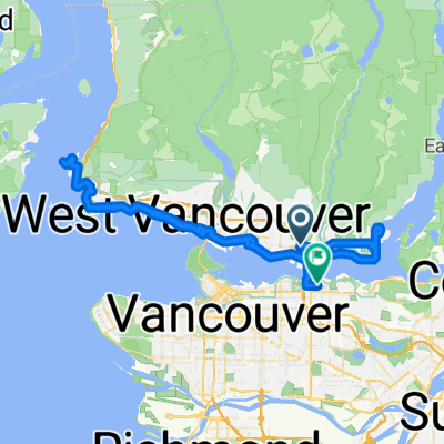
- Horseshoe Bay Loop
- 68,3 km
- 945 m
- 941 m
- North Vancouver, British Columbia, Kanada
- Vancouver 100km
- 102,4 km
- 722 m
- 718 m
- North Vancouver, British Columbia, Kanada
In der App öffnen


