


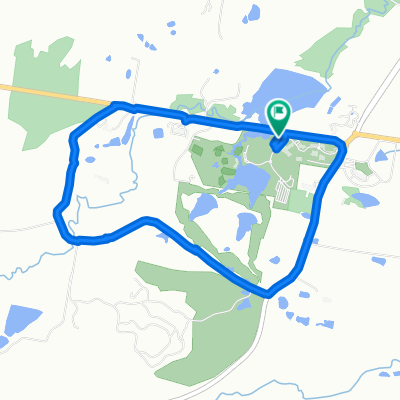
Millfield to Cessnock loop
Eine Fahrradroute, die in Cessnock, New South Wales, Australien beginnt.
Übersicht
Über diese Route
5
Große Abschnitte dieser Strecke sind entweder Schotterstraße oder sandiger/steiniger Feuerwehrweg. Ein Mountainbike ist erforderlich.
Die erste Hälfte ist die malerischste und hügeligste. Sie führt durch grüne, sanft hügelige Landschaften und Weingüter. Die Rückfahrt verläuft durch das sandige Buschland der 'Powerline Road' und die Orte Ellalong und Paxton.
Diese Tour hat bei mir 4 Stunden gedauert.
- -:--
- Dauer
- 37,3 km
- Distanz
- 430 m
- Aufstieg
- 430 m
- Abstieg
- ---
- Ø-Tempo
- ---
- Max. Höhe
amross
Erstellt vor 16 Jahren
Highlights der Route
POIs entlang der Route
Interessanter Ort nach 22,6 km
The next section is very sandy
Interessanter Ort nach 25,2 km
Don't get lost here. If in doubt, follow the powerline
Weiter mit Bikemap
Diese Radroute verwenden, bearbeiten oder herunterladen
Du möchtest Millfield to Cessnock loop fahren oder sie für deine eigene Reise anpassen? Folgendes kannst du mit dieser Bikemap-Route machen:
Gratis Funktionen
- Speichere diese Route als Favorit oder in einer Sammlung
- Kopiere & plane deine eigene Version dieser Route
- Synchronisiere deine Route mit Garmin oder Wahoo
Premium-Funktionen
Kostenlose Testversion für 3 Tage oder einmalige Zahlung. Mehr über Bikemap Premium.
- Navigiere diese Route auf iOS & Android
- Exportiere eine GPX / KML-Datei dieser Route
- Erstelle deinen individuellen Ausdruck (Jetzt kostenlos ausprobieren)
- Lade diese Route für die Offline-Navigation herunter
Entdecke weitere Premium-Funktionen.
Bikemap Premium aktivierenVon unserer Community
Cessnock: Andere beliebte Routen, die hier beginnen


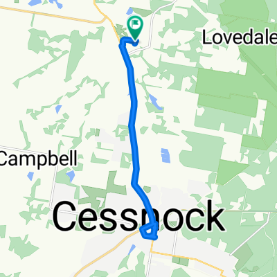
 Wine Country Drive, Lovedale to Wine Country Drive, Lovedale0
- 16,5 km
- 200 m
- 202 m
- Cessnock, New South Wales, Australien
 Wine Country Drive, Lovedale to Wine Country Drive, Lovedale0
- 16,1 km
- 89 m
- 89 m
- Cessnock, New South Wales, Australien

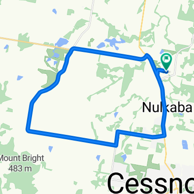 Wine Country Drive, Lovedale to Wine Country Drive, Lovedale0
- 20,8 km
- 265 m
- 268 m
- Cessnock, New South Wales, Australien
 85 Lovedale Road, Lovedale to 29–37 King Road, Mount View0
- 16,7 km
- 410 m
- 231 m
- Cessnock, New South Wales, Australien


In der App öffnen