

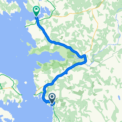
4th Day: Pivarootsi Windmil-Peraküla campsite (115 km)
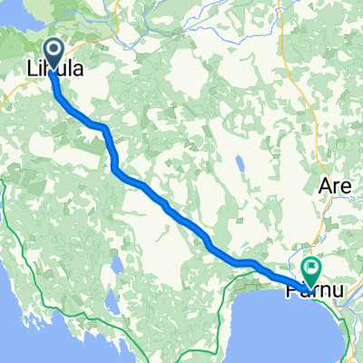
Eine Fahrradroute, die in Lihula, Kreis Lääne, Estland beginnt.
Übersicht
Über diese Route
- -:--
- Dauer
- 114,3 km
- Distanz
- 91 m
- Aufstieg
- 93 m
- Abstieg
- ---
- Ø-Tempo
- ---
- Max. Höhe
Routenqualität
Wegtypen und Untergründe entlang der Route
Wegtypen
Straße
56 km
(49 %)
Ruhige Straße
13,7 km
(12 %)
Untergründe
Befestigt
90,3 km
(79 %)
Unbefestigt
16 km
(14 %)
Asphalt
90,3 km
(79 %)
Schotter
10,3 km
(9 %)
Highlights der Route
POIs entlang der Route
Interessanter Ort nach 12,6 km
Karuse church.
Interessanter Ort nach 16,4 km
Tuudi grocery store.
Interessanter Ort nach 24,7 km
Restaurant or cafe Birgit
Interessanter Ort nach 34,3 km
Kirbla grocery store.
Interessanter Ort nach 45,4 km
Rõude grocery store.
Interessanter Ort nach 58,1 km
Martna grocery store.
Interessanter Ort nach 58,7 km
Martna church.
Interessanter Ort nach 75,8 km
Linnamäe grocery store.
Interessanter Ort nach 102 km
Dirhami cafe.
Interessanter Ort nach 102,1 km
Dirhami beacon and pier.
Interessanter Ort nach 105,8 km
Põõsaspea beacon.
Interessanter Ort nach 105,8 km
Põõsaspea rest stop. Cape Põõsaspea is the north-westernmost tip of mainland Estonia, which is important for the entire Baltic Sea. Here starts the line, which extends over Osmussaare Island to Cape Hanko and divides the sea into the Gulf of Finland and the Baltic Sea. The place is one of the best sites for watching the migration of arctic seabirds. One of the best sites for watching the migration of arctic seabirds. Rocks from the Neugrund meterorite crater – the breccias. http://www.loodusegakoos.ee/where-to-go/recreation-areas/nova-recreation-area/poosaspea-recreation-site
Interessanter Ort nach 111,8 km
Peraküla observation tower.
Interessanter Ort nach 111,9 km
Uuejõe campfire site. The campfire site is in a peaceful location on the shore of the disappearing Lake Flyvae and the Uuejõe River, wonderfully sheltered from the sea winds. Early in summer the continuous chirping of the Savi’s warbler can be heard from the reed. 300 m to the beach with “singing sand dunes”. http://www.loodusegakoos.ee/where-to-go/recreation-areas/nova-recreation-area/uuejoe-campfire-site
Interessanter Ort nach 114,3 km
Peraküla campsite. The Peraküla beach is famous for its singing sands and the clean sea. The campsite has been established to protect the fragile dunes and to provide an opportunity for holiday-makers to come as close to the seashore as possible. The sea water is refreshingly cool and warms up by the end of the summer. One can take nice walks along the shore here. Nearby is also the start of the 4.4 km study trail that offers an alternative to beach pleasures. The sea is suitable for surfers. Long beaches with singing sands, cultural heritage and mighty old trees. http://www.loodusegakoos.ee/where-to-go/recreation-areas/nova-recreation-area/perakula-campsite
Interessanter Ort nach 114,3 km
Liivaseranna-Peraküla study trail (4.4 km). The study trail that starts from and ends at Liivase rand (Sandy beach) goes through the typical landscape of the area. Along the trail we can see both young and older pine forests, sand dunes, swampy areas and lakes. Interesting cultural heritage (stone road dating from the World War I, ruins of a radio station) and environment (valuable ecosystems, singing sands, unique landscape) http://www.loodusegakoos.ee/where-to-go/recreation-areas/nova-recreation-area/liivaseranna-perakula-study-trail-4-dot-4-km
Interessanter Ort nach 114,3 km
Kalasaba cafe.
Weiter mit Bikemap
Diese Radroute verwenden, bearbeiten oder herunterladen
Du möchtest 4th Day: Pivarootsi Windmil-Peraküla campsite (115 km) fahren oder sie für deine eigene Reise anpassen? Folgendes kannst du mit dieser Bikemap-Route machen:
Gratis Funktionen
- Speichere diese Route als Favorit oder in einer Sammlung
- Kopiere & plane deine eigene Version dieser Route
- Teile sie in Etappen ein, um eine mehrtägige Tour zu erstellen
- Synchronisiere deine Route mit Garmin oder Wahoo
Premium-Funktionen
Kostenlose Testversion für 3 Tage oder einmalige Zahlung. Mehr über Bikemap Premium.
- Navigiere diese Route auf iOS & Android
- Exportiere eine GPX / KML-Datei dieser Route
- Erstelle deinen individuellen Ausdruck (Jetzt kostenlos ausprobieren)
- Lade diese Route für die Offline-Navigation herunter
Entdecke weitere Premium-Funktionen.
Bikemap Premium aktivierenVon unserer Community
Lihula: Andere beliebte Routen, die hier beginnen
 Lihula-Pärnu
- Distanz
- 56,5 km
- Aufstieg
- 70 m
- Abstieg
- 85 m
- Standort
- Lihula, Kreis Lääne, Estland
 PaatsaluHaapsalu
- Distanz
- 85,9 km
- Aufstieg
- 63 m
- Abstieg
- 63 m
- Standort
- Lihula, Kreis Lääne, Estland
 Baltikum Part 3
- Distanz
- 231,6 km
- Aufstieg
- 161 m
- Abstieg
- 168 m
- Standort
- Lihula, Kreis Lääne, Estland
 Karuse - Munalaiu
- Distanz
- 60,8 km
- Aufstieg
- 1.717 m
- Abstieg
- 1.729 m
- Standort
- Lihula, Kreis Lääne, Estland
![[Re5] Oidrema-Haapsalu](https://media.bikemap.net/routes/4565579/staticmaps/in_b1accf90-f915-44ee-a8ac-9d646b986b87_400x400_bikemap-2021-3D-static.png) [Re5] Oidrema-Haapsalu
[Re5] Oidrema-Haapsalu- Distanz
- 66,5 km
- Aufstieg
- 70 m
- Abstieg
- 83 m
- Standort
- Lihula, Kreis Lääne, Estland
 De Karuputke, Vatla à Haapsalu maantee 41, Pärnu
- Distanz
- 46,5 km
- Aufstieg
- 4 m
- Abstieg
- 13 m
- Standort
- Lihula, Kreis Lääne, Estland
 Saarenmaa-Hiidenmaa
- Distanz
- 269,6 km
- Aufstieg
- 198 m
- Abstieg
- 196 m
- Standort
- Lihula, Kreis Lääne, Estland
 Lihula - Parnu
- Distanz
- 109 km
- Aufstieg
- 107 m
- Abstieg
- 120 m
- Standort
- Lihula, Kreis Lääne, Estland
In der App öffnen