- 106,2 km
- 2.634 m
- 2.459 m
- Granada, Andalusien, Spanien
Through the highest road of Europe
Eine Fahrradroute, die in Granada, Andalusien, Spanien beginnt.
Übersicht
Über diese Route
Diese Route führt durch die Sierra Nevada im Süden Spaniens. Es ist die höchste Straße Europas, die Sie zum Gipfel des Veleta-Peaks auf 3395 m bringt.
Die Route beginnt in Granada auf etwa 700 m über dem Meeresspiegel. Seien Sie also darauf vorbereitet, zu leiden!
Bis km 39 können Sie mit dem Auto fahren, wenn Sie das Leiden vermeiden wollen. Danach ist es strikt verboten, da es ein Nationalpark ist; Sie können nur der Straße folgen.
Ich empfehle, es mit einem Mountainbike zu fahren, wenn Sie den Gipfel mit dem Fahrrad erreichen möchten, aber Sie können auch Ihr Rennrad benutzen. Nur auf den letzten 2 km sollten Sie zu Fuß gehen.
- -:--
- Dauer
- 96,9 km
- Distanz
- 2.669 m
- Aufstieg
- 2.672 m
- Abstieg
- ---
- Ø-Tempo
- ---
- Max. Höhe
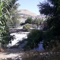
Fotos von der Route
Routenqualität
Wegtypen und Untergründe entlang der Route
Wegtypen
Straße
23,3 km
(24 %)
Ruhige Straße
21,3 km
(22 %)
Untergründe
Befestigt
80,4 km
(83 %)
Unbefestigt
1,9 km
(2 %)
Asphalt
80,4 km
(83 %)
Felsen
1,9 km
(2 %)
Undefiniert
14,5 km
(15 %)
Weiter mit Bikemap
Diese Radroute verwenden, bearbeiten oder herunterladen
Du möchtest Through the highest road of Europe fahren oder sie für deine eigene Reise anpassen? Folgendes kannst du mit dieser Bikemap-Route machen:
Gratis Funktionen
- Speichere diese Route als Favorit oder in einer Sammlung
- Kopiere & plane deine eigene Version dieser Route
- Teile sie in Etappen ein, um eine mehrtägige Tour zu erstellen
- Synchronisiere deine Route mit Garmin oder Wahoo
Premium-Funktionen
Kostenlose Testversion für 3 Tage oder einmalige Zahlung. Mehr über Bikemap Premium.
- Navigiere diese Route auf iOS & Android
- Exportiere eine GPX / KML-Datei dieser Route
- Erstelle deinen individuellen Ausdruck (Jetzt kostenlos ausprobieren)
- Lade diese Route für die Offline-Navigation herunter
Entdecke weitere Premium-Funktionen.
Bikemap Premium aktivierenVon unserer Community
Granada: Andere beliebte Routen, die hier beginnen
- Granada - Benalúa de Guadix
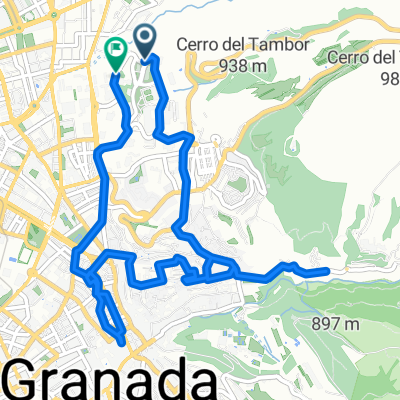
- Granada Vistas y Aquas
- 26,5 km
- 518 m
- 475 m
- Granada, Andalusien, Spanien
- granada
- 9,9 km
- 205 m
- 208 m
- Granada, Andalusien, Spanien
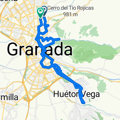
- granada
- 25,9 km
- 483 m
- 484 m
- Granada, Andalusien, Spanien
- Granada Escuzar
- 79,6 km
- 701 m
- 700 m
- Granada, Andalusien, Spanien
- Granada - Veleta(3400) - Guejar Sierra - Granada
- 104,2 km
- 2.680 m
- 2.670 m
- Granada, Andalusien, Spanien
- From Granada to Alhama de Granada
- 71,1 km
- 978 m
- 768 m
- Granada, Andalusien, Spanien
- Ruta 06 Febrero 2016 - Vega - Illora - Moraleda de Zafayona
- 96,9 km
- 652 m
- 652 m
- Granada, Andalusien, Spanien
In der App öffnen


