

Normandy D-Day Beaches
Eine Fahrradroute, die in Bayeux, Normandy, France beginnt.
Übersicht
Über diese Route
Ride from the town of Bayeux ending at the start of Omaha Beach at Colleville-sur-Mer.
The ride passes the Commonwealth Cemetary near the town of Bazenville and visits Arromanches, where the remains of an artificial harbour brought from England for the D-Day landings is still visible.
The ride concludes at the American Cemetary at Colleville-sur-Mer, which was used in the opening scene of Saving Private Ryan.
- -:--
- Dauer
- 36,2 km
- Distanz
- 287 m
- Aufstieg
- 276 m
- Abstieg
- ---
- Ø-Tempo
- ---
- Ø-Tempo
Weiter mit Bikemap
Diese Radroute verwenden, bearbeiten oder herunterladen
Du möchtest Normandy D-Day Beaches fahren oder sie für deine eigene Reise anpassen? Folgendes kannst du mit dieser Bikemap-Route machen:
Gratis Funktionen
- Speichere diese Route als Favorit oder in einer Sammlung
- Kopiere & plane deine eigene Version dieser Route
- Synchronisiere deine Route mit Garmin oder Wahoo
Premium-Funktionen
Kostenlose Testversion für 3 Tage oder einmalige Zahlung. Mehr über Bikemap Premium.
- Navigiere diese Route auf iOS & Android
- Exportiere eine GPX / KML-Datei dieser Route
- Erstelle deinen individuellen Ausdruck (Jetzt kostenlos ausprobieren)
- Lade diese Route für die Offline-Navigation herunter
Entdecke weitere Premium-Funktionen.
Bikemap Premium aktivierenVon unserer Community
Bayeux: Andere beliebte Routen, die hier beginnen
 Bayeux Nord Ouest - Cimetière US St Laurent
- Distanz
- 54,9 km
- Aufstieg
- 253 m
- Abstieg
- 252 m
- Standort
- Bayeux, Normandy, Frankreich
 BAYEUX - Vers Trévières
- Distanz
- 33 km
- Aufstieg
- 187 m
- Abstieg
- 187 m
- Standort
- Bayeux, Normandy, Frankreich
 D-day
D-day- Distanz
- 54,1 km
- Aufstieg
- 296 m
- Abstieg
- 296 m
- Standort
- Bayeux, Normandy, Frankreich
 Bayeux Route 2
- Distanz
- 49,1 km
- Aufstieg
- 216 m
- Abstieg
- 225 m
- Standort
- Bayeux, Normandy, Frankreich
 Bayeux to Lion-sur-Mer
- Distanz
- 45,1 km
- Aufstieg
- 192 m
- Abstieg
- 229 m
- Standort
- Bayeux, Normandy, Frankreich
 Par Trévières - 01
- Distanz
- 36,1 km
- Aufstieg
- 185 m
- Abstieg
- 187 m
- Standort
- Bayeux, Normandy, Frankreich
 Bayeux - Vers Port en Bessin - Variante 01
- Distanz
- 34,5 km
- Aufstieg
- 186 m
- Abstieg
- 187 m
- Standort
- Bayeux, Normandy, Frankreich
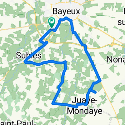 Bayeux Sud - Juaye Mondaye
- Distanz
- 27,1 km
- Aufstieg
- 104 m
- Abstieg
- 102 m
- Standort
- Bayeux, Normandy, Frankreich
In der App öffnen