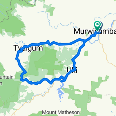
Northern Rivers Rail Trail (N>S)
- 24,2 km
- 206 m
- 179 m
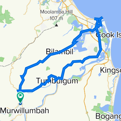
- Murwillumbah, New South Wales, Australien
Eine Fahrradroute, die in Murwillumbah, New South Wales, Australien beginnt.
Übersicht
We start off at UKi and travel East and then North along the Kyogle Road following the Tweed River. At around 10k we trun left onto the Tyalgum Road which follows the Oxley River. We stop at Tyalgum for morning tea. We then head South on Brays Creek Road. At 33k veer left onto Byrrill Creek road. We steadily climb though bushland on an unsealed road. At the 38k mark we start to descend with glimpses of the Byrrill creek on the right and Mount Warning on our left. At 49.8k we turn left into the Kyogle Road which we follow to Uki. Lunch at Uki in the park or at the coffee shop or pub.
Erstellt vor 8 Jahren
Weiter mit Bikemap
Du möchtest GCBW - Around Mount Warning fahren oder sie für deine eigene Reise anpassen? Folgendes kannst du mit dieser Bikemap-Route machen:
Kostenlose Testversion für 3 Tage oder einmalige Zahlung. Mehr über Bikemap Premium.
Entdecke weitere Premium-Funktionen.
Bikemap Premium aktivierenVon unserer Community
In der App öffnen