

TOUR DU MONT BLANC #TMB
Eine Fahrradroute, die in Courmayeur, Aostatal, Italien beginnt.
Übersicht
Über diese Route
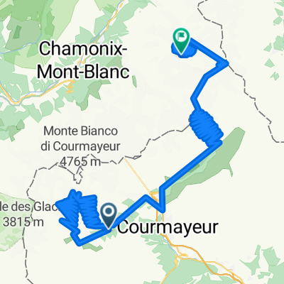
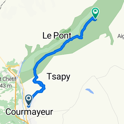
Tour du Mont Blanc Enduro Bikepacking Trip #TMB, an spectacular track that goes around Mont Blanc (4810m). We biked around the tallest peaks in Europe that rises between green valleys and white glaciers. We sow marmots all over we looked, big bearded vulture and ibexs. We biked around 200km (80% rideable and 20% pushbike) in 3 countries and climbed over 8500m elevation in 5 days, 20% paved, 30% forest road and 50% singletrack !!!
- -:--
- Dauer
- 170,7 km
- Distanz
- 6.341 m
- Aufstieg
- 6.341 m
- Abstieg
- ---
- Ø-Tempo
- ---
- Max. Höhe

Weiter mit Bikemap
Diese Radroute verwenden, bearbeiten oder herunterladen
Du möchtest TOUR DU MONT BLANC #TMB fahren oder sie für deine eigene Reise anpassen? Folgendes kannst du mit dieser Bikemap-Route machen:
Gratis Funktionen
- Speichere diese Route als Favorit oder in einer Sammlung
- Kopiere & plane deine eigene Version dieser Route
- Teile sie in Etappen ein, um eine mehrtägige Tour zu erstellen
- Synchronisiere deine Route mit Garmin oder Wahoo
Premium-Funktionen
Kostenlose Testversion für 3 Tage oder einmalige Zahlung. Mehr über Bikemap Premium.
- Navigiere diese Route auf iOS & Android
- Exportiere eine GPX / KML-Datei dieser Route
- Erstelle deinen individuellen Ausdruck (Jetzt kostenlos ausprobieren)
- Lade diese Route für die Offline-Navigation herunter
Entdecke weitere Premium-Funktionen.
Bikemap Premium aktivierenVon unserer Community
Courmayeur: Andere beliebte Routen, die hier beginnen
 Les Droites 6
- Distanz
- 134,2 km
- Aufstieg
- 6.206 m
- Abstieg
- 4.335 m
- Standort
- Courmayeur, Aostatal, Italien
 Tour Mont Blanc in mountain bike
- Distanz
- 161,7 km
- Aufstieg
- 10.018 m
- Abstieg
- 10.020 m
- Standort
- Courmayeur, Aostatal, Italien
 Giro Italia _ Pinerolo - Courmayeur
- Distanz
- 220,8 km
- Aufstieg
- 4.804 m
- Abstieg
- 5.626 m
- Standort
- Courmayeur, Aostatal, Italien
 TMB day 3
- Distanz
- 33,8 km
- Aufstieg
- 1.838 m
- Abstieg
- 1.561 m
- Standort
- Courmayeur, Aostatal, Italien
 Courmayeur To Val Ferret
- Distanz
- 40,4 km
- Aufstieg
- 1.067 m
- Abstieg
- 1.057 m
- Standort
- Courmayeur, Aostatal, Italien
 Da Località Planpincieux a G. Jorasses (20)
- Distanz
- 13,7 km
- Aufstieg
- 140 m
- Abstieg
- 201 m
- Standort
- Courmayeur, Aostatal, Italien
 Col de la Seigne
- Distanz
- 37,6 km
- Aufstieg
- 1.327 m
- Abstieg
- 1.338 m
- Standort
- Courmayeur, Aostatal, Italien
 Courmayeur-Rif.Bonatti
- Distanz
- 11,7 km
- Aufstieg
- 1.009 m
- Abstieg
- 213 m
- Standort
- Courmayeur, Aostatal, Italien
In der App öffnen