

BikeBratislava - Bratislava Forest Park (Železná Studnička, Koliba, Kamzík)
Eine Fahrradroute, die in Pressburg, Bratislavský kraj, Slowakei (Slowakische Republik) beginnt.
Übersicht
Über diese Route
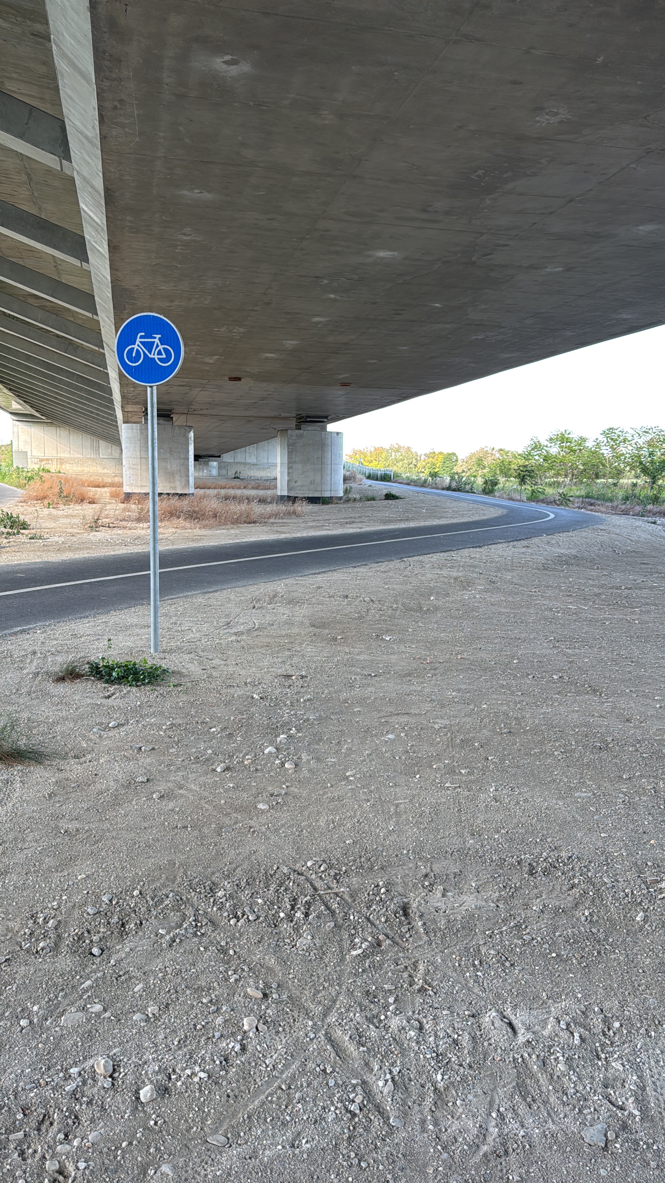
Bratislava Forest Park is the perfect nature route with many kilometers of paved roads but also forest tracks for the more aventurous ones. Be prepared for a more hilly terrain with beautiful views and great scenery. We highly recommend you to follow this track if you want to stay away from the city within the actual city. By the way, you can also use the ski lift to Kamzik hill in case you would like to sit for a while and enjoy the nature from the birds' perspective.
- -:--
- Dauer
- 17,4 km
- Distanz
- 364 m
- Aufstieg
- 361 m
- Abstieg
- ---
- Ø-Tempo
- ---
- Max. Höhe

Routenqualität
Wegtypen und Untergründe entlang der Route
Wegtypen
Ruhige Straße
10,3 km
(59 %)
Zufahrtsstraße
2,4 km
(14 %)
Untergründe
Befestigt
13,7 km
(78 %)
Unbefestigt
1,5 km
(9 %)
Asphalt
12,6 km
(72 %)
Beton
1,1 km
(6 %)
Weiter mit Bikemap
Diese Radroute verwenden, bearbeiten oder herunterladen
Du möchtest BikeBratislava - Bratislava Forest Park (Železná Studnička, Koliba, Kamzík) fahren oder sie für deine eigene Reise anpassen? Folgendes kannst du mit dieser Bikemap-Route machen:
Gratis Funktionen
- Speichere diese Route als Favorit oder in einer Sammlung
- Kopiere & plane deine eigene Version dieser Route
- Synchronisiere deine Route mit Garmin oder Wahoo
Premium-Funktionen
Kostenlose Testversion für 3 Tage oder einmalige Zahlung. Mehr über Bikemap Premium.
- Navigiere diese Route auf iOS & Android
- Exportiere eine GPX / KML-Datei dieser Route
- Erstelle deinen individuellen Ausdruck (Jetzt kostenlos ausprobieren)
- Lade diese Route für die Offline-Navigation herunter
Entdecke weitere Premium-Funktionen.
Bikemap Premium aktivierenVon unserer Community
Pressburg: Andere beliebte Routen, die hier beginnen
 Žltá, Bratislava V to Fialová, Bratislava V
- Distanz
- 10,8 km
- Aufstieg
- 104 m
- Abstieg
- 96 m
- Standort
- Pressburg, Bratislavský kraj, Slowakei (Slowakische Republik)
 na Veľký Javorník a späť
- Distanz
- 39,4 km
- Aufstieg
- 550 m
- Abstieg
- 550 m
- Standort
- Pressburg, Bratislavský kraj, Slowakei (Slowakische Republik)
 Okolo Dunaja cez Vojku
- Distanz
- 65,5 km
- Aufstieg
- 75 m
- Abstieg
- 75 m
- Standort
- Pressburg, Bratislavský kraj, Slowakei (Slowakische Republik)
 Road: Kopce na železnej studničke
- Distanz
- 87,4 km
- Aufstieg
- 1.887 m
- Abstieg
- 1.882 m
- Standort
- Pressburg, Bratislavský kraj, Slowakei (Slowakische Republik)
 Bratislava - Kitsee - Jarovce - Rusovce
- Distanz
- 31,2 km
- Aufstieg
- 14 m
- Abstieg
- 17 m
- Standort
- Pressburg, Bratislavský kraj, Slowakei (Slowakische Republik)
 Okolo Hainburgských vŕškov
- Distanz
- 41 km
- Aufstieg
- 177 m
- Abstieg
- 178 m
- Standort
- Pressburg, Bratislavský kraj, Slowakei (Slowakische Republik)
 okolo Hundsheimeru
- Distanz
- 43 km
- Aufstieg
- 218 m
- Abstieg
- 210 m
- Standort
- Pressburg, Bratislavský kraj, Slowakei (Slowakische Republik)
 Milanova80tka
- Distanz
- 74,9 km
- Aufstieg
- 48 m
- Abstieg
- 48 m
- Standort
- Pressburg, Bratislavský kraj, Slowakei (Slowakische Republik)
In der App öffnen