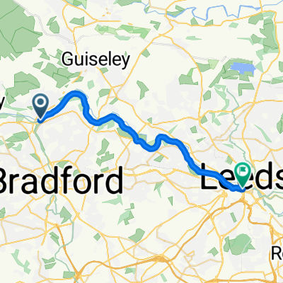
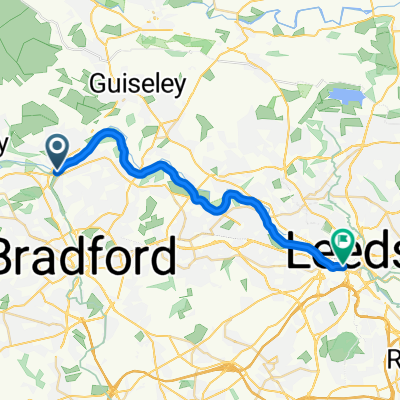
- 81,8 km
- 395 m
- 442 m
- Shipley, England, Vereinigtes Königreich
Loop around Bradford
Eine Fahrradroute, die in Shipley, England, Vereinigtes Königreich beginnt.
Übersicht
Über diese Route
Version 1.1
Fast alle Strecken führen über Straßen. Ich habe versucht, Radwege und ruhigere Straßen durch Wohnsiedlungen zu nutzen, wo immer es möglich war, aber es sind zwangsläufig auch viele Hauptstrecken enthalten.
(Der Kanal kann für eine ruhigere [und flachere] Strecke zwischen Bingley & Shipley genutzt werden, oder sogar bis nach Apperley Bridge, um bei Greengates wieder auf die Strecke zu gelangen.)
Es gibt etwa 100m unwegsames Waldgebiet in Fagley - einige Stufen und dann ein rauer Pfad. Dies kann vermieden werden, indem man entweder einen Teil oder den gesamten Weg die Harrogate Rd hinauf fährt, dann die Leeds Rd->Gain Lane; oder über Calverley & Woodhall Hill, aber das gehört technisch gesehen zu Leeds! ;)
Es gibt auch einen leicht unebenen Abschnitt, der hinunter zum Ford über Harden Beck in Bingley führt. Der Ford ist wahrscheinlich zu tief für ein Fahrrad, aber es gibt eine Fußgängerbrücke - zugänglich über zwei schmale Quereinrichtungen. Wenn du dein Fahrrad nicht hochheben kannst, bleib auf der Hauptstraße nach Bingley, dann wieder hinaus auf der Bradford Rd.
Die Strecke ist im Uhrzeigersinn geplant, aber gegen den Uhrzeigersinn gibt es kürzere Anstiege.
- -:--
- Dauer
- 48,3 km
- Distanz
- 541 m
- Aufstieg
- 541 m
- Abstieg
- ---
- Ø-Tempo
- ---
- Max. Höhe
Erstellt vor 7 Jahren
Routenqualität
Wegtypen und Untergründe entlang der Route
Wegtypen
Ruhige Straße
16 km
(33 %)
Straße
12,6 km
(26 %)
Untergründe
Befestigt
9,7 km
(20 %)
Unbefestigt
1,5 km
(3 %)
Asphalt
9,7 km
(20 %)
Natürlicher Untergrund
1,5 km
(3 %)
Undefiniert
37,2 km
(77 %)
Highlights der Route
POIs entlang der Route
Interessanter Ort nach 8,2 km
Some steps then a rough woodland path for about 50m. If that's a problem, stay on Oakdale, then there is a footpath through to Wharncliffe, up Harrogate Road, then join Leeds Rd/Gain Lane at Undercliffe.
Interessanter Ort nach 42,5 km
Ford. Footpath over via 2 squeeze stiles. Avoidable by going into Bingley town centre and out along Bradford Rd.
Weiter mit Bikemap
Diese Radroute verwenden, bearbeiten oder herunterladen
Du möchtest Loop around Bradford fahren oder sie für deine eigene Reise anpassen? Folgendes kannst du mit dieser Bikemap-Route machen:
Gratis Funktionen
- Speichere diese Route als Favorit oder in einer Sammlung
- Kopiere & plane deine eigene Version dieser Route
- Synchronisiere deine Route mit Garmin oder Wahoo
Premium-Funktionen
Kostenlose Testversion für 3 Tage oder einmalige Zahlung. Mehr über Bikemap Premium.
- Navigiere diese Route auf iOS & Android
- Exportiere eine GPX / KML-Datei dieser Route
- Erstelle deinen individuellen Ausdruck (Jetzt kostenlos ausprobieren)
- Lade diese Route für die Offline-Navigation herunter
Entdecke weitere Premium-Funktionen.
Bikemap Premium aktivierenVon unserer Community
Shipley: Andere beliebte Routen, die hier beginnen
- Bradford to Manchester
- Canal and moors
- 33,5 km
- 329 m
- 329 m
- Shipley, England, Vereinigtes Königreich
- Shipley - Leeds
- 20,2 km
- 150 m
- 190 m
- Shipley, England, Vereinigtes Königreich
- East Morton & East Bradford
- 44,5 km
- 451 m
- 449 m
- Shipley, England, Vereinigtes Königreich
- Bumpy Wharfedale route
- 54,3 km
- 612 m
- 612 m
- Shipley, England, Vereinigtes Königreich
- Apperley Bridge/Steeton loop
- 49,5 km
- 353 m
- 385 m
- Shipley, England, Vereinigtes Königreich
- Shipley - Leeds
- 20,4 km
- 47 m
- 87 m
- Shipley, England, Vereinigtes Königreich
- The Moo-ers
- 31,8 km
- 400 m
- 401 m
- Shipley, England, Vereinigtes Königreich
In der App öffnen


