Brittany
Brittany Tour - day 1 - St Malo to Fougeres
Eine Fahrradroute, die in Saint-Malo, Bretagne, Frankreich beginnt.
Übersicht
Über diese Route
Die erste Etappe einer Tour durch das östliche Bretagne, die teilweise von einer kürzeren Tour inspiriert ist, die auf der Website von Brittany Ferries veröffentlicht wurde. Die Tour beginnt am Fährterminal in St. Malo, nachdem wir die Übernachtung Fähre von Portsmouth genommen haben. Um die Entfernung nach Fougères zu verkürzen, führt die Route über Hauptstraßen direkt zur Bucht von Mont St Michel, anstatt die Radroute zu benutzen. Mont St Michel selbst wird ebenfalls ausgelassen, da wir bereits vorher dort waren, aber es ist nicht weit vom Weg entfernt. Die Strecke ist ziemlich flach bis zur Mittagspause in Pontorson und danach eher hügelig.
- -:--
- Dauer
- 82 km
- Distanz
- 291 m
- Aufstieg
- 189 m
- Abstieg
- ---
- Ø-Tempo
- ---
- Max. Höhe
Teil von
8 Etappen
Fotos von der Route
Routenqualität
Wegtypen und Untergründe entlang der Route
Wegtypen
Straße
20,5 km
(25 %)
Ruhige Straße
15,6 km
(19 %)
Untergründe
Befestigt
33,6 km
(41 %)
Unbefestigt
3,3 km
(4 %)
Asphalt
32,8 km
(40 %)
Schotter
1,6 km
(2 %)
Weiter mit Bikemap
Diese Radroute verwenden, bearbeiten oder herunterladen
Du möchtest Brittany Tour - day 1 - St Malo to Fougeres fahren oder sie für deine eigene Reise anpassen? Folgendes kannst du mit dieser Bikemap-Route machen:
Gratis Funktionen
- Speichere diese Route als Favorit oder in einer Sammlung
- Kopiere & plane deine eigene Version dieser Route
- Teile sie in Etappen ein, um eine mehrtägige Tour zu erstellen
- Synchronisiere deine Route mit Garmin oder Wahoo
Premium-Funktionen
Kostenlose Testversion für 3 Tage oder einmalige Zahlung. Mehr über Bikemap Premium.
- Navigiere diese Route auf iOS & Android
- Exportiere eine GPX / KML-Datei dieser Route
- Erstelle deinen individuellen Ausdruck (Jetzt kostenlos ausprobieren)
- Lade diese Route für die Offline-Navigation herunter
Entdecke weitere Premium-Funktionen.
Bikemap Premium aktivierenVon unserer Community
Saint-Malo: Andere beliebte Routen, die hier beginnen
 From Saint-Malo to Ancenis-Saint-Géréon
- Distanz
- 1.748,2 km
- Aufstieg
- 22.912 m
- Abstieg
- 22.737 m
- Standort
- Saint-Malo, Bretagne, Frankreich
 De Cour ville Collet 2, Saint-Malo à Rue Saint-Pierre 15, Saint-Malo
- Distanz
- 8,1 km
- Aufstieg
- 48 m
- Abstieg
- 46 m
- Standort
- Saint-Malo, Bretagne, Frankreich
 St-Malo - Avranches
- Distanz
- 79,8 km
- Aufstieg
- 203 m
- Abstieg
- 200 m
- Standort
- Saint-Malo, Bretagne, Frankreich
 Chaussée du Sillon nach Rue de l'Industrie
- Distanz
- 3 km
- Aufstieg
- 72 m
- Abstieg
- 120 m
- Standort
- Saint-Malo, Bretagne, Frankreich
 St-Malo - Avranches
- Distanz
- 82,1 km
- Aufstieg
- 303 m
- Abstieg
- 263 m
- Standort
- Saint-Malo, Bretagne, Frankreich
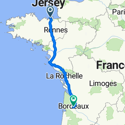 Place Chateaubriand, Saint-Malo to Place Rohan, Bordeaux
- Distanz
- 587,4 km
- Aufstieg
- 3.168 m
- Abstieg
- 3.169 m
- Standort
- Saint-Malo, Bretagne, Frankreich
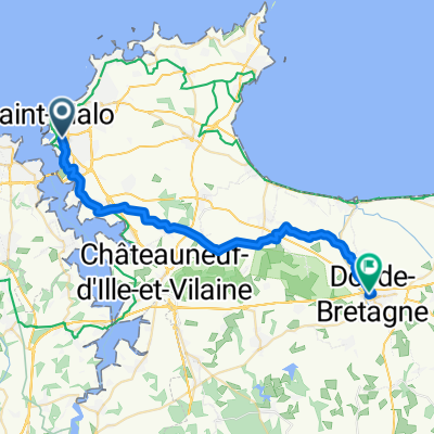 From Saint-Malo to Dol-de-Bretagne
- Distanz
- 29,3 km
- Aufstieg
- 169 m
- Abstieg
- 173 m
- Standort
- Saint-Malo, Bretagne, Frankreich
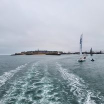 Staint Malo bis Martignon
- Distanz
- 40,9 km
- Aufstieg
- 374 m
- Abstieg
- 364 m
- Standort
- Saint-Malo, Bretagne, Frankreich
In der App öffnen


