palazzuolo mtb2-mtb5-mtb6-mtb2-ps3
- 37,9 km
- 1.254 m
- 1.254 m
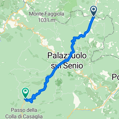
- Palazzuolo sul Senio, Toskana, Italien
Eine Fahrradroute, die in Palazzuolo sul Senio, Toskana, Italien beginnt.
Übersicht
Eine Etappe zwischen dem Senio- und dem Sintria-Tal, kurze und steile Abschnitte auf engen Straßen, technische Abstiege und raue Straßen, die oft während des Giro d'Italia befahren werden. Wir passieren Brisighella, ein Dorf voller Festungen und Burgen, das als einer der schönsten Orte Italiens gilt. Der dritte Anstieg des Tages wird die berüchtigte la Valletta sein, eine sehr enge Straße, die die Seite des Berges entlang einer Anbaufläche für Oliven und Wein hinaufführt, nur 2,7 Kilometer, aber sicherlich sehr intensiv. Der durchschnittliche Anstieg von fast 10% mit Spitzen von 18-20% macht diesen Anstieg zu einem der anspruchsvollsten der Region, auch wegen der langen Abschnitte ohne zwischengeschaltete Flachstücke. Seien Sie vorsichtig, die enge Straße und die steilen Hänge von 15-18% machen diese drei Kilometer auch bergab herausfordernd. Einmal in Zattaglia beginnt nach wenigen Metern auf einer leichten Steigung sofort der Anstieg nach Monte Albano. (4,7 km mit einem durchschnittlichen Anstieg von 6% – ziemlich gleichmäßiger Anstieg mit langen Abschnitten bei 7% und zwei Spitzen, die leicht über 8% liegen.) Nun folgen 5 km schneller Abfahrt, um die Brücke über den Fluss Senio in Casola Valsenio zu erreichen. Von dort biegen wir nach ein paar hundert Metern links in die Lavanda-Straße ein, die 5,6 km lang ist, mit einem ziemlich konstanten Anstieg, bei dem die Steigungen immer erschwinglich sind und praktisch nie über 8% liegen. Ausreichend breite Fahrbahn mit sanften Kurven, weiten Ausblicken und einem guten Blick auf die Gipsader. Einmal am Prugno wird uns eine enge Straße mit Auf- und Abfahrten zurück zur Hauptstraße führen, die uns zurück nach Palazzuolo bringt.
Erstellt vor 7 Jahren
Routenqualität
Ruhige Straße
28,6 km
(31 %)
Straße
26,8 km
(29 %)
Befestigt
74,8 km
(81 %)
Unbefestigt
3,7 km
(4 %)
Asphalt
73,9 km
(80 %)
Schotter
2,8 km
(3 %)
Weiter mit Bikemap
Du möchtest Stage 1 fahren oder sie für deine eigene Reise anpassen? Folgendes kannst du mit dieser Bikemap-Route machen:
Kostenlose Testversion für 3 Tage oder einmalige Zahlung. Mehr über Bikemap Premium.
Entdecke weitere Premium-Funktionen.
Bikemap Premium aktivierenVon unserer Community
In der App öffnen