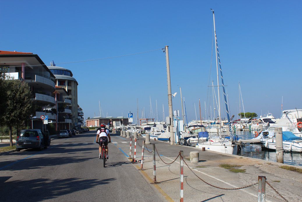
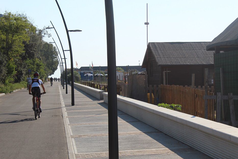
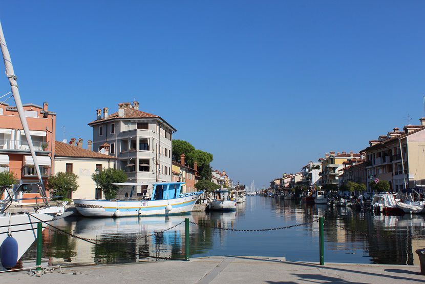
Premium Badge Aus dem App Store herunterladen Hol dir Bikemap auf Google Play Turn-by-Turn-Navigation Offline Maps Bike Type Optimized Routing Premium Maps Individueller Fahrradcomputer Routen-Export Route Previews Sturzerkennung Premium Support

Radroute

01 - ITINERARIO CICLABILE DI GRADO / RADTOUR GRADO / CYCLING ROUTE IN GRADO

58
Diese Route in Bikemap Web öffnen

Diese Route in Bikemap Web öffnen

11 km
Distanz
19 m
Aufstieg
19 m
Abstieg
-:-- h
Dauer
-- km/h
ø-Tempo
12 m
Max. Höhe

Über diese Route

Un percorso cittadino che vi farà toccare le diverse località di Grado:  il lungomare verso Pineta, il centro storico, il porto, la ciclabile lungo la laguna fino alla Costa Azzurra; un piacevole tour adatto a tutta la famiglia  durante il quale si possono ammirare i rigogliosi giardini, gustare un gelato in riva al mare, fermarsi e scoprire le bellezze del centro storico oppure sorseggiare un caffè al porto. Ciascun ciclista pedala sotto la propria esclusiva responsabilità e a proprio rischio e pericolo.

GIORNO/PERIODO CONSIGLIATO: Tutto l’anno.

------------------

Eine Stadtroute, auf der man durch die verschiedenen zu Grado gehörenden Ortsteile kommt:  die Strandpromenade nach Pineta, die Altstadt, der Hafen, der Radweg entlang der Lagune bis zum Strand Costa Azzurra; eine angenehme Radtour für die ganze Familie.  Auf ihr kann man die blühenden Gärten bewundern, ein Eis am Meer essen und einen Halt einlegen, um die Schönheiten der Altstadt zu bewundern oder um einen Kaffee am Hafen zu trinken.  Jeder Radfahrer radelt auf eigene Verantwortung und auf eigenes Risiko.

EMPFOHLENER TAG/ZEITRAUM: Das ganze Jahr über.

------------------

A city route that will take you to the various locations of Grado: the seafront towards Pineta, the old town centre, the harbour, the cycle path along the lagoon up to the the “Costa Azzurra”; a pleasant tour suitable for the whole family during which you can admire the lush gardens, enjoy an ice cream by the sea, take a break and discover the beauties of the historical centre centre or have a cup of coffee at the harbour. Each cyclist rides under his or her own responsibility and at his or her own risk.

DAY/PERIOD OF THE YEAR: All year round

Diese Fahrradroute ist ideal für: Citybike

Du fährst auf folgendem Untergrund: Asphaltiert

Fotos von der Route

Passe diese Fahrradroute mit dem Bikemap-Routenplaner an.

Mach sie zu deiner!

Du kannst diese Route als Vorlage in unserem Fahrrad-Routenplaner verwenden, damit du nicht bei Null anfangen musst. Passe sie nach deinen Bedürfnissen an, um deine perfekte Radtour zu planen.