

Coll De Sabatalla loop
Eine Fahrradroute, die in Port d'Alcúdia, Balearische Inseln, Spanien beginnt.
Übersicht
Über diese Route
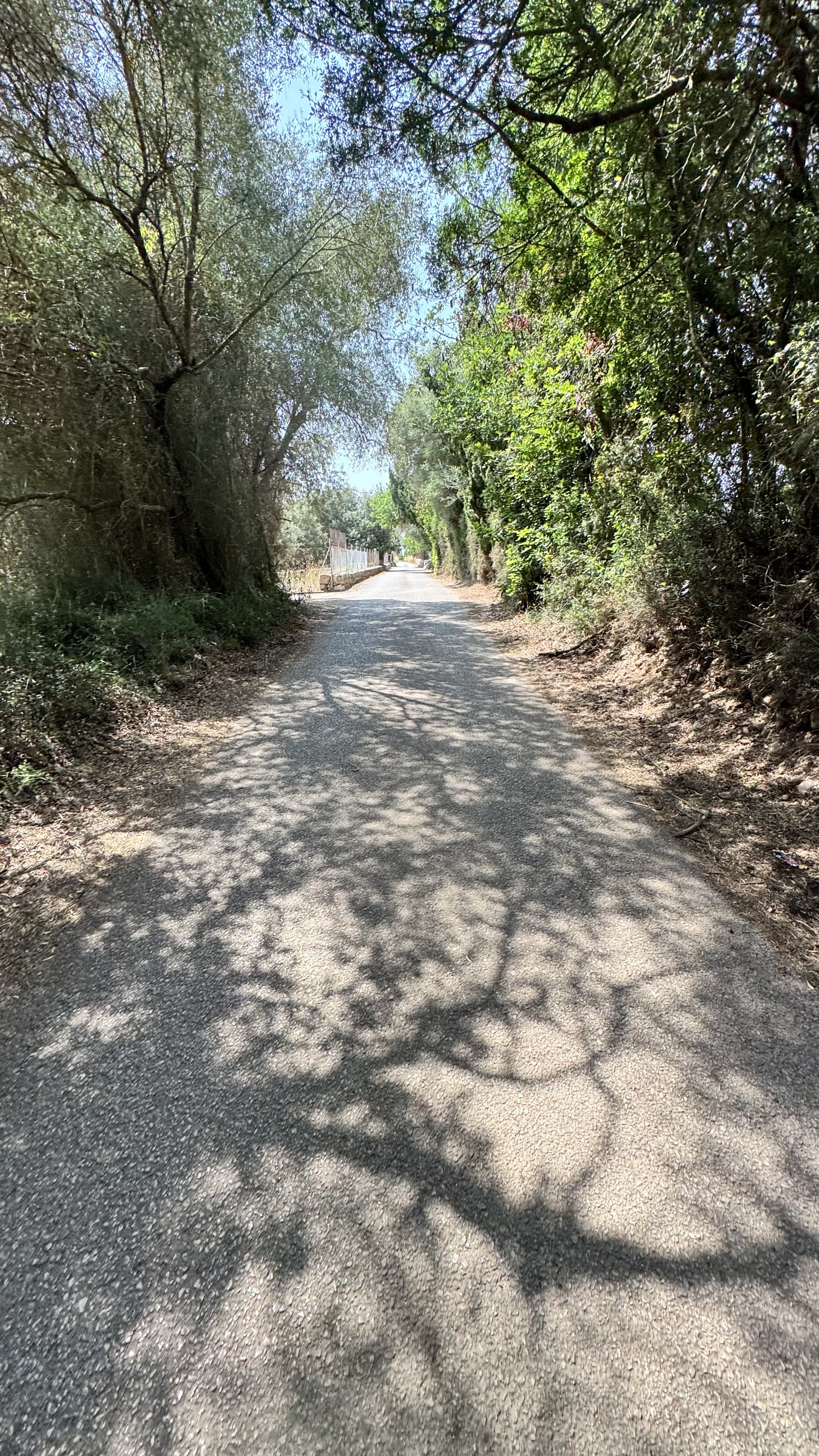
Große Fahrt hinaus. Man kann in Campanet auf dem Platz anhalten und einen Kaffee trinken. Man fährt durch Sa Pobla, nachdem man die Albufera hinter sich gelassen hat, dort habe ich 9 Jahre gelebt. Trink einen Kaffee an der Bar neben der Tankstelle oben am Coll de Sabatalla. Dann biegst du dort rechts ab und es gibt weitere zehn Minuten Aufstieg, dann ist es ein wunderbarer Abstieg bis nach Pollenca. Sei auf halbem Weg vorsichtig, da es eine Rechtskurve gibt, die viel länger ist, als sie scheint, und es leicht ist, weit hinaus zu driften. Geradeaus bis zum Hafen, wo es eine schöne Gelegenheit für einen Kaffee gibt, und dann eine einfache Runde um die Bucht zurück zu deinem Hotel.
- -:--
- Dauer
- 68,7 km
- Distanz
- 698 m
- Aufstieg
- 702 m
- Abstieg
- ---
- Ø-Tempo
- ---
- Max. Höhe
Routenqualität
Wegtypen und Untergründe entlang der Route
Wegtypen
Straße
11,7 km
(17 %)
Ruhige Straße
11,7 km
(17 %)
Untergründe
Befestigt
56,3 km
(82 %)
Unbefestigt
2,7 km
(4 %)
Asphalt
55,6 km
(81 %)
Unbefestigt (undefiniert)
1,4 km
(2 %)
Weiter mit Bikemap
Diese Radroute verwenden, bearbeiten oder herunterladen
Du möchtest Coll De Sabatalla loop fahren oder sie für deine eigene Reise anpassen? Folgendes kannst du mit dieser Bikemap-Route machen:
Gratis Funktionen
- Speichere diese Route als Favorit oder in einer Sammlung
- Kopiere & plane deine eigene Version dieser Route
- Synchronisiere deine Route mit Garmin oder Wahoo
Premium-Funktionen
Kostenlose Testversion für 3 Tage oder einmalige Zahlung. Mehr über Bikemap Premium.
- Navigiere diese Route auf iOS & Android
- Exportiere eine GPX / KML-Datei dieser Route
- Erstelle deinen individuellen Ausdruck (Jetzt kostenlos ausprobieren)
- Lade diese Route für die Offline-Navigation herunter
Entdecke weitere Premium-Funktionen.
Bikemap Premium aktivierenVon unserer Community
Port d'Alcúdia: Andere beliebte Routen, die hier beginnen
 Alcúdia-Sa Pobla-Llubi-Sineu-Santa magalida-Can Picafort
- Distanz
- 51,7 km
- Aufstieg
- 238 m
- Abstieg
- 233 m
- Standort
- Port d'Alcúdia, Balearische Inseln, Spanien
 47km 220hm naar kust
- Distanz
- 46,9 km
- Aufstieg
- 269 m
- Abstieg
- 266 m
- Standort
- Port d'Alcúdia, Balearische Inseln, Spanien
 Carrer Vidalba, Alcúdia to Carrer Vidalba, Alcúdia
- Distanz
- 42,6 km
- Aufstieg
- 115 m
- Abstieg
- 122 m
- Standort
- Port d'Alcúdia, Balearische Inseln, Spanien
 Pollença und Coll de l'Era / Coll de sa Batalla - Einrollen in die Berge
- Distanz
- 94,3 km
- Aufstieg
- 1.260 m
- Abstieg
- 1.249 m
- Standort
- Port d'Alcúdia, Balearische Inseln, Spanien
 Dag 1 gruppe 4
- Distanz
- 45,4 km
- Aufstieg
- 114 m
- Abstieg
- 116 m
- Standort
- Port d'Alcúdia, Balearische Inseln, Spanien
 Petra
Petra- Distanz
- 71,5 km
- Aufstieg
- 277 m
- Abstieg
- 276 m
- Standort
- Port d'Alcúdia, Balearische Inseln, Spanien
 Port d`ALcudia-Selva-Sencelles-Petra-P.d`Alcudia
- Distanz
- 120 km
- Aufstieg
- 759 m
- Abstieg
- 759 m
- Standort
- Port d'Alcúdia, Balearische Inseln, Spanien
 Port Alcudia - Llubi - Port Alcudia
- Distanz
- 55,1 km
- Aufstieg
- 258 m
- Abstieg
- 257 m
- Standort
- Port d'Alcúdia, Balearische Inseln, Spanien
In der App öffnen