Climb challenge
- 75 km
- 869 m
- 869 m
- Trimsaran, Wales, Vereinigtes Königreich
Eine Fahrradroute, die in Trimsaran, Wales, Vereinigtes Königreich beginnt.
Übersicht
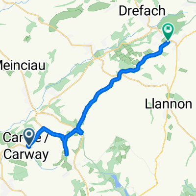
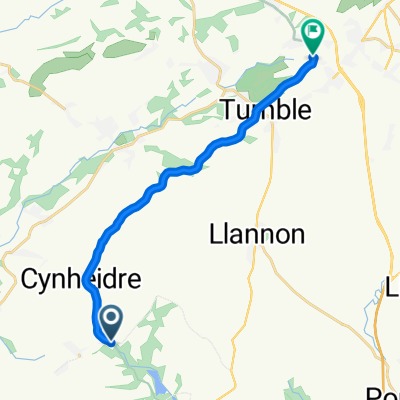
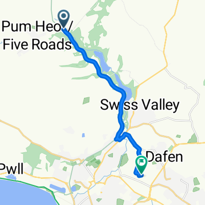
Dies ist eine ernsthafte Herausforderung, die einige Hauptstraßen, Landstraßen und Radwege umfasst. Es gibt hier steile Anstiege, wobei die Herberdeg Road meiner Meinung nach die herausforderndste ist. Die Hauptstraßen sind nicht übermäßig befahren, aber einige der Landstraßen sind eng und stellenweise uneben, seien Sie darauf vorbereitet, anzuhalten, um den Verkehr passieren zu lassen. Einige von Ihnen werden die Anstiege als zu heftig empfinden, aber wenn Sie es schaffen, diesen Kurs abzuschließen, wird Alpe d'Huez ein Kinderspiel sein (vielleicht)? Der letzte Teil des Kurses von Cynheidre nach Trimsaran ist größtenteils ein Radweg und eine gemütliche Fahrt zurück nach Trimsaran. Beginnen Sie im Freizeitcenter Trimsaran und beenden Sie hier mit einer schönen Tasse Tee im Café Becca. Fahren Sie von Trimsaran in Richtung Mynyddygarreg für Ihre Aufwärmhill-Session und dann größtenteils bergab nach Pontyates. Sie müssen wirklich Ihre Hügelradlerbeine dabei haben, um diesen Kurs abzuschließen. Es ist kein Rennen, und bitte behandeln Sie es nicht so, da einige der Straßen dafür nicht geeignet sind, aber was für eine Lungenerweiterung. Hinweis: Wenn Sie Trimsaran zum zweiten Mal betreten, möchten einige von Ihnen vielleicht die Herausforderung hier beenden. Auch beim letzten Besuch in Cynheidre könnten Sie die kürzere Hauptstraßenroute zurück nach Trimsaran nehmen, mit nur einem weiteren scharfen kleinen Anstieg, wenn Sie von Pontyates nach Carway abbiegen.
Erstellt vor 6 Jahren
Routenqualität
Ruhige Straße
36,8 km
(49 %)
Radweg
16,5 km
(22 %)
Befestigt
27 km
(36 %)
Asphalt
27 km
(36 %)
Undefiniert
48 km
(64 %)
Weiter mit Bikemap
Du möchtest Climb challenge fahren oder sie für deine eigene Reise anpassen? Folgendes kannst du mit dieser Bikemap-Route machen:
Kostenlose Testversion für 3 Tage oder einmalige Zahlung. Mehr über Bikemap Premium.
Entdecke weitere Premium-Funktionen.
Bikemap Premium aktivierenVon unserer Community
In der App öffnen