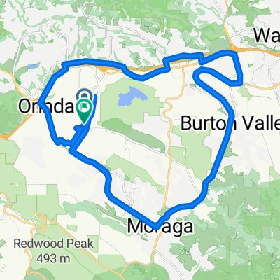
Radroute in Orinda, Kalifornien, USA
ALC Jelly Belly ride - outbound to Columbus & Ascot
0

Route in der Bikemap App öffnen

Diese Route in Bikemap Web öffnen
53
km
Distanz
Distanz
568
m
Aufstieg
Aufstieg
620
m
Abstieg
Abstieg
-:--
h
Dauer
Dauer
--
km/h
ø-Tempo
ø-Tempo
---
m
Max. Höhe
Max. Höhe