


WRT 2010
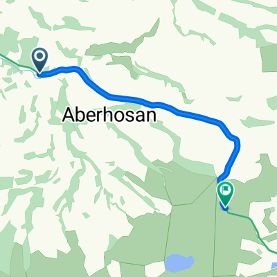
Eine Fahrradroute, die in Machynlleth, Wales, Vereinigtes Königreich beginnt.
Übersicht
Über diese Route
0
aktuelle Route für wrt2010
Da ich mit dem Zug angekommen bin, habe ich tatsächlich am Bahnhof Caersws mit dem Radfahren begonnen, übernachtete am Freitagabend auf dem Campingplatz in Llanidloes und fuhr am folgenden Morgen über den Hafren Forest nach Pennant für einen Start zur Mittagszeit.
Das bedeutete auch, dass ich nicht bis zum Bauernhof zurückreiste, sondern direkt zurück nach Llangurig -> Lanidloes -> Caersws gegen Montagmittag. Immer noch eine Runde, aber ich habe einen Teil der Endfahrt am Anfang gemacht. :-)
- -:--
- Dauer
- 159,3 km
- Distanz
- 1.630 m
- Aufstieg
- 1.630 m
- Abstieg
- ---
- Ø-Tempo
- ---
- Max. Höhe
bikehippy
Erstellt vor 16 Jahren
Routenqualität
Wegtypen und Untergründe entlang der Route
Wegtypen
Forst- / Feldweg
52,6 km
33 %
Ruhige Straße
47,8 km
30 %
Untergründe
Befestigt
23,9 km
(15 %)
Unbefestigt
22,3 km
(14 %)
Asphalt
23,9 km
15 %
Schotter
20,7 km
13 %
Highlights der Route
POIs entlang der Route
Unterkunft nach 9,4 km
Checkpoint 10 - Gully
Unterkunft nach 20,6 km
Checkpoint 12 - Foodbridge
Interessanter Ort nach 32,4 km
Missed the bridleway turning here (wasn't marked as bw)
Unterkunft nach 36,1 km
Checkpoint 13 - Nant Syddion Bothy
Interessanter Ort nach 38,6 km
dead end here - locked gate
Unterkunft nach 63,6 km
Checkpoint 7 - Strata Florida Abbey
Interessanter Ort nach 65,1 km
Oops, took a wrong turn at Strata Florida.
Unterkunft nach 76,8 km
Checkpoint 5 - hidden bothy
Unterkunft nach 80 km
Checkpoint 1 - in the middle of a bog. Decided against this one in the end.
Interessanter Ort nach 80 km
Too boggy. gave up, resulting in quite a lot of road-based backtracking.
Unterkunft nach 109,8 km
Checkpoint 8
Unterkunft nach 118,6 km
Checkpoint 11 - Nant Rhys Bothy
Unterkunft nach 129,5 km
Checkpoint 9 - Llangurig
Weiter mit Bikemap
Diese Radroute verwenden, bearbeiten oder herunterladen
Du möchtest WRT 2010 fahren oder sie für deine eigene Reise anpassen? Folgendes kannst du mit dieser Bikemap-Route machen:
Gratis Funktionen
- Speichere diese Route als Favorit oder in einer Sammlung
- Kopiere & plane deine eigene Version dieser Route
- Teile sie in Etappen ein, um eine mehrtägige Tour zu erstellen
- Synchronisiere deine Route mit Garmin oder Wahoo
Premium-Funktionen
Kostenlose Testversion für 3 Tage oder einmalige Zahlung. Mehr über Bikemap Premium.
- Navigiere diese Route auf iOS & Android
- Exportiere eine GPX / KML-Datei dieser Route
- Erstelle deinen individuellen Ausdruck (Jetzt kostenlos ausprobieren)
- Lade diese Route für die Offline-Navigation herunter
Entdecke weitere Premium-Funktionen.
Bikemap Premium aktivierenVon unserer Community
Machynlleth: Andere beliebte Routen, die hier beginnen


 The Gruthyn, Machynlleth to 4 Fro Heulog Cottages, Dolgellau1
- 24,4 km
- 6 m
- 16 m
- Machynlleth, Wales, Vereinigtes Königreich


 Dyfi Valley Way, Machynlleth to Cae-Gybi Road, Machynlleth0
- 0,7 km
- 15 m
- 3 m
- Machynlleth, Wales, Vereinigtes Königreich


In der App öffnen