

Mittlere-Isar-Straße - Oskar-von-Miller-Ring 20
Eine Fahrradroute, die in Unterföhring, Bayern, Bundesrepublik Deutschland beginnt.
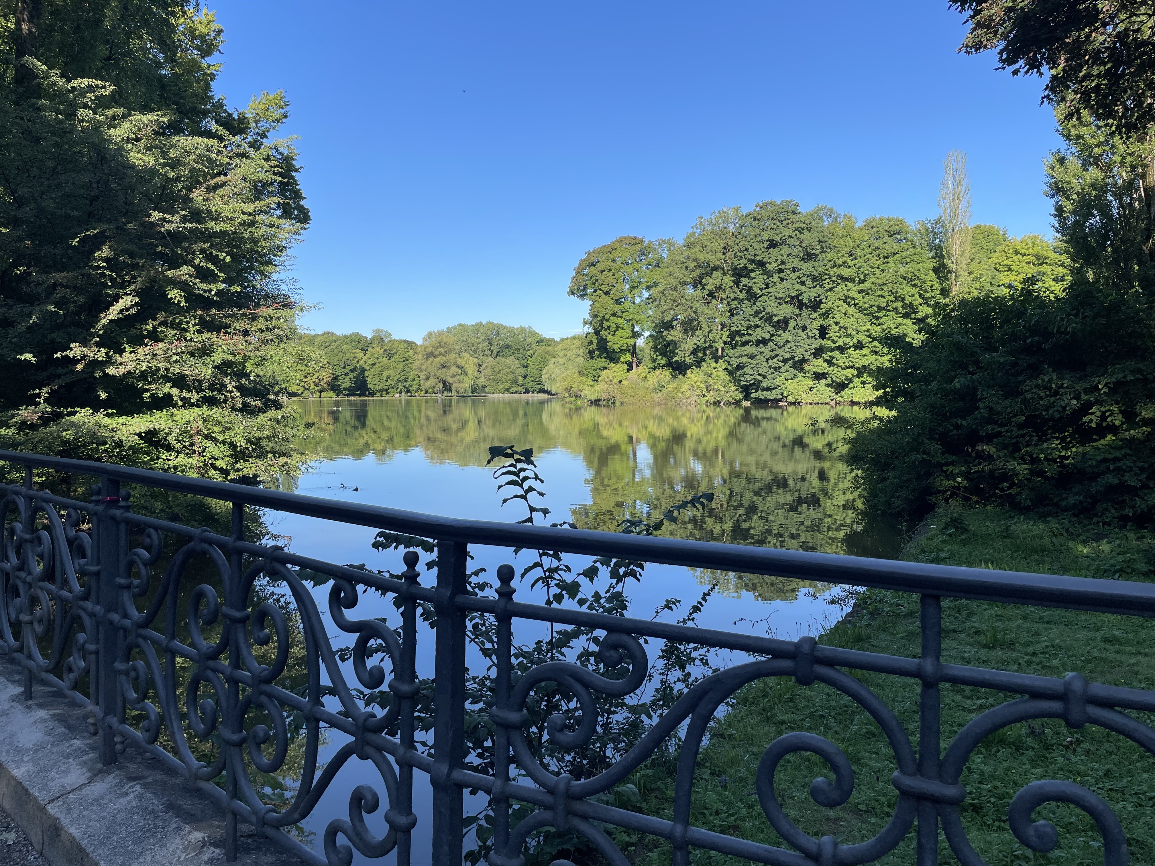
Übersicht
Über diese Route
<table class="directions-table " border="0" cellspacing="0" cellpadding="0" width="100%"> <tbody> <tr> <td class="directions-line directions-line-first" style="vertical-align: middle;"><img src="images/start.png" alt="" /></td> <td class="directions-line" colspan="2">Mittlere-Isar-Straße, 81925 München, Deutschland</td> </tr> <tr> <td class="directions-line directions-line-first">1.</td> <td class="directions-line">Richtung Südwest auf Mittlere-Isar-Straße</td> <td class="directions-line directions-line-last">0.4 km</td> </tr> <tr> <td class="directions-line directions-line-first">2.</td> <td class="directions-line">Rechts abbiegen</td> <td class="directions-line directions-line-last">0.7 km</td> </tr> <tr> <td class="directions-line directions-line-first">3.</td> <td class="directions-line">Weiter auf Heinrich-Mann-Allee</td> <td class="directions-line directions-line-last">1.9 km</td> </tr> <tr> <td class="directions-line directions-line-first">4.</td> <td class="directions-line">Weiter</td> <td class="directions-line directions-line-last">0.7 km</td> </tr> <tr> <td class="directions-line directions-line-first">5.</td> <td class="directions-line">Weiter auf Thomas-Mann-Allee</td> <td class="directions-line directions-line-last">31 m</td> </tr> <tr> <td class="directions-line directions-line-first">6.</td> <td class="directions-line">Rechts abbiegen</td> <td class="directions-line directions-line-last">0.4 km</td> </tr> <tr> <td class="directions-line directions-line-first">7.</td> <td class="directions-line">Weiter auf Unterführung</td> <td class="directions-line directions-line-last">0.2 km</td> </tr> <tr> <td class="directions-line directions-line-first">8.</td> <td class="directions-line">Links halten bei Emil-Riedel-Straße</td> <td class="directions-line directions-line-last">0.2 km</td> </tr> <tr> <td class="directions-line directions-line-first">9.</td> <td class="directions-line">Bei Paradiesstraße rechts abbiegen</td> <td class="directions-line directions-line-last">0.1 km</td> </tr> <tr> <td class="directions-line directions-line-first">10.</td> <td class="directions-line">Rechts halten bei Oettingenstraße</td> <td class="directions-line directions-line-last">23 m</td> </tr> <tr> <td class="directions-line directions-line-first">11.</td> <td class="directions-line">Links abbiegen</td> <td class="directions-line directions-line-last">0.6 km</td> </tr> <tr> <td class="directions-line directions-line-first">12.</td> <td class="directions-line">Bei Von-der-Tann-Straße rechts abbiegen</td> <td class="directions-line directions-line-last">0.9 km</td> </tr> <tr> <td class="directions-line directions-line-first">13.</td> <td class="directions-line">Weiter auf Ludwigstraße</td> <td class="directions-line directions-line-last">18 m</td> </tr> <tr> <td class="directions-line directions-line-first">14.</td> <td class="directions-line">Links abbiegen</td> <td class="directions-line directions-line-last">4 m</td> </tr> <tr> <td class="directions-line directions-line-first">15.</td> <td class="directions-line">Bei Oskar-von-Miller-Ring rechts abbiegen</td> <td class="directions-line directions-line-last">0.2 km</td> </tr> <tr> <td class="directions-line directions-line-first">16.</td> <td class="directions-line">Bei Kardinal-Döpfner-Straße links abbiegen</td> <td class="directions-line directions-line-last">19 m</td> </tr> <tr> <td class="directions-line directions-line-first">17.</td> <td class="directions-line">Rechts halten bei Oskar-von-Miller-Ring</td> <td class="directions-line directions-line-last">0.1 km</td> </tr> <tr> <td class="directions-line directions-line-first" style="padding-top: 4px; border: medium none;"><img src="images/stop.png" alt="" /></td> <td class="directions-line" style="border: medium none;" colspan="2">Oskar-von-Miller-Ring 20, 80333 München, Bundesrepublik Deutschland</td> </tr> </tbody> </table>
- -:--
- Dauer
- 5,7 km
- Distanz
- 48 m
- Aufstieg
- 31 m
- Abstieg
- ---
- Ø-Tempo
- ---
- Max. Höhe
Routenqualität
Wegtypen und Untergründe entlang der Route
Wegtypen
Pfad
3,4 km
(59 %)
Radweg
0,9 km
(15 %)
Untergründe
Befestigt
2,7 km
(48 %)
Unbefestigt
3 km
(52 %)
Schotter
3 km
(52 %)
Asphalt
2,5 km
(44 %)
Weiter mit Bikemap
Diese Radroute verwenden, bearbeiten oder herunterladen
Du möchtest Mittlere-Isar-Straße - Oskar-von-Miller-Ring 20 fahren oder sie für deine eigene Reise anpassen? Folgendes kannst du mit dieser Bikemap-Route machen:
Gratis Funktionen
- Speichere diese Route als Favorit oder in einer Sammlung
- Kopiere & plane deine eigene Version dieser Route
- Synchronisiere deine Route mit Garmin oder Wahoo
Premium-Funktionen
Kostenlose Testversion für 3 Tage oder einmalige Zahlung. Mehr über Bikemap Premium.
- Navigiere diese Route auf iOS & Android
- Exportiere eine GPX / KML-Datei dieser Route
- Erstelle deinen individuellen Ausdruck (Jetzt kostenlos ausprobieren)
- Lade diese Route für die Offline-Navigation herunter
Entdecke weitere Premium-Funktionen.
Bikemap Premium aktivierenVon unserer Community
Unterföhring: Andere beliebte Routen, die hier beginnen
 Runde zwischen Erding und Markt Schwaben
- Distanz
- 83,4 km
- Aufstieg
- 233 m
- Abstieg
- 233 m
- Standort
- Unterföhring, Bayern, Bundesrepublik Deutschland
 Pasing Schule
- Distanz
- 13,9 km
- Aufstieg
- 92 m
- Abstieg
- 63 m
- Standort
- Unterföhring, Bayern, Bundesrepublik Deutschland
 Unterföhring - Aschheim - Kirchheim - Fischweiher - Ismaning - Garching - Freimann - Unterföhring
- Distanz
- 33,8 km
- Aufstieg
- 35 m
- Abstieg
- 37 m
- Standort
- Unterföhring, Bayern, Bundesrepublik Deutschland
 21.04.
- Distanz
- 56,1 km
- Aufstieg
- 79 m
- Abstieg
- 82 m
- Standort
- Unterföhring, Bayern, Bundesrepublik Deutschland
 Zum Apple Workshop durch den Englischen Garten Tag 1
- Distanz
- 9,3 km
- Aufstieg
- 29 m
- Abstieg
- 26 m
- Standort
- Unterföhring, Bayern, Bundesrepublik Deutschland
 Ingolstädter Straße, München nach Infanteriestraße 15, München
- Distanz
- 6,4 km
- Aufstieg
- 27 m
- Abstieg
- 14 m
- Standort
- Unterföhring, Bayern, Bundesrepublik Deutschland
 kleine runde johnneskirchen
- Distanz
- 21,9 km
- Aufstieg
- 47 m
- Abstieg
- 49 m
- Standort
- Unterföhring, Bayern, Bundesrepublik Deutschland
 Speichersee Runde
- Distanz
- 42,8 km
- Aufstieg
- 45 m
- Abstieg
- 57 m
- Standort
- Unterföhring, Bayern, Bundesrepublik Deutschland
In der App öffnen