Radroute in Biel, Kanton Bern, Schweiz
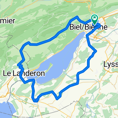
P-Biel/Lengnau/Plagne (29km)

Route in der Bikemap App öffnen

Diese Route in Bikemap Web öffnen
Distanz
Aufstieg
Abstieg
Dauer
ø-Tempo
Max. Höhe
Radroute in Biel, Kanton Bern, Schweiz
Route in der Bikemap App öffnen
Diese Route in Bikemap Web öffnen
Lovely route (all paved); this version of the route is the one with most steep climbs, you need good legs but it's the best one. Till Lengnau is flat but it's ok to warm-up, then it starts really nice route and countryside. Most difficult part of the climb is probably the beginning till km 12,5 into nice forest. Other difficult part is Vauffelin at km 18. At Plagne (km 21) starts the downhill: it's quite straight with no turns and you have to control your speed. VERY IMPORTANT: at km 24, while going downhill, you must turn left from main cantonal road to narrow street Römerstrasse, you need to be very careful. All in all, wonderful route in the area.
DANGER! Difficult turn on the left
Wusstest du schon? Du kannst diese Route als Vorlage in unserem Routenplaner verwenden, und sie ganz einfach nach deinen Bedürfnissen anpassen. So planst du noch schneller deine perfekte Radtour.
In der App öffnen