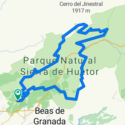
5-8-10 Trincheras en la Sierra de Huétor (IBP: 68)
- 28,8 km
- 717 m
- 717 m
- Víznar, Andalusien, Spanien
Eine Fahrradroute, die in Víznar, Andalusien, Spanien beginnt.
Übersicht
Moderate route (IBP: 68) taken from Antonio Aguilera. Very entertaining, with good views, plenty of shade and trees, paths in good to very good condition (except for a short rocky section), trenches from the Civil War... One or two water sources along the way (we didn't need to reach the second), but they are sufficient. However, the sanatorium has little or nothing to do with it, and the trenches of la Encina even less so: you have to walk up a goat path (literally, stepping on goat droppings) to see four stones and some views blocked by trees, along with the added nuisance of the thorny plants that have caused us a puncture. The rest of the trenches are easily accessible and quite spectacular, although in some you have to leave the bike nearby and walk through them, but it is worth it. It may be advisable to reverse the direction of the initial and final sections (between the Parking waypoint and the Desvío1 waypoint, to make it more manageable). A highly recommended route.
Erstellt vor 15 Jahren
Weiter mit Bikemap
Du möchtest 5-8-10 Trincheras en la Sierra de Huétor (IBP: 68) fahren oder sie für deine eigene Reise anpassen? Folgendes kannst du mit dieser Bikemap-Route machen:
Kostenlose Testversion für 3 Tage oder einmalige Zahlung. Mehr über Bikemap Premium.
Entdecke weitere Premium-Funktionen.
Bikemap Premium aktivierenVon unserer Community
In der App öffnen