

P-Biel/Twann/Lignières/CHASSERAL/Nods/Orvin/Evilard (62 km)
Eine Fahrradroute, die in Biel, Kanton Bern, Schweiz beginnt.
Übersicht
Über diese Route
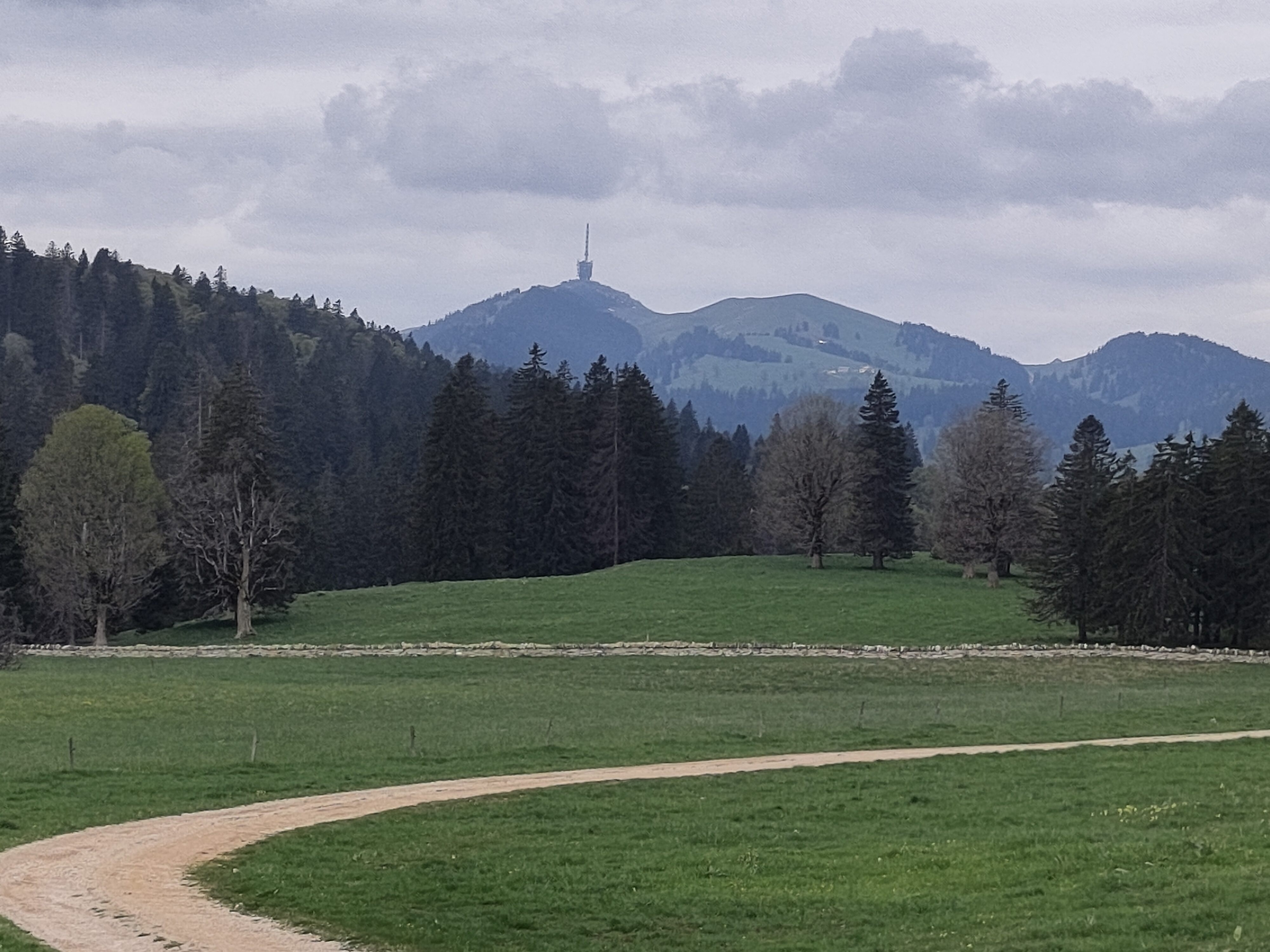
Wonderful route to get to the Chasseral (1606 mt. highest peak of Jura mountains). Few km to warm-up then at km 7 (Twann) starts steep climb of 4km. The real climb to Chasseral starts at km 24 (La Combe du Sapin) and the most difficult part is in the forest, till km 29 (around 8%). As soon as you get out of the forest, the climb is less difficult and it ends at the Chasseral hotel and parking. You can also continue by bike till the antenna, symbol of Chasseral mountain and region. Then it's a long downhill, apart 1km mild climb to Evilard, till Biel/Bienne.
- -:--
- Dauer
- 62,8 km
- Distanz
- 1.389 m
- Aufstieg
- 1.386 m
- Abstieg
- ---
- Ø-Tempo
- ---
- Max. Höhe

Routenqualität
Wegtypen und Untergründe entlang der Route
Wegtypen
Straße
43,7 km
(70 %)
Ruhige Straße
8,4 km
(13 %)
Untergründe
Befestigt
32,6 km
(52 %)
Asphalt
31,4 km
(50 %)
Befestigt (undefiniert)
1,1 km
(2 %)
Undefiniert
30,2 km
(48 %)
Highlights der Route
POIs entlang der Route
Trinkwasser nach 13,2 km
Trinkwasser nach 20,6 km
Trinkwasser nach 20,7 km
\" hervor")
Interessanter Ort nach 38,4 km
Chasseral telecommunication station (highest peak of Jura mountains 1606 mt.) https://fr.wikipedia.org/wiki/Chasseral https://en.wikipedia.org/wiki/Chasseral
Trinkwasser nach 41,2 km
Trinkwasser nach 56 km
Weiter mit Bikemap
Diese Radroute verwenden, bearbeiten oder herunterladen
Du möchtest P-Biel/Twann/Lignières/CHASSERAL/Nods/Orvin/Evilard (62 km) fahren oder sie für deine eigene Reise anpassen? Folgendes kannst du mit dieser Bikemap-Route machen:
Gratis Funktionen
- Speichere diese Route als Favorit oder in einer Sammlung
- Kopiere & plane deine eigene Version dieser Route
- Synchronisiere deine Route mit Garmin oder Wahoo
Premium-Funktionen
Kostenlose Testversion für 3 Tage oder einmalige Zahlung. Mehr über Bikemap Premium.
- Navigiere diese Route auf iOS & Android
- Exportiere eine GPX / KML-Datei dieser Route
- Erstelle deinen individuellen Ausdruck (Jetzt kostenlos ausprobieren)
- Lade diese Route für die Offline-Navigation herunter
Entdecke weitere Premium-Funktionen.
Bikemap Premium aktivierenVon unserer Community
Biel: Andere beliebte Routen, die hier beginnen
 P-BielerSee (77km)
- Distanz
- 76,7 km
- Aufstieg
- 394 m
- Abstieg
- 395 m
- Standort
- Biel, Kanton Bern, Schweiz
 Biel - Saisselin - Jobert - Biel
- Distanz
- 38,5 km
- Aufstieg
- 1.292 m
- Abstieg
- 1.293 m
- Standort
- Biel, Kanton Bern, Schweiz
 P-Biel/Evilard/Orvin/Plagne/Grenchen (37km)
- Distanz
- 37,8 km
- Aufstieg
- 683 m
- Abstieg
- 684 m
- Standort
- Biel, Kanton Bern, Schweiz
 P-Biel/Twann/Lignières/CHASSERAL/Nods/Orvin/Evilard (62 km)
- Distanz
- 62,8 km
- Aufstieg
- 1.389 m
- Abstieg
- 1.386 m
- Standort
- Biel, Kanton Bern, Schweiz
 P-Biel/Grenchen/Plagne (32km)
- Distanz
- 31,6 km
- Aufstieg
- 583 m
- Abstieg
- 581 m
- Standort
- Biel, Kanton Bern, Schweiz
 P-Biel/Aetigkofen (70km)
- Distanz
- 70,4 km
- Aufstieg
- 753 m
- Abstieg
- 749 m
- Standort
- Biel, Kanton Bern, Schweiz
 Biel-Gurnigel
- Distanz
- 140,6 km
- Aufstieg
- 1.682 m
- Abstieg
- 1.681 m
- Standort
- Biel, Kanton Bern, Schweiz
 De Quai du Bas 1, Biel/Bienne à Quai du Bas 1, Biel/Bienne
- Distanz
- 15,3 km
- Aufstieg
- 644 m
- Abstieg
- 647 m
- Standort
- Biel, Kanton Bern, Schweiz
In der App öffnen