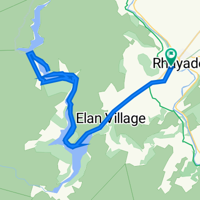
Trans Cambrian Cyclo Sportive
Eine Fahrradroute, die in Rhayader, Wales, Vereinigtes Königreich beginnt.
Übersicht
Über diese Route
<span style="color: #000000; font-family: Tahoma; font-size: small; line-height: 15px; -webkit-border-horizontal-spacing: 2px; -webkit-border-vertical-spacing: 2px;">The Trans Cambrian Cyclo Sportive is a road cycling event that traverses these mountains, starting from the old market town of Rhayader and taking a roller coaster route past Llyn Clywedog and The Star Inn down to Machynlleth and the sea. From here it snakes back through the mountains via Nant-y-Moch reservoir, Devils Bridge, and the 100 year old Elan Valley dams, finishing back in Rhayader town centre. It is 87 miles long, the highest point is 509m and the lowest point is just 6m above sea level.</span>
- -:--
- Dauer
- 138 km
- Distanz
- 1.356 m
- Aufstieg
- 1.363 m
- Abstieg
- ---
- Ø-Tempo
- ---
- Max. Höhe
Weiter mit Bikemap
Diese Radroute verwenden, bearbeiten oder herunterladen
Du möchtest Trans Cambrian Cyclo Sportive fahren oder sie für deine eigene Reise anpassen? Folgendes kannst du mit dieser Bikemap-Route machen:
Gratis Funktionen
- Speichere diese Route als Favorit oder in einer Sammlung
- Kopiere & plane deine eigene Version dieser Route
- Teile sie in Etappen ein, um eine mehrtägige Tour zu erstellen
- Synchronisiere deine Route mit Garmin oder Wahoo
Premium-Funktionen
Kostenlose Testversion für 3 Tage oder einmalige Zahlung. Mehr über Bikemap Premium.
- Navigiere diese Route auf iOS & Android
- Exportiere eine GPX / KML-Datei dieser Route
- Erstelle deinen individuellen Ausdruck (Jetzt kostenlos ausprobieren)
- Lade diese Route für die Offline-Navigation herunter
Entdecke weitere Premium-Funktionen.
Bikemap Premium aktivierenVon unserer Community
Rhayader: Andere beliebte Routen, die hier beginnen
 Etape 5 bis
- Distanz
- 84,5 km
- Aufstieg
- 1.041 m
- Abstieg
- 1.236 m
- Standort
- Rhayader, Wales, Vereinigtes Königreich
 Elan Valley, Hafod Estate, Elan Village
- Distanz
- 76,4 km
- Aufstieg
- 834 m
- Abstieg
- 834 m
- Standort
- Rhayader, Wales, Vereinigtes Königreich
 Elan Village One Way
- Distanz
- 19,1 km
- Aufstieg
- 242 m
- Abstieg
- 115 m
- Standort
- Rhayader, Wales, Vereinigtes Königreich
 Elan Valley Trail
- Distanz
- 43,6 km
- Aufstieg
- 801 m
- Abstieg
- 803 m
- Standort
- Rhayader, Wales, Vereinigtes Königreich
 Elan Village to Visitor Centre
- Distanz
- 101,8 km
- Aufstieg
- 4.995 m
- Abstieg
- 4.991 m
- Standort
- Rhayader, Wales, Vereinigtes Königreich
 TransCambrian Day 2
- Distanz
- 69,4 km
- Aufstieg
- 984 m
- Abstieg
- 920 m
- Standort
- Rhayader, Wales, Vereinigtes Königreich
 Elan Valley 15.5miles
- Distanz
- 25 km
- Aufstieg
- 436 m
- Abstieg
- 435 m
- Standort
- Rhayader, Wales, Vereinigtes Königreich
 Elan Valley 19.4
- Distanz
- 31,2 km
- Aufstieg
- 635 m
- Abstieg
- 636 m
- Standort
- Rhayader, Wales, Vereinigtes Königreich
In der App öffnen


